You are using an out of date browser. It may not display this or other websites correctly.
You should upgrade or use an alternative browser.
You should upgrade or use an alternative browser.
North Central (aka midWest) taco trails and adventures
- Thread starter JayQQ97
- Start date
JayQQ97
MW surVivor ... clutched. 365k on the 0D0
9-7-22
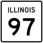
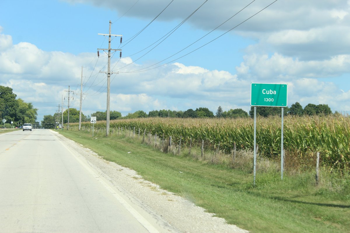
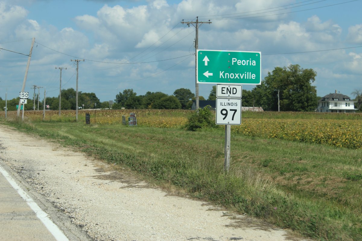
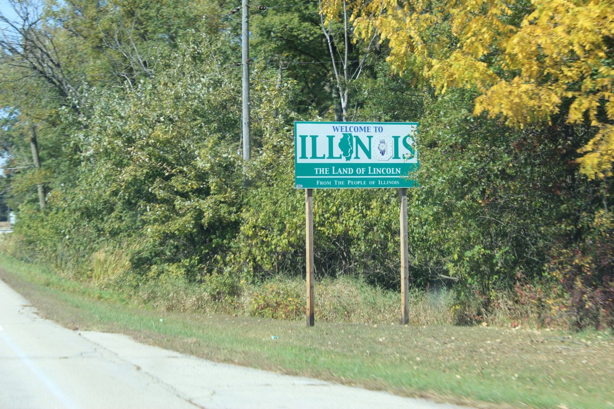
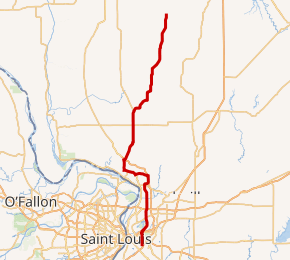
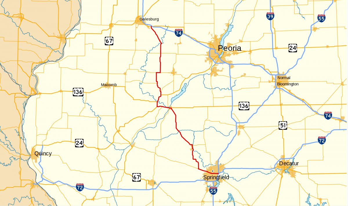
runs 104 miles from east Springfield at I-55 to US-150 south of Galesburg
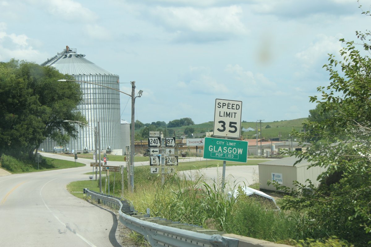
a taco adventure by the Illinois state capitol, plenty of cornfields and an old bridge over the Illinois river at Havana
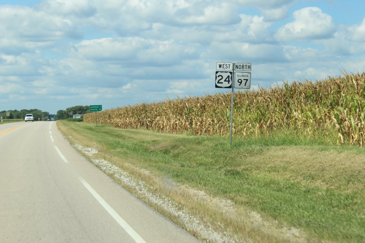
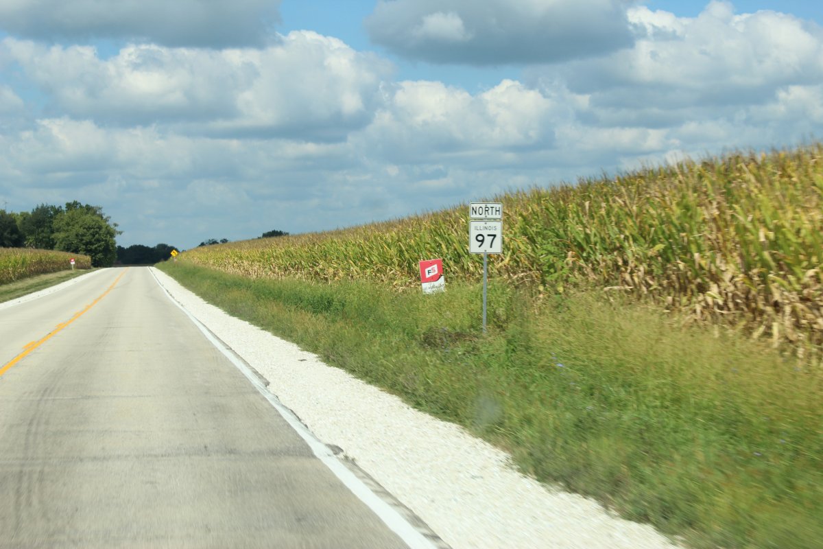
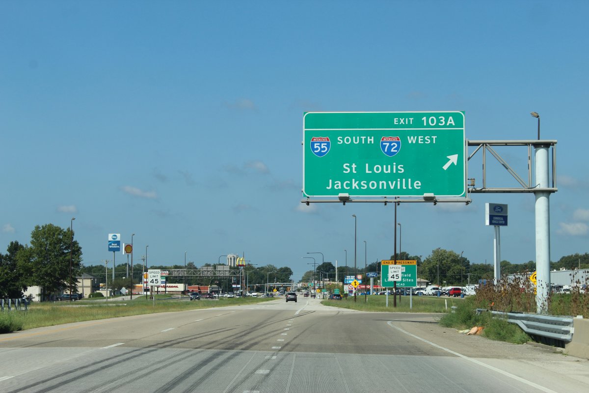
exit to IL-97 trailHead coming up in a quarter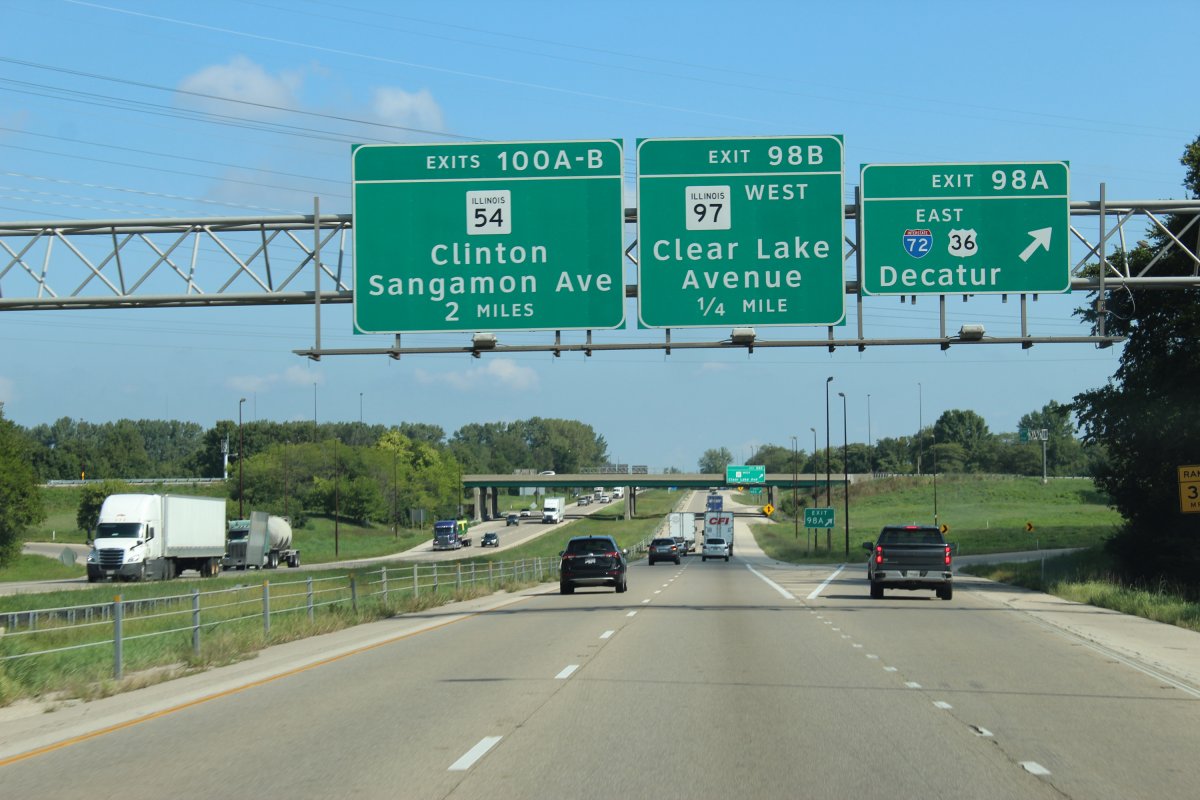
the adventure begins...
the Illinois state capitol in the distance

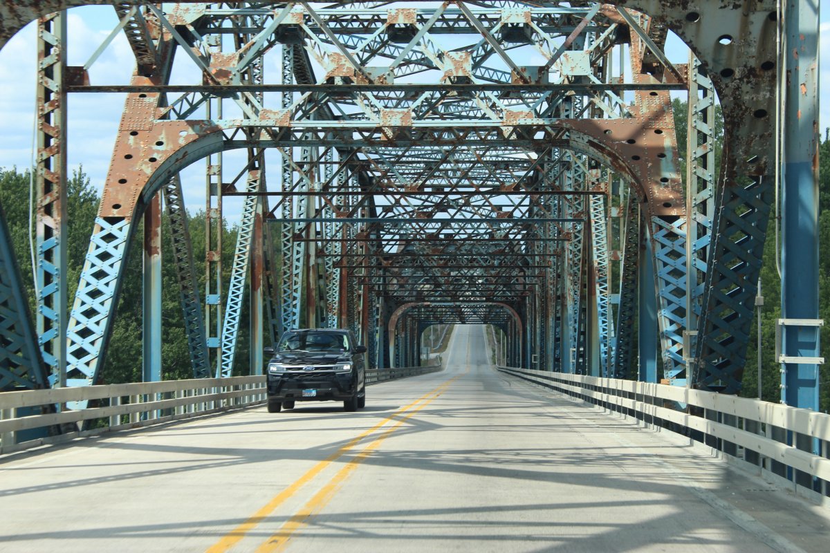
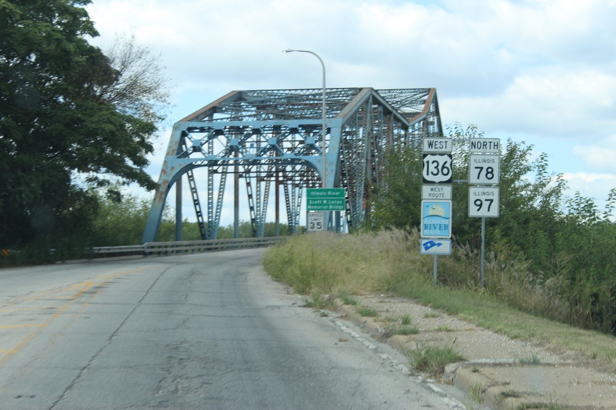
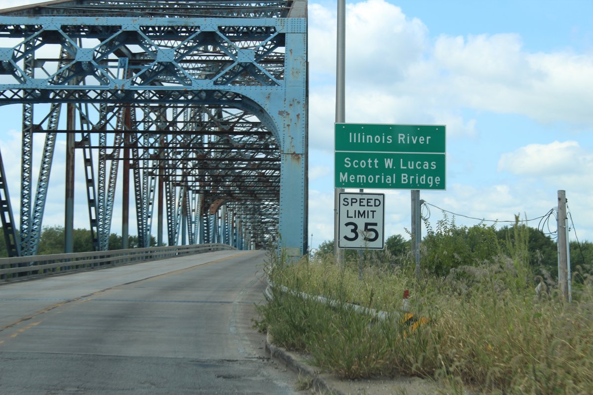
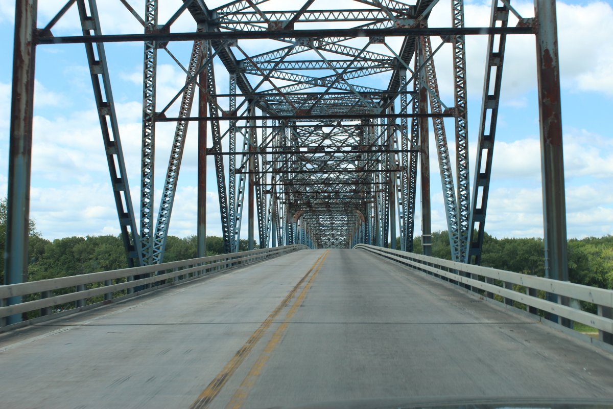
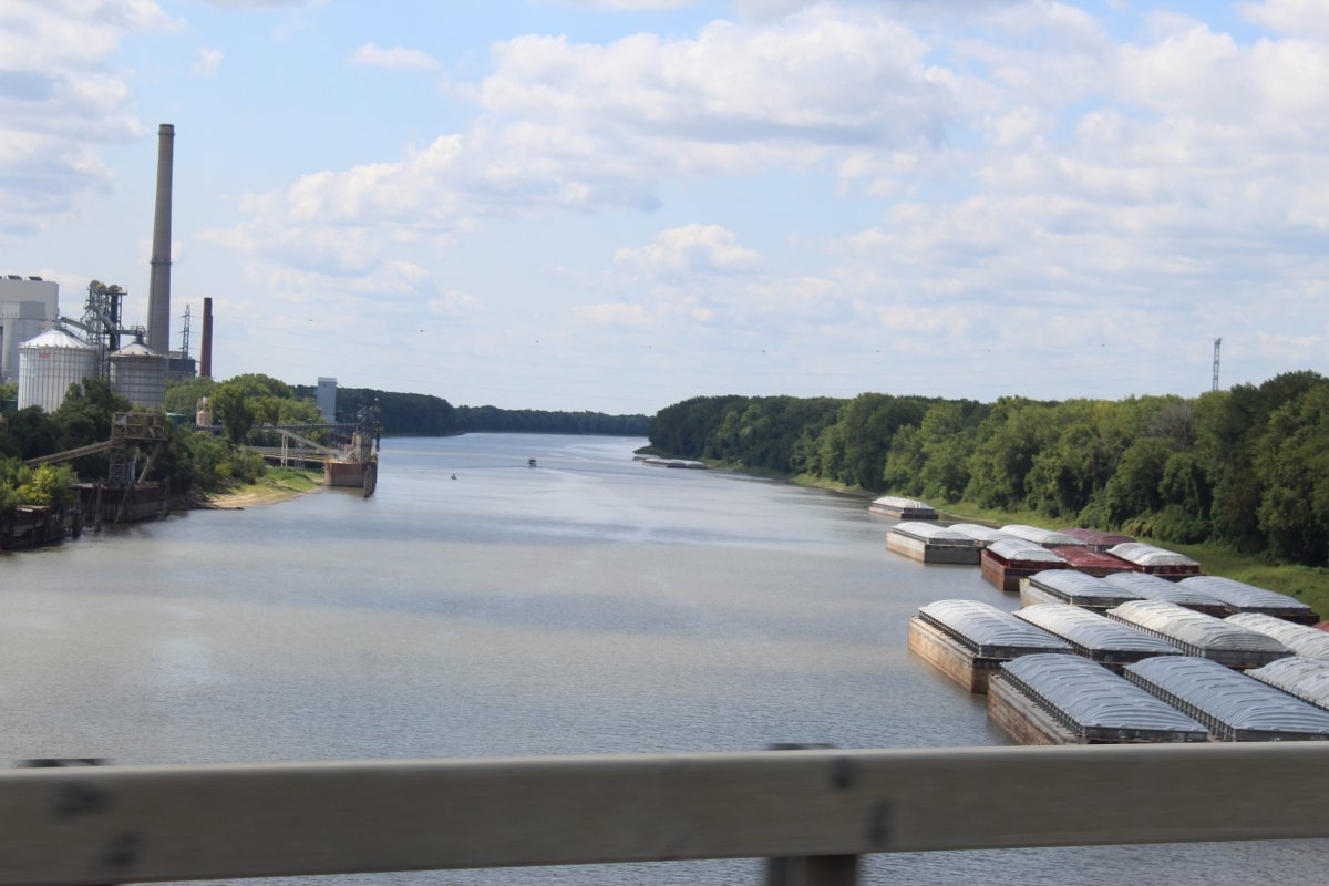
stopped for a snickers break in Havana before crossing the Illinois river (bridge in distance under Hardees sign)


runs 104 miles from east Springfield at I-55 to US-150 south of Galesburg
a taco adventure by the Illinois state capitol, plenty of cornfields and an old bridge over the Illinois river at Havana

exit to IL-97 trailHead coming up in a quarter

the adventure begins...

the Illinois state capitol in the distance

stopped for a snickers break in Havana before crossing the Illinois river (bridge in distance under Hardees sign)


Last edited:
JayQQ97
MW surVivor ... clutched. 365k on the 0D0
9-20-22

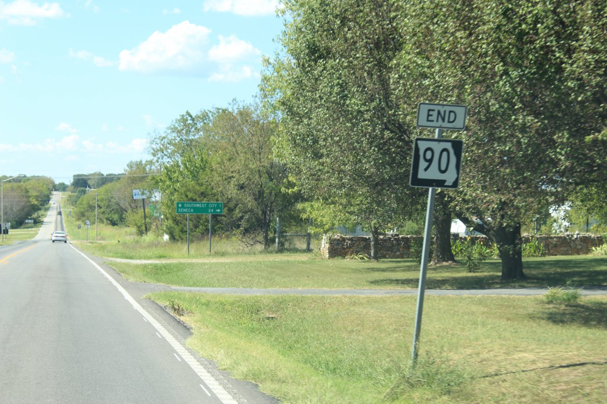
Tiger 90

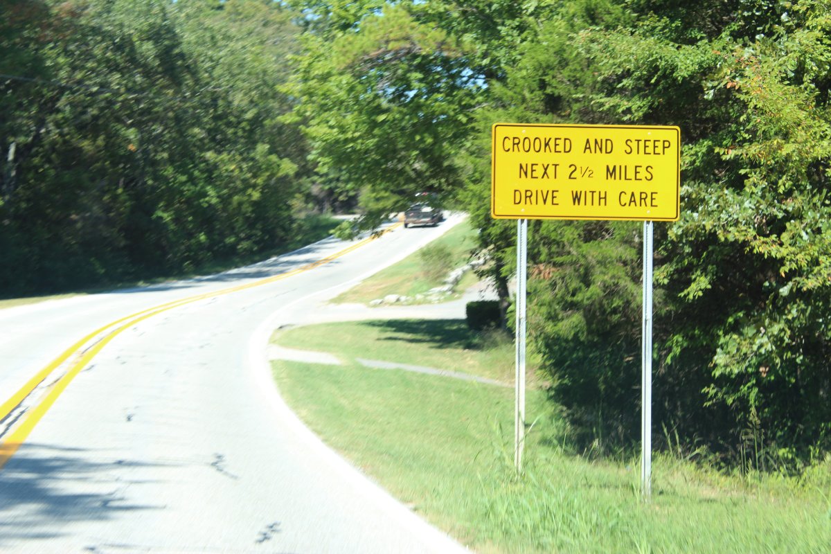
Route 90 is a two-lane highway for its entire length and is in rugged areas, very hilly and very curvy.

redeemed an FBR in Springdale AR before heading out
a frozen hot chocolate for a very hot morning
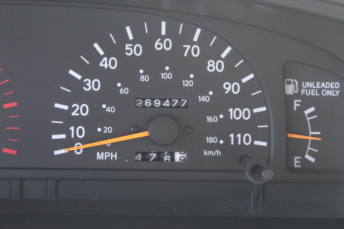
took a 'scenic' route to find that tiger trail east on US-412 to north AR-23 to US-62 in Eureka Springs, then west to AR-37 north to the Missouri border
US-62 is a wickked drive through NWC Arkansas, no safety time to look out at the mountains lest you drive right off the road
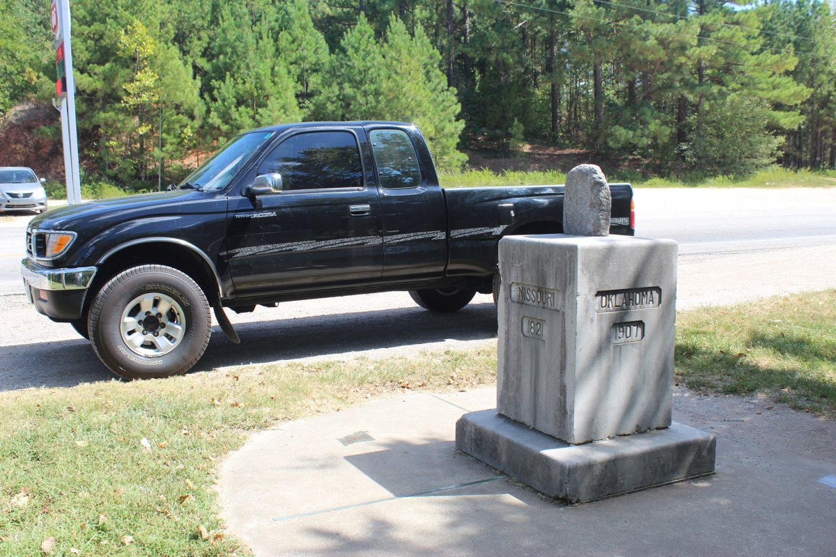
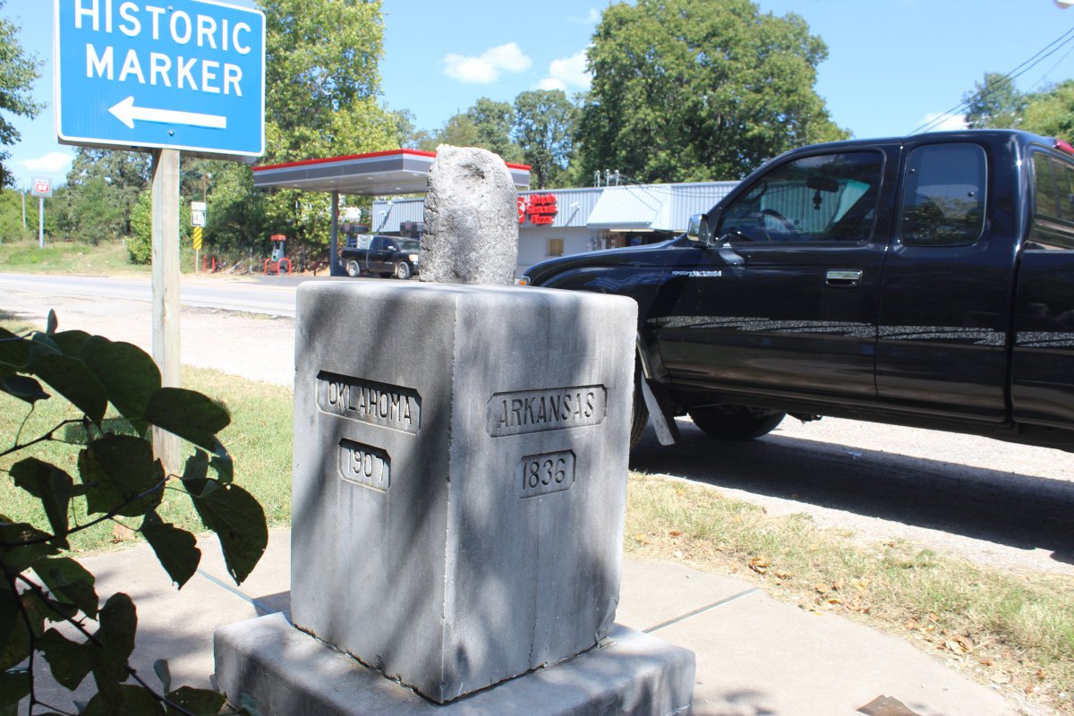
MO/AR border on route 37
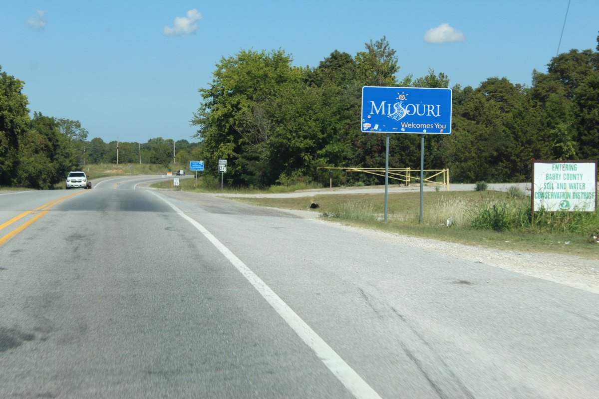
trailHead for Tiger 90 is just ahead
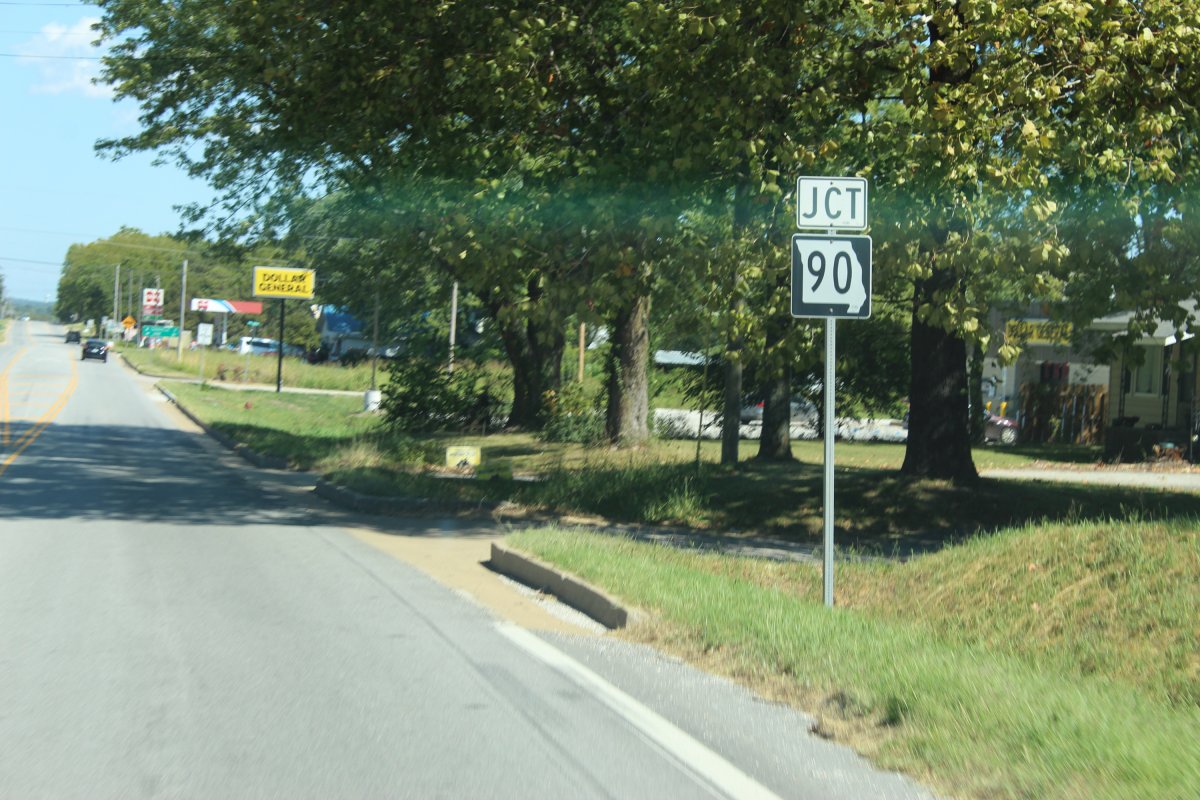
the rugged adventure begins
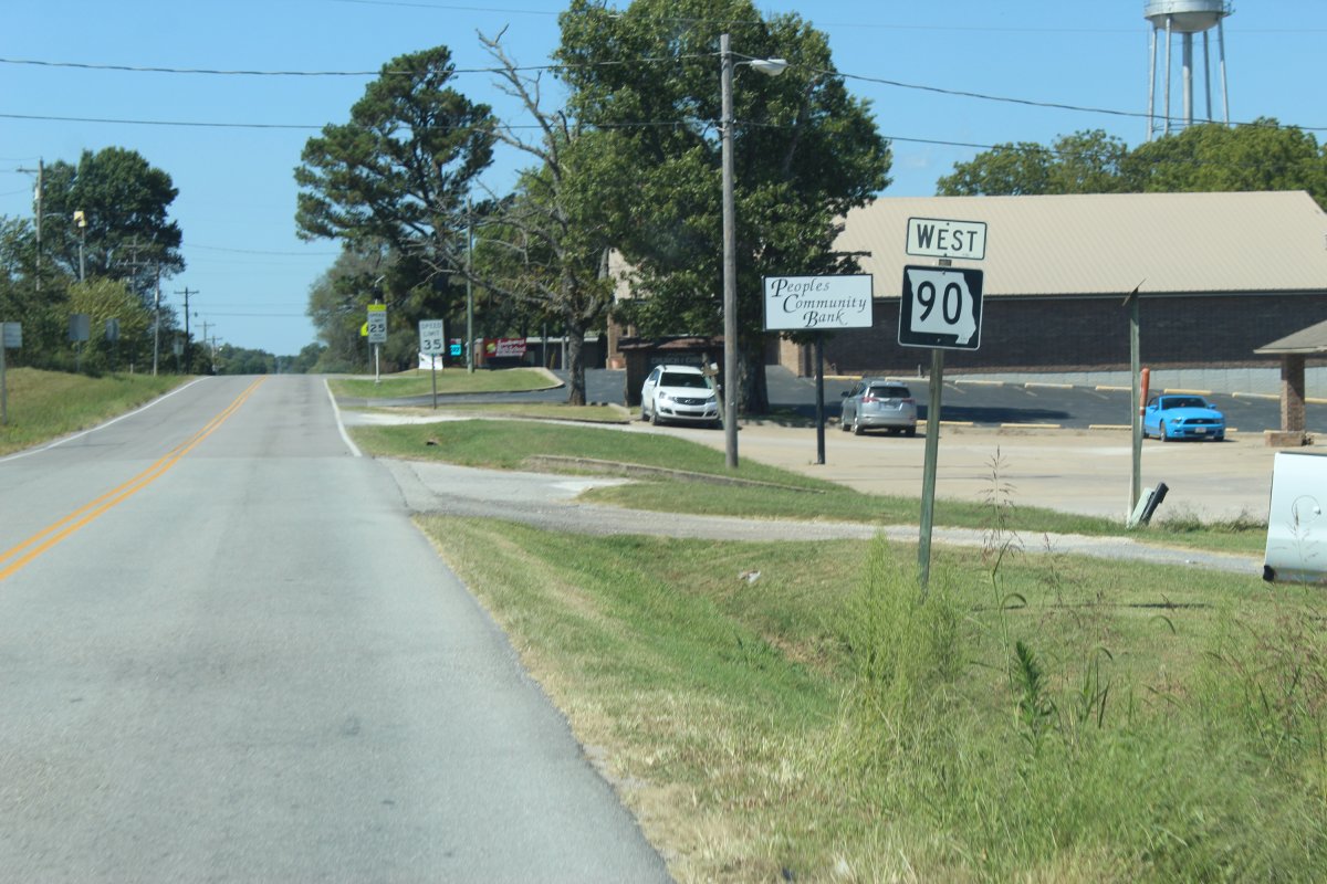

Tiger 90
Route 90 is a two-lane highway for its entire length and is in rugged areas, very hilly and very curvy.
redeemed an FBR in Springdale AR before heading out
a frozen hot chocolate for a very hot morning


took a 'scenic' route to find that tiger trail east on US-412 to north AR-23 to US-62 in Eureka Springs, then west to AR-37 north to the Missouri border
US-62 is a wickked drive through NWC Arkansas, no safety time to look out at the mountains lest you drive right off the road

MO/AR border on route 37

trailHead for Tiger 90 is just ahead

the rugged adventure begins

Last edited:
JayQQ97
MW surVivor ... clutched. 365k on the 0D0
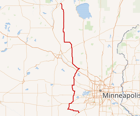
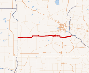
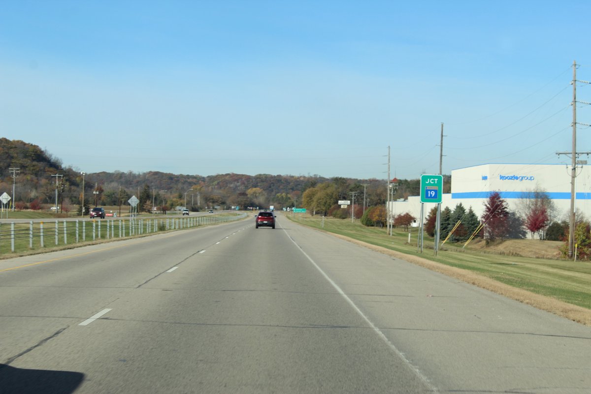
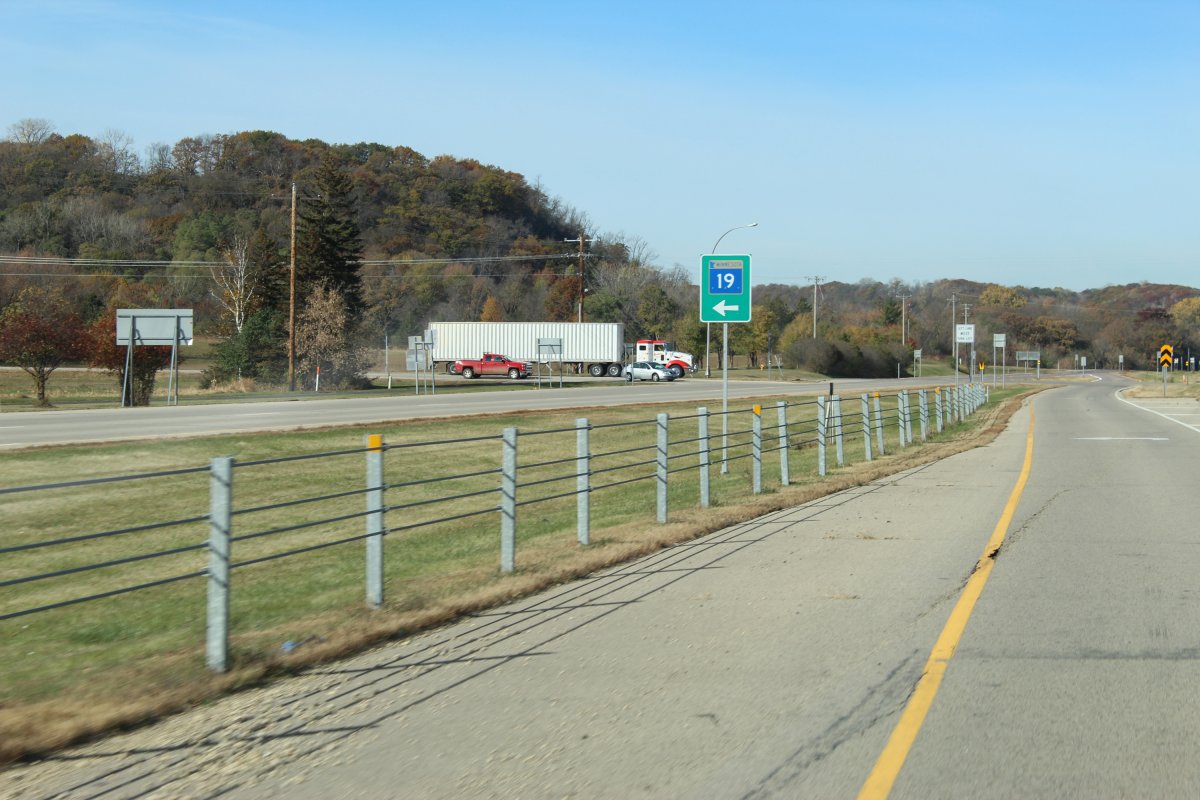
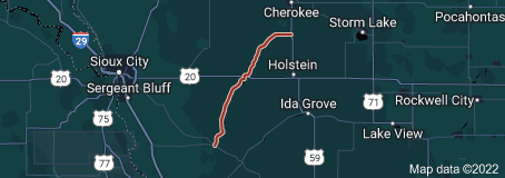
Quite the strange road this MN-19 was
Minnesota is the land of 10000 lakes
And yet I only recall seeing 1 lake along the 200+ miles road
Which was more of a pond than a lake lol
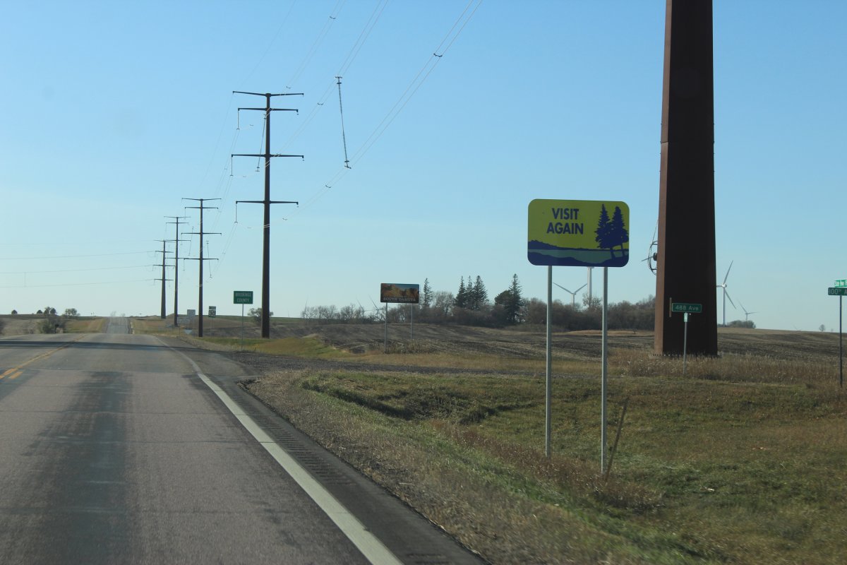
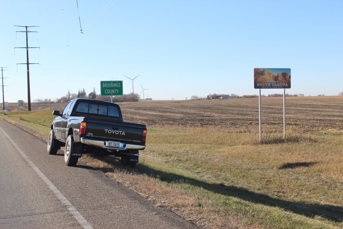
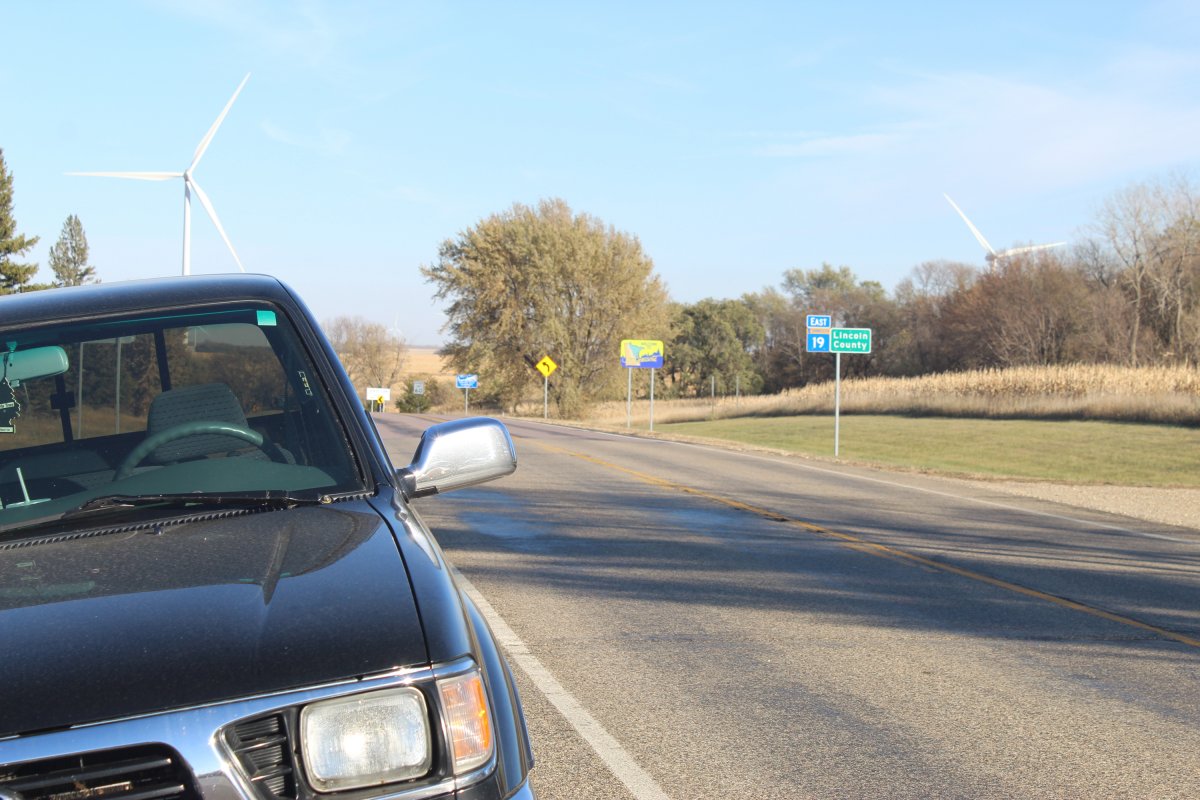
the end of Viking 19 at the SD border
welcome to South Dakota
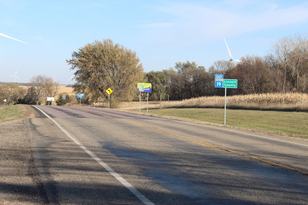
buhbye Minnesota
crazy high speed in SD on i29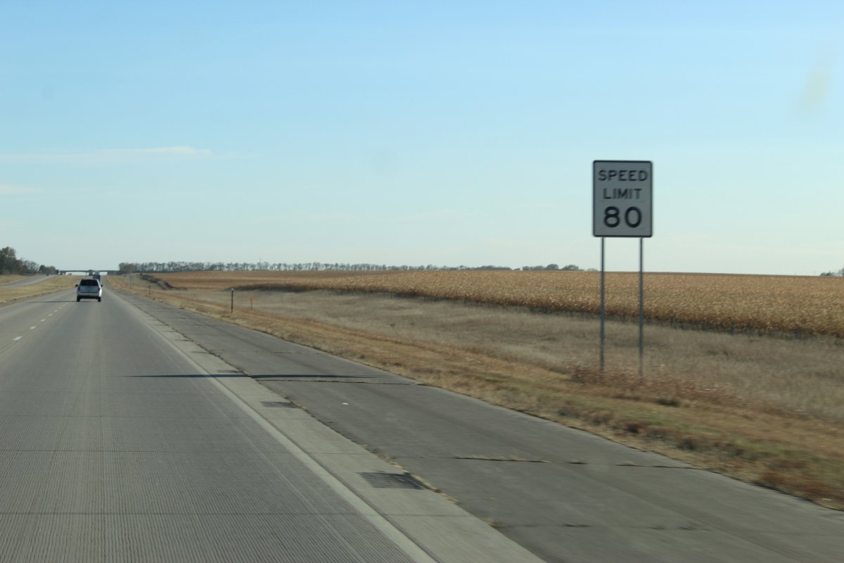

a roundTrip of 1204 miles

Minnesota is the land of 10000 lakes
And yet I only recall seeing 1 lake along the 200+ miles road
Which was more of a pond than a lake lol
the end of Viking 19 at the SD border

welcome to South Dakota


buhbye Minnesota

crazy high speed in SD on i29


a roundTrip of 1204 miles

Last edited:
JayQQ97
MW surVivor ... clutched. 365k on the 0D0
Or it could be like last year and be nothing but a cold & arid desert lolYou should wait a few months. Then we'll have ice and snow pack on the "trails".......and more potholes.
The only real snow I ran into last season was in KCMO blizzatd and way up north in north central Minnesota where the Mississippi river starts
Not even south Dakota had any measurable snow until near the North Dakota border
Lol
Rock62
Well-Known Member
Interesting. We had about 24"+ in our front yard.Or it could be like last year and be nothing but a cold & arid desert lol
The only real snow I ran into last season was in KCMO blizzatd and way up north in north central Minnesota where the Mississippi river starts
Not even south Dakota had any measurable snow until near the North Dakota border
Lol


