You are using an out of date browser. It may not display this or other websites correctly.
You should upgrade or use an alternative browser.
You should upgrade or use an alternative browser.
North Central (aka midWest) taco trails and adventures
- Thread starter JayQQ97
- Start date
JayQQ97
MW surVivor ... clutched. 368k on the 0D0
Day 10:
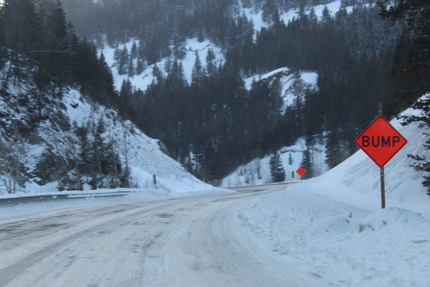
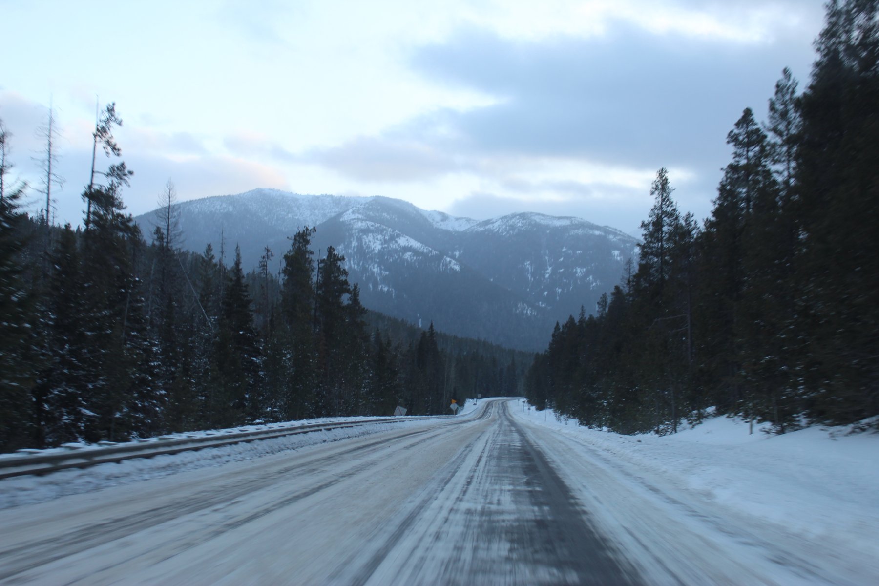
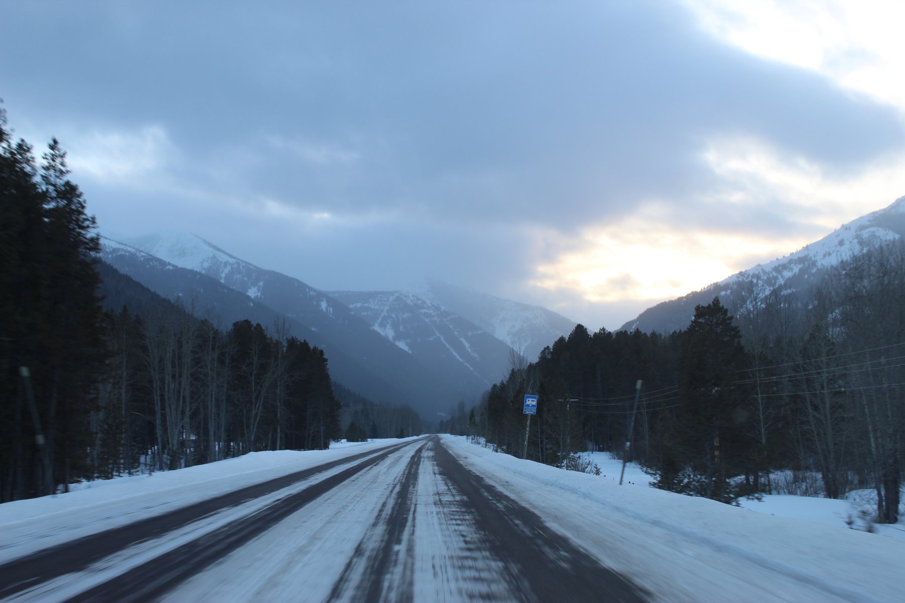
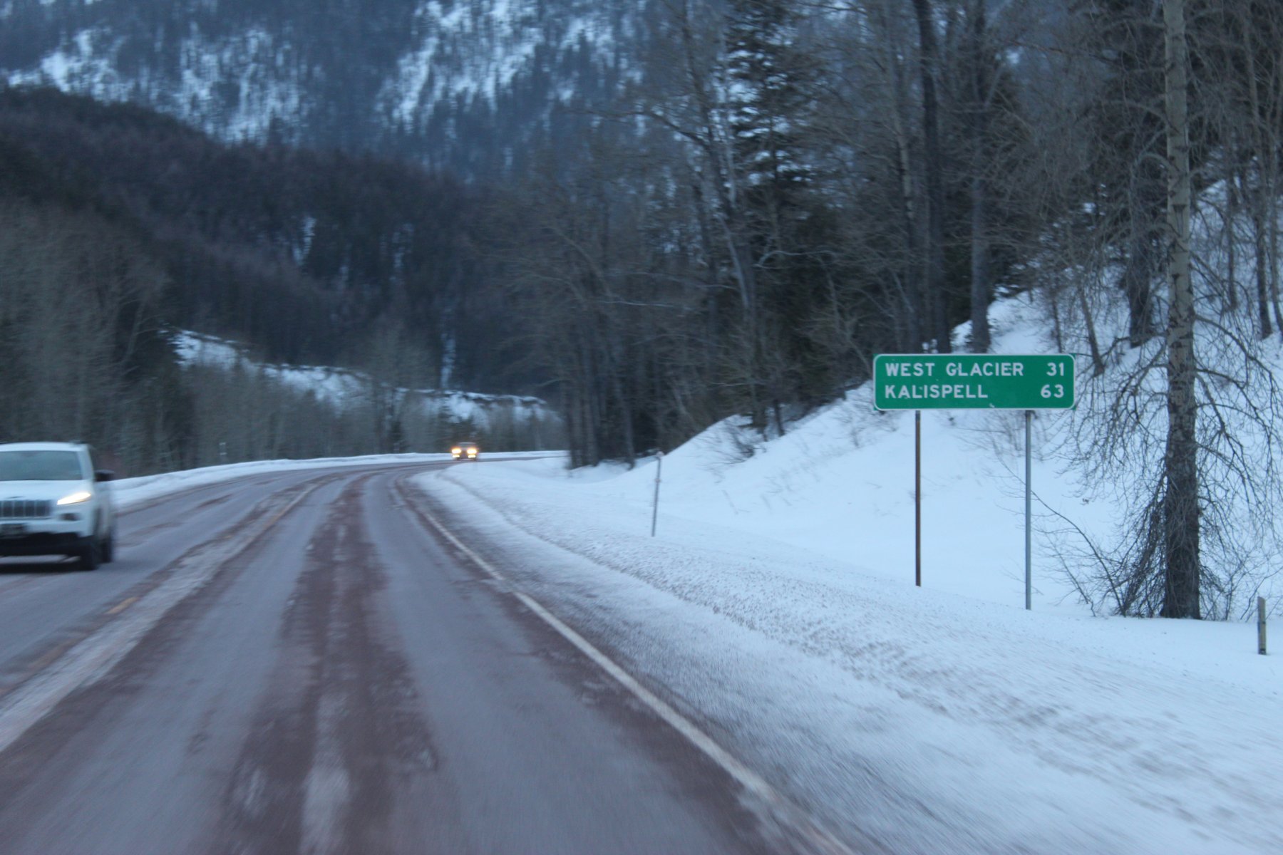
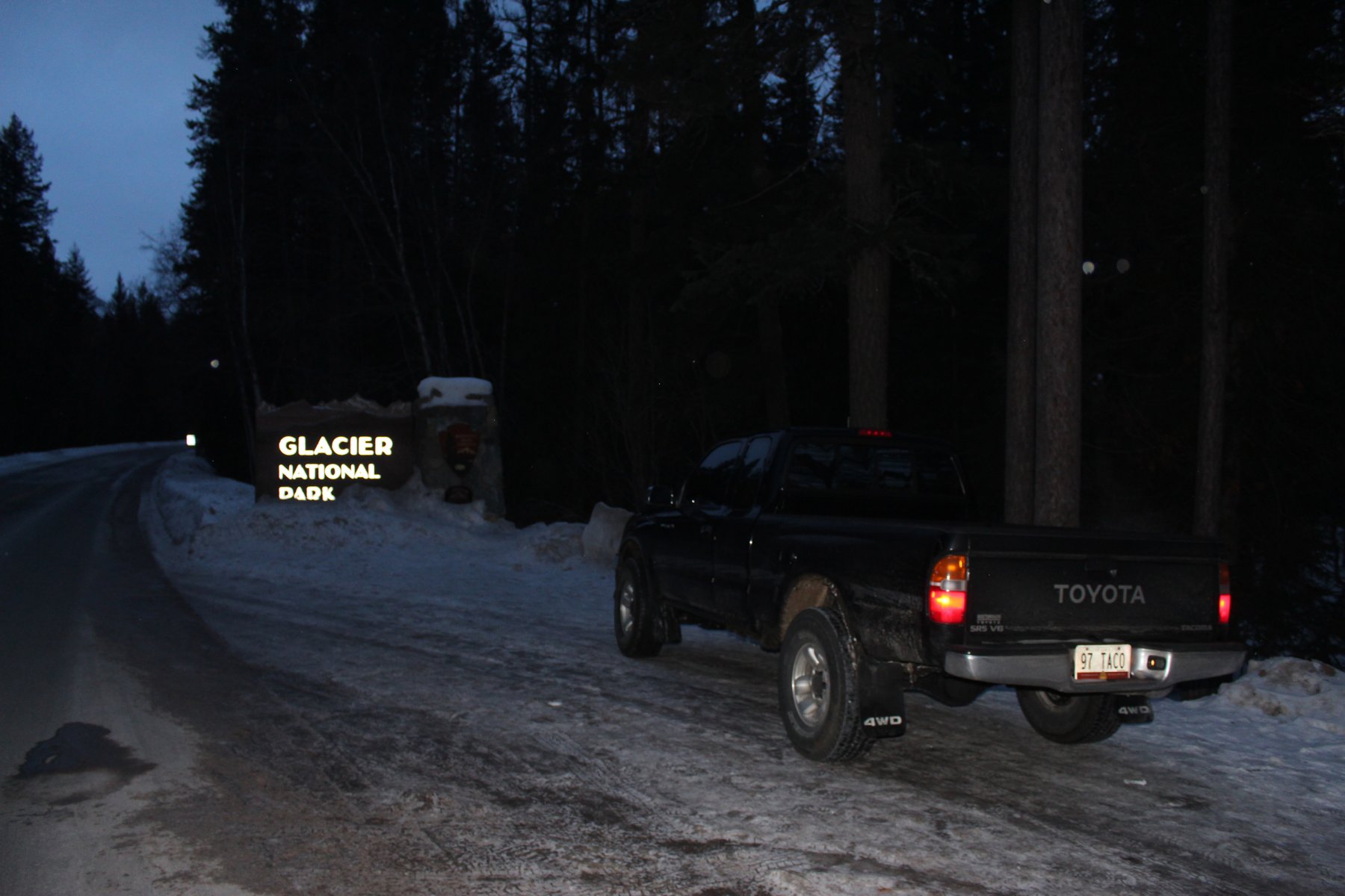
so i did not find my way back from the other side of the Montana mountains until 4am MST
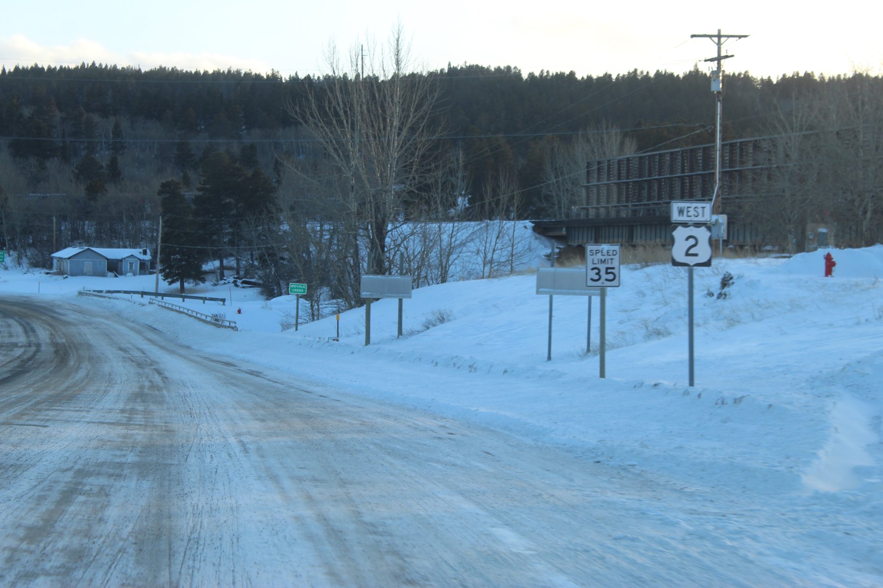
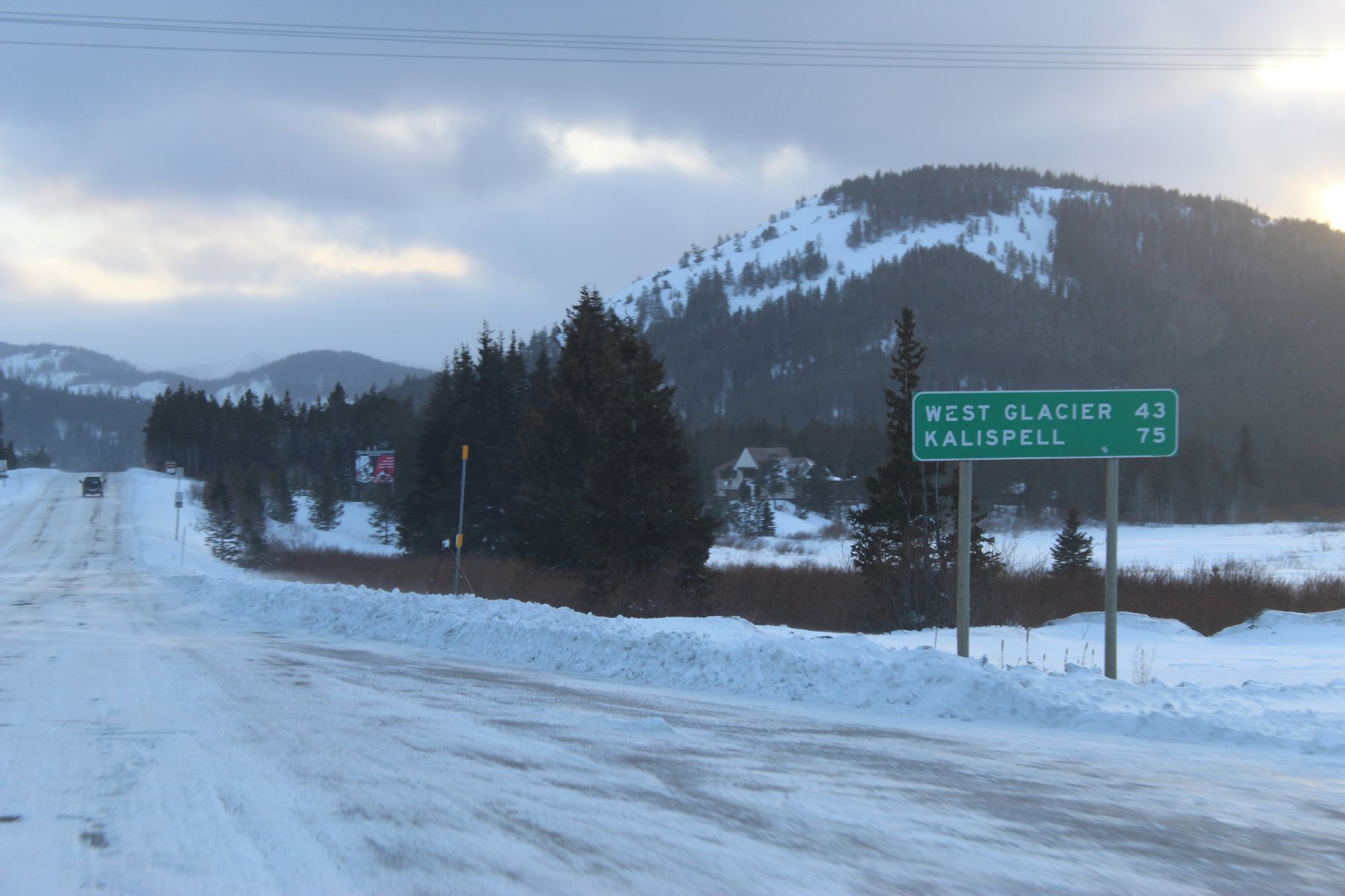
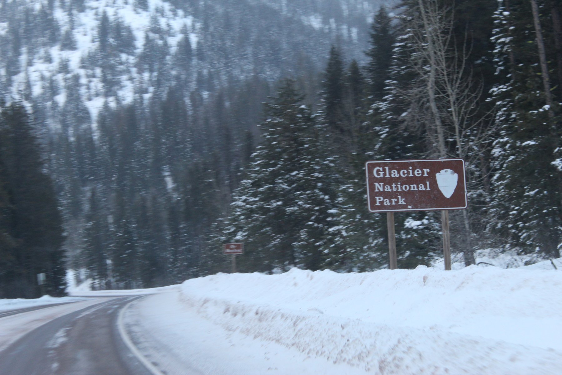
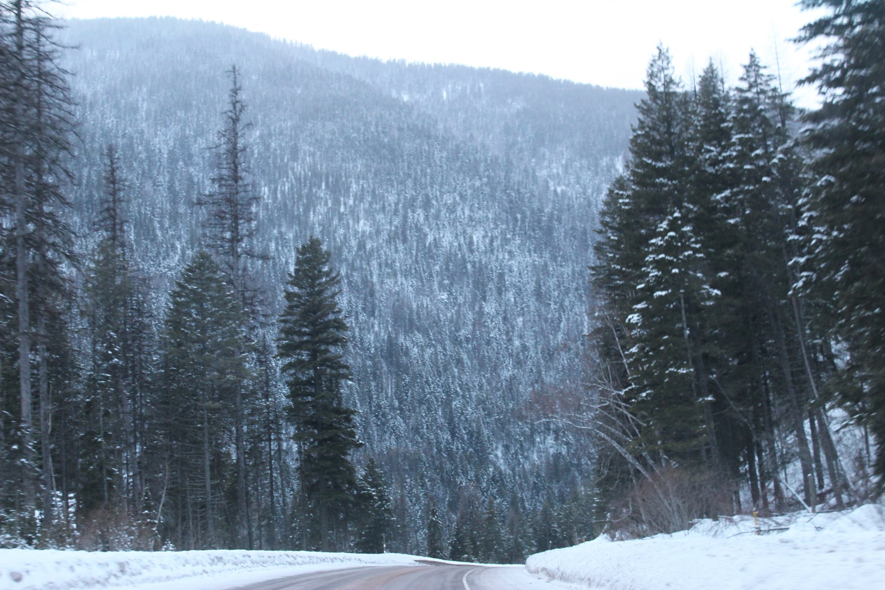
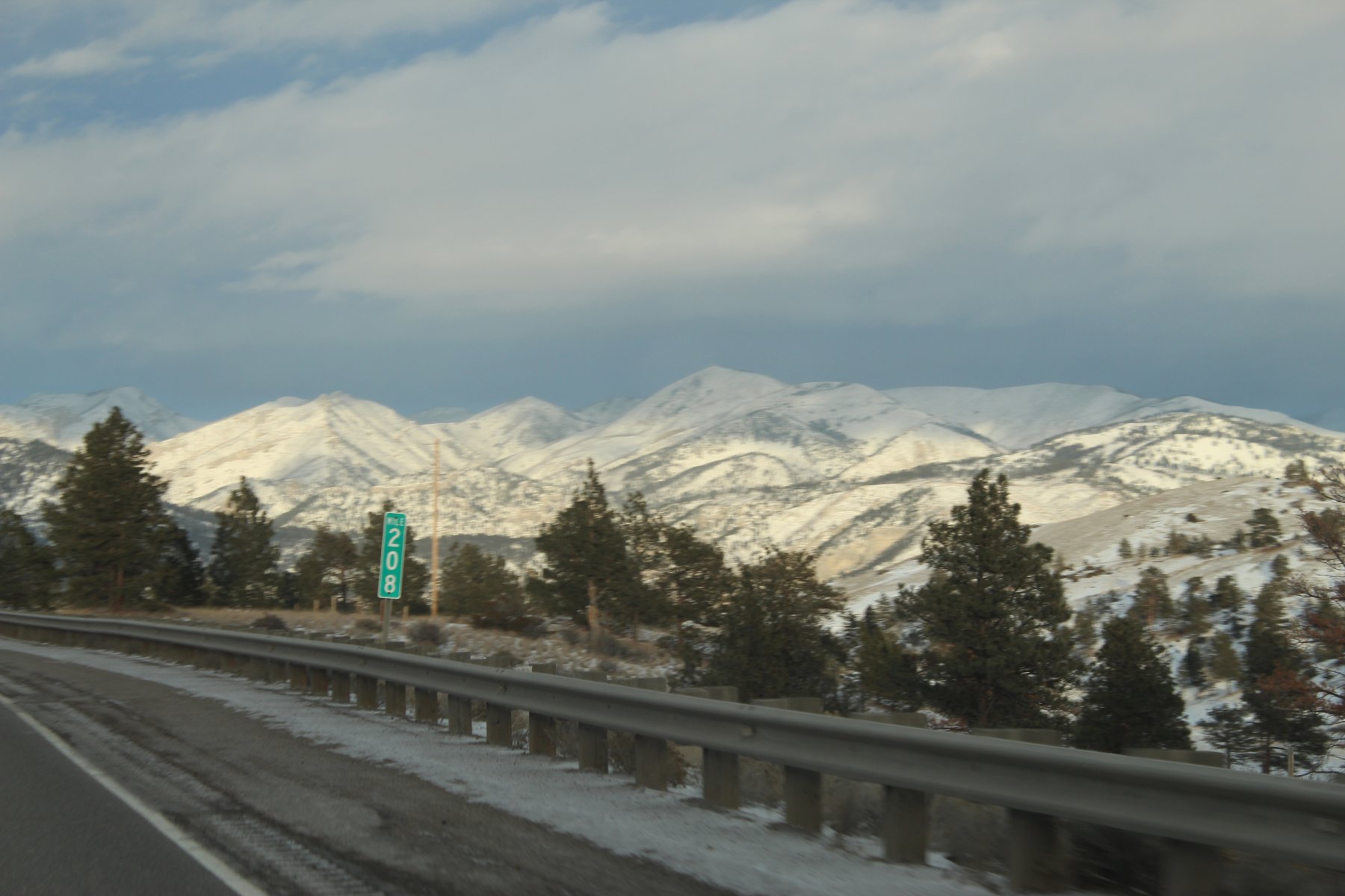
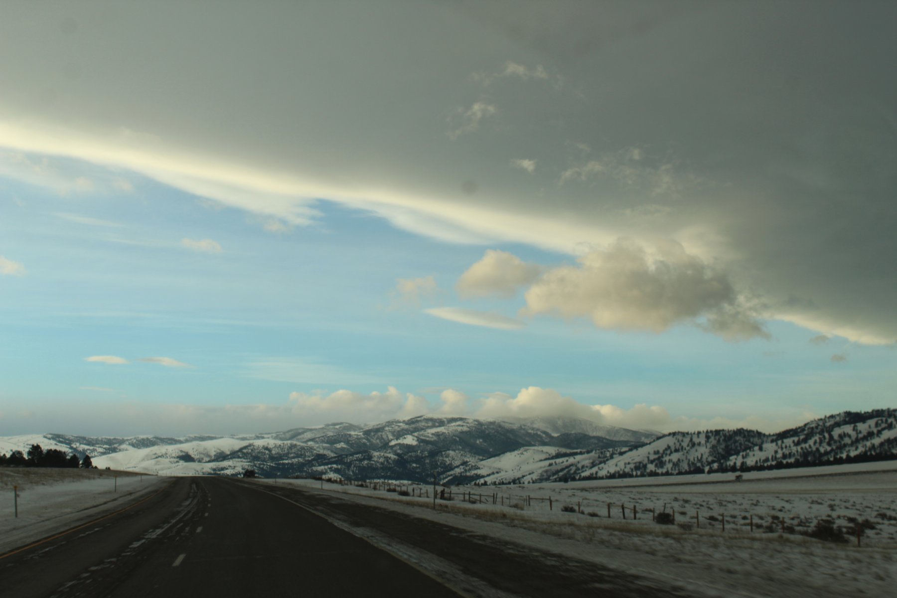
way too tired to make the long treK to the next stop in Lander Wyoming thru YellowStone NP ...staying another day in Great Falls and wheeling it down i15 to i90 to see the canyon i missed last evening, maybe I will see the elk again that made me stop on the freeway so they could all pass to the other side at near 15 below zero
need to juice up the taco somewhere on this road... found a sinClair dino station
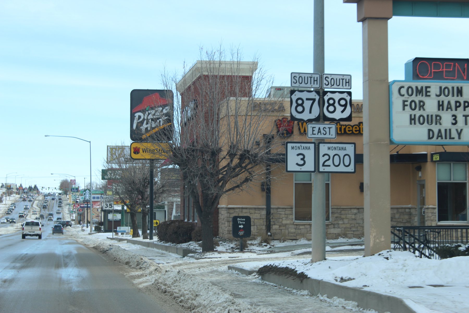
turn around and head on out
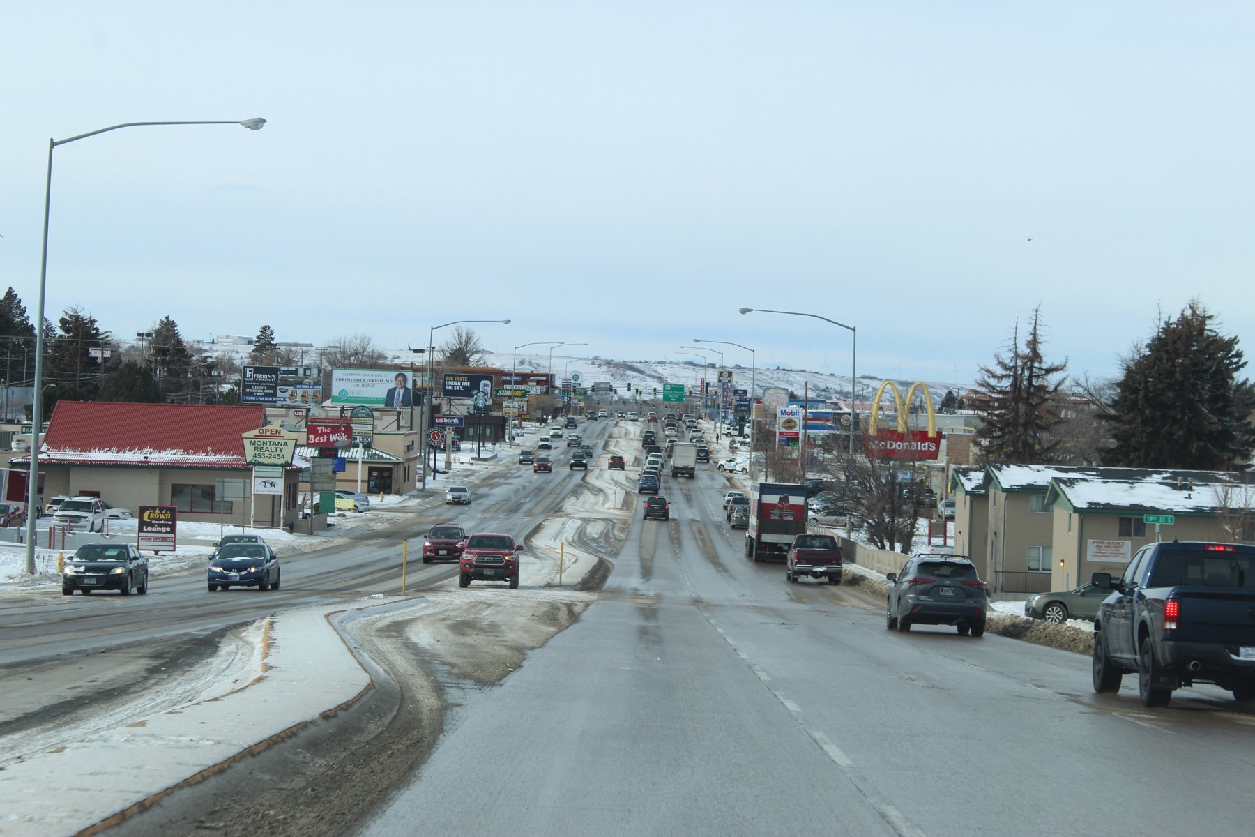
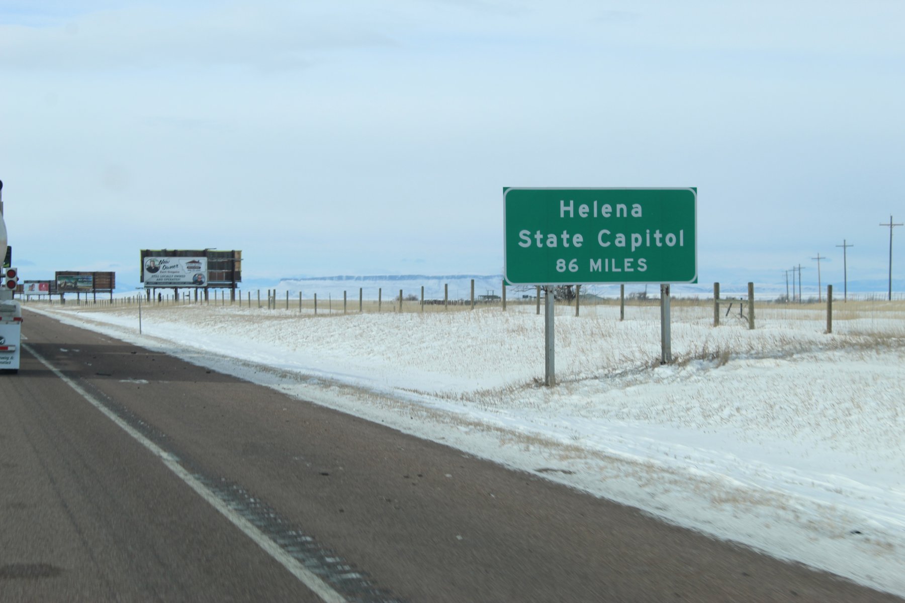
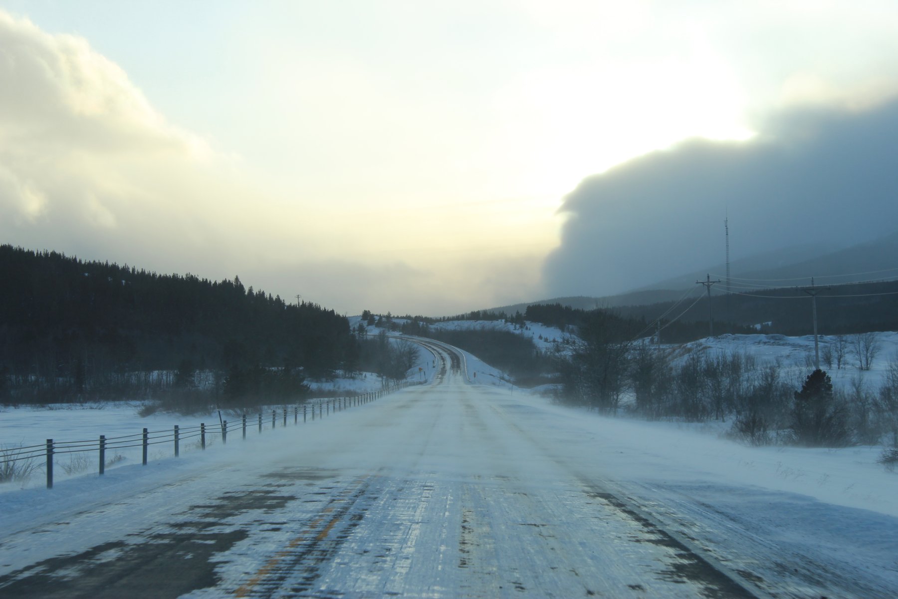
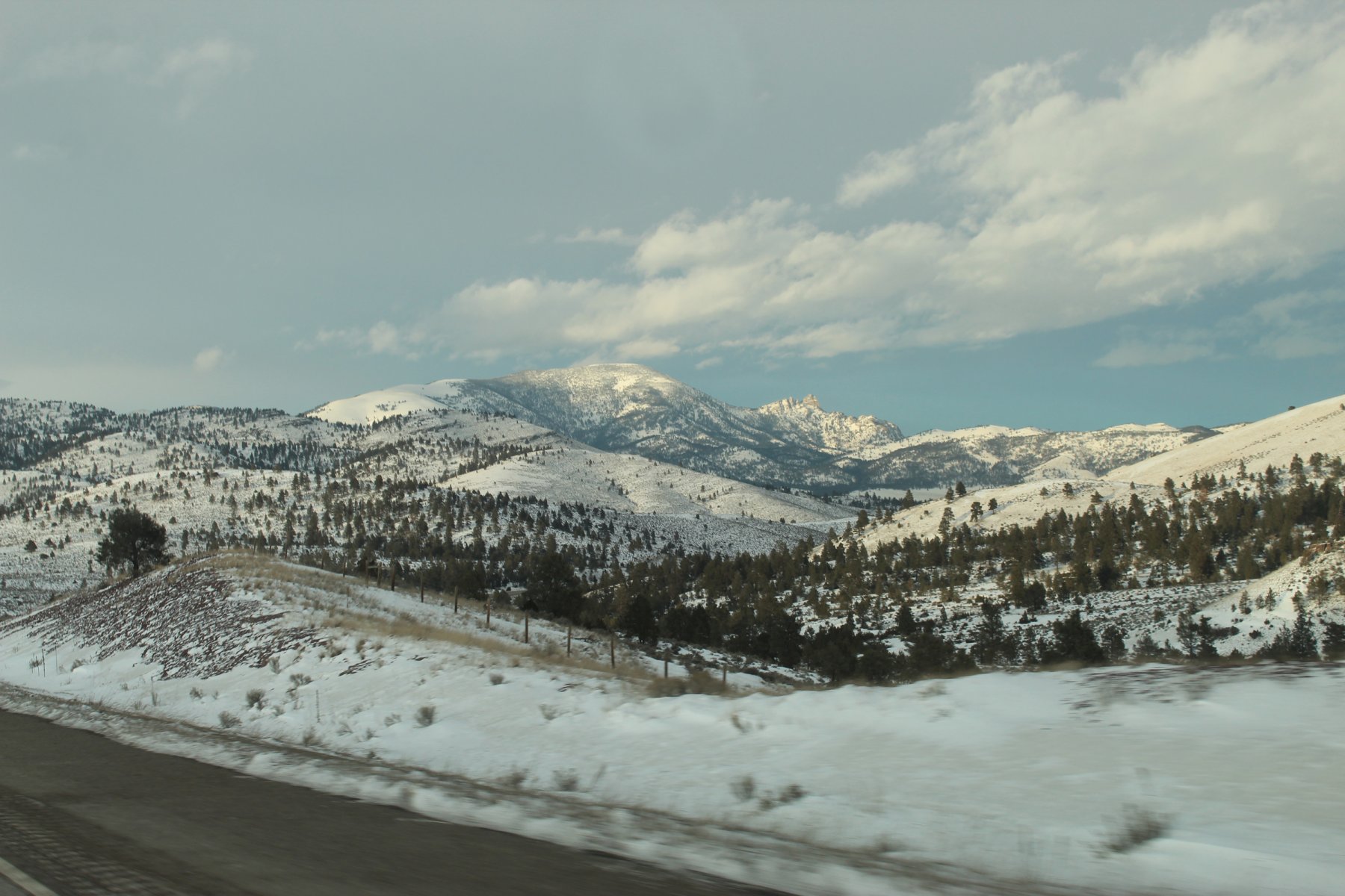
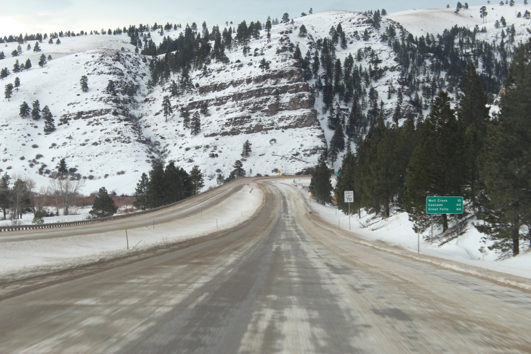
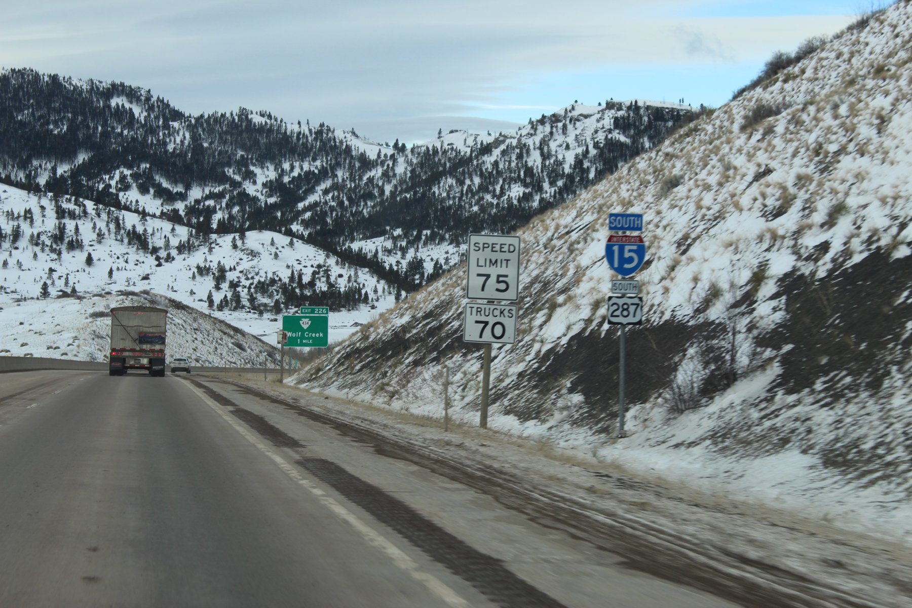
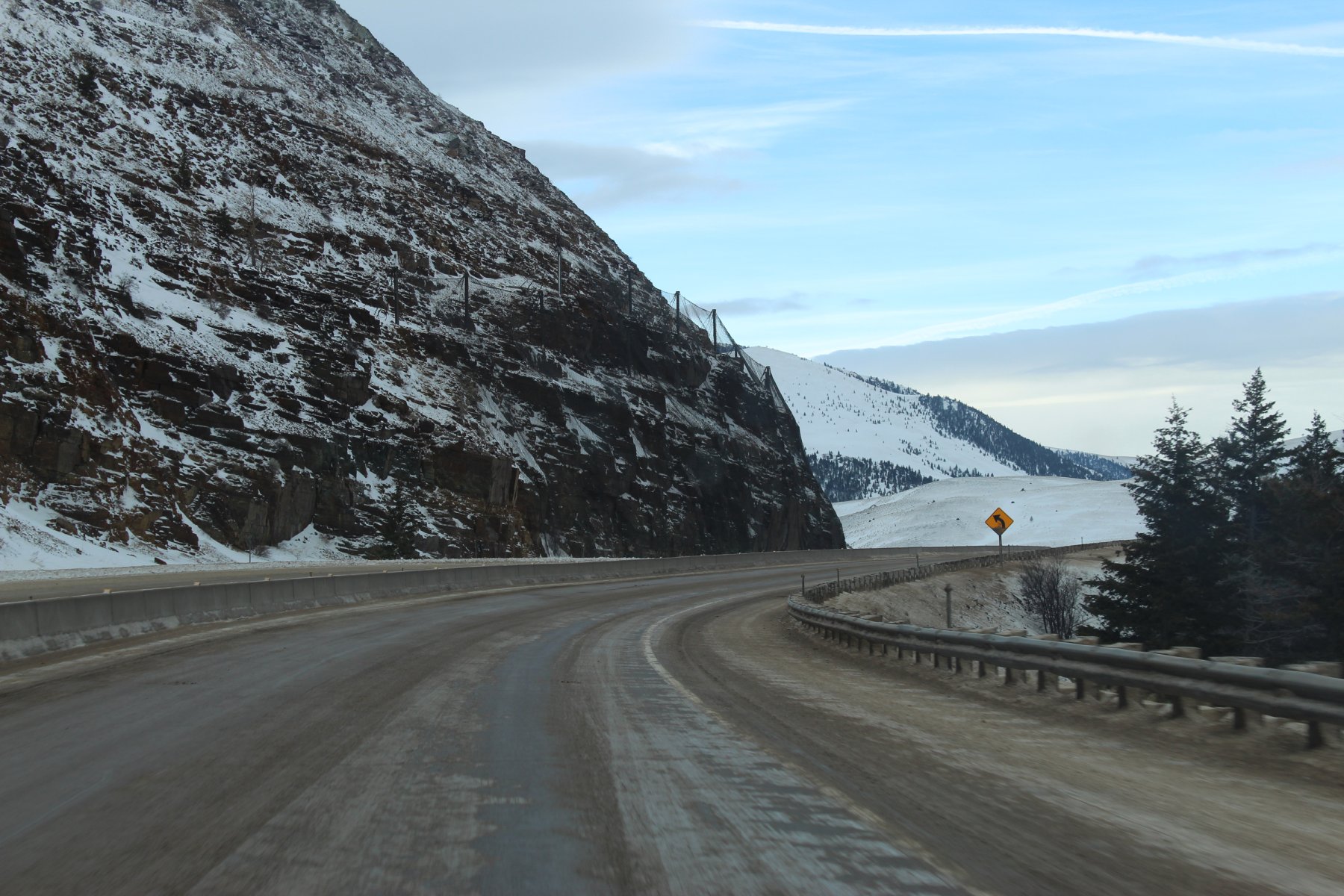
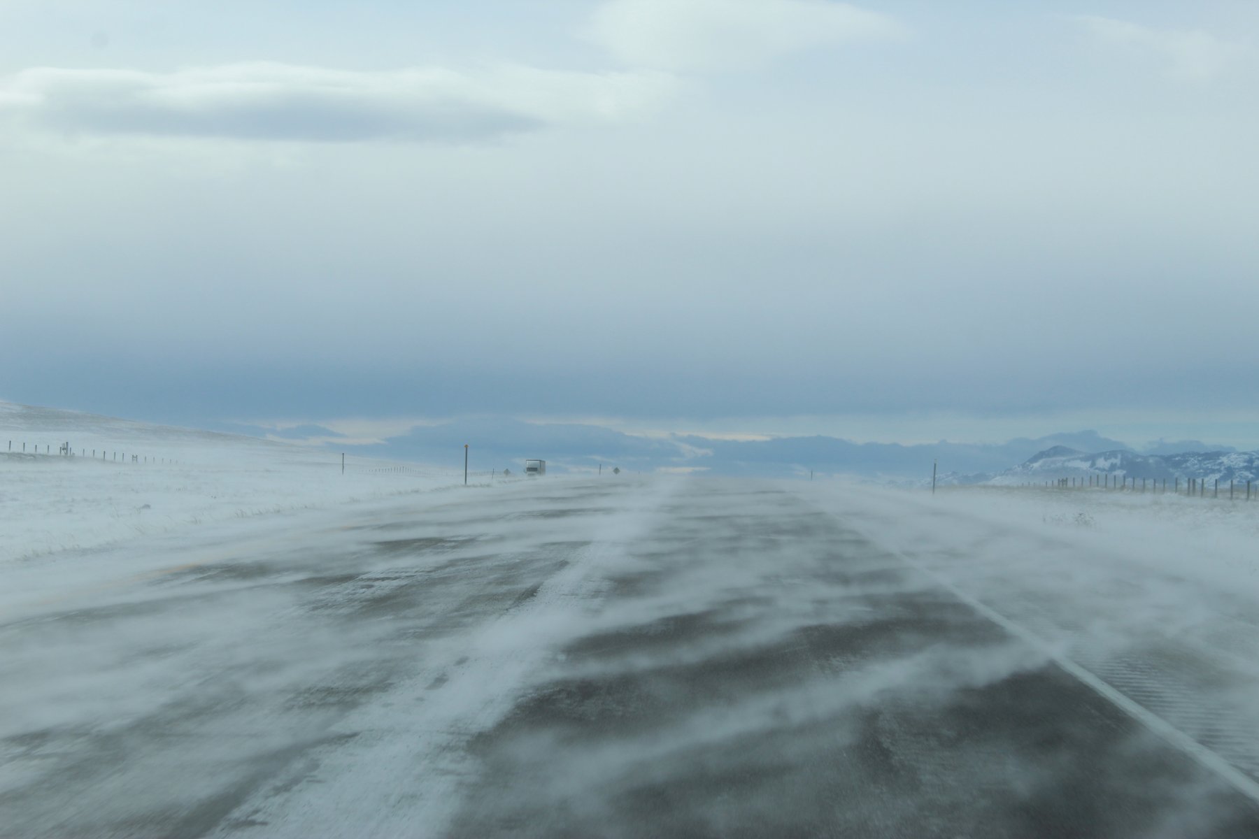
this blowing snow on i15
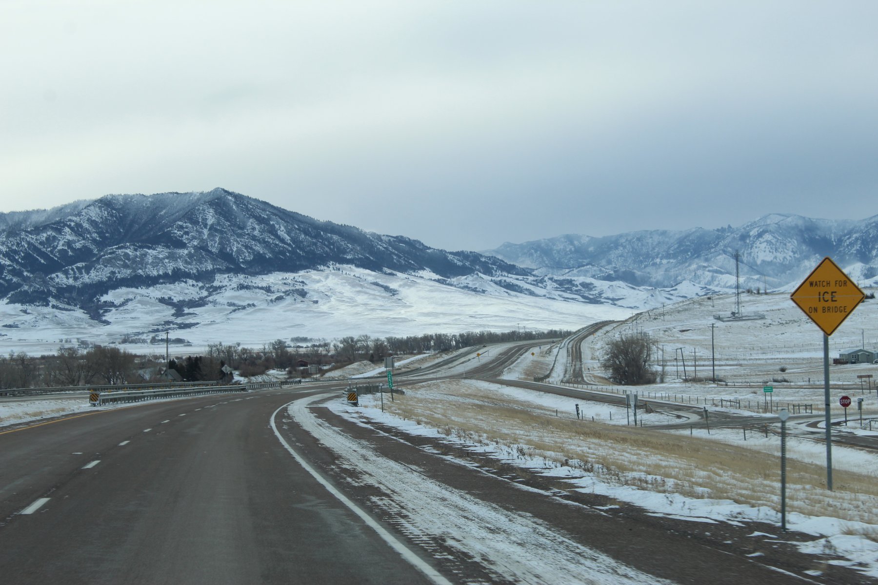
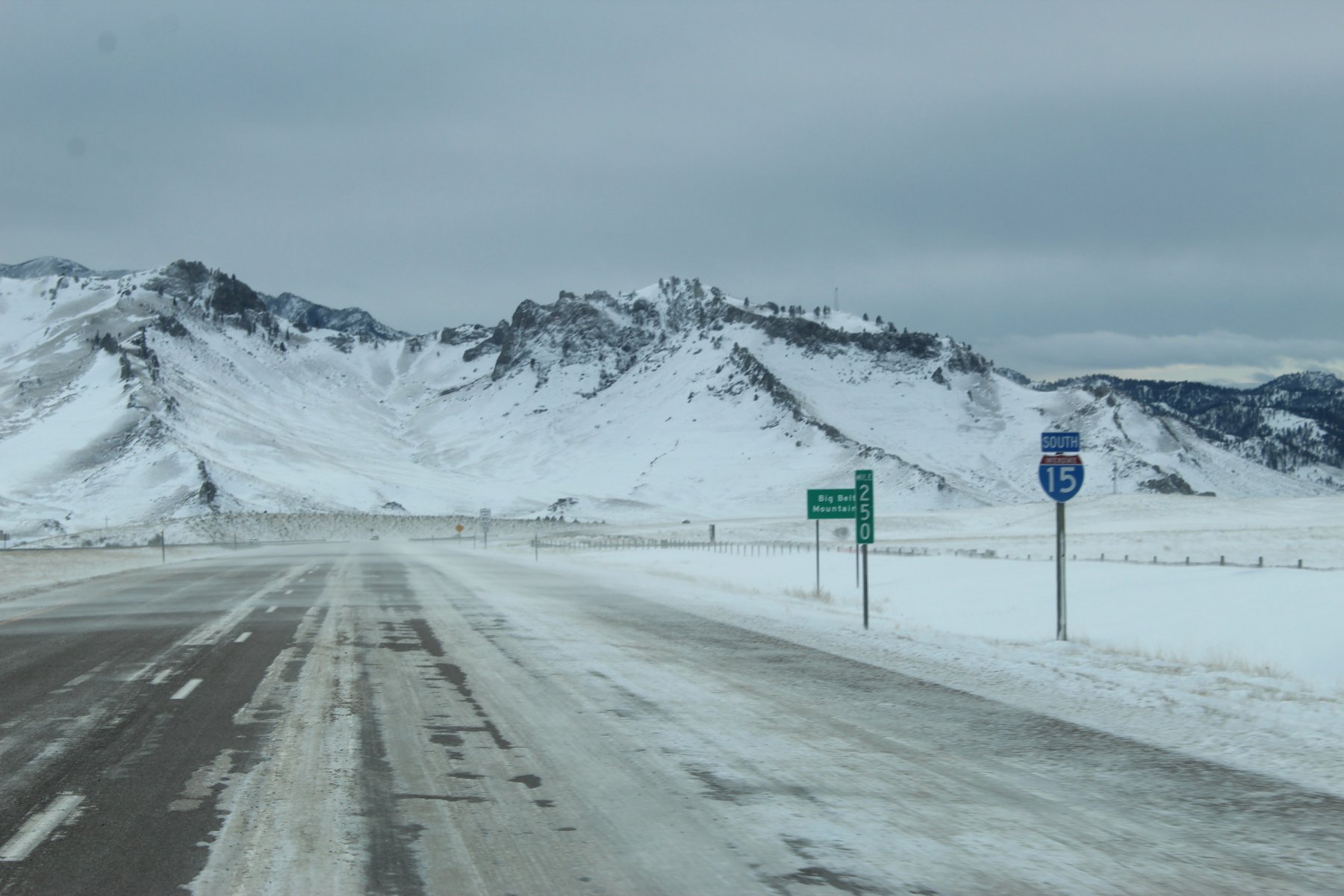
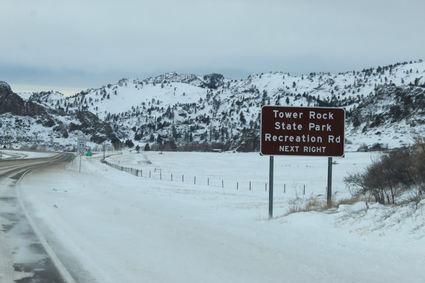
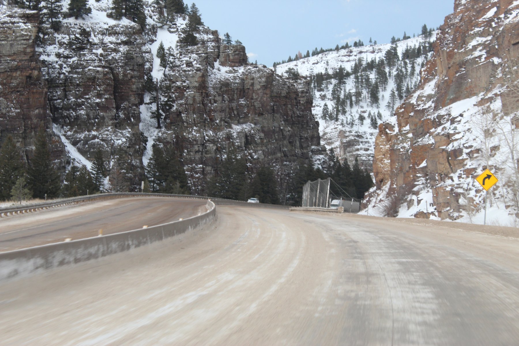
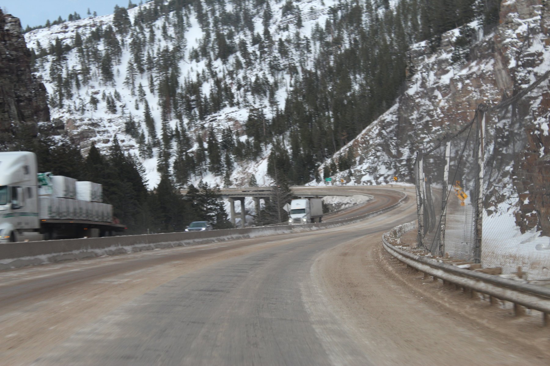
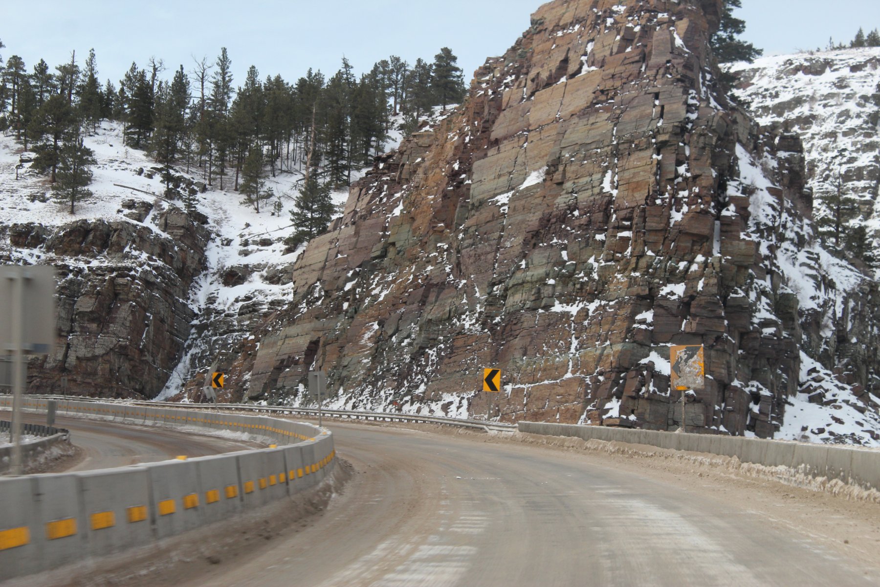
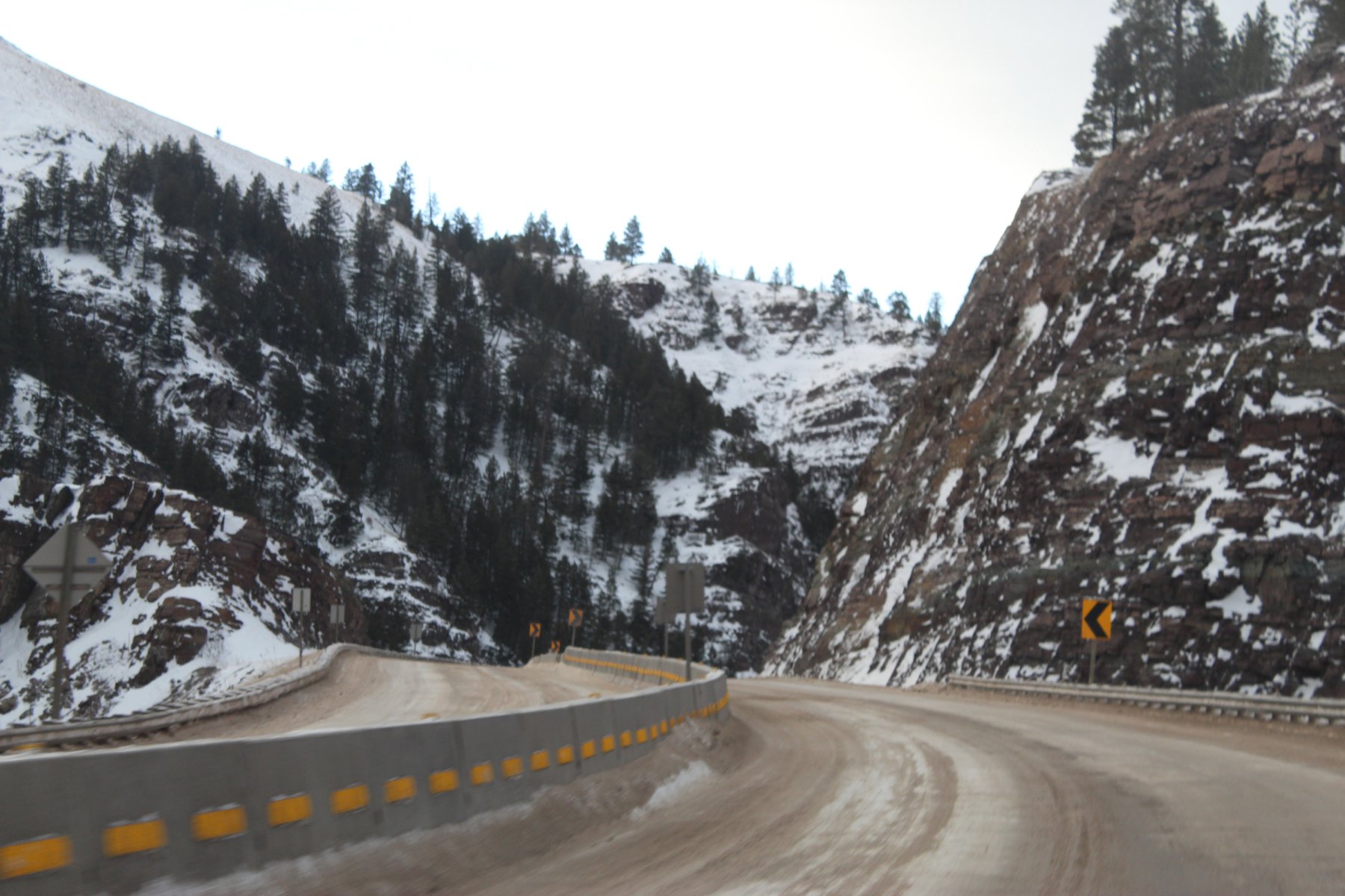
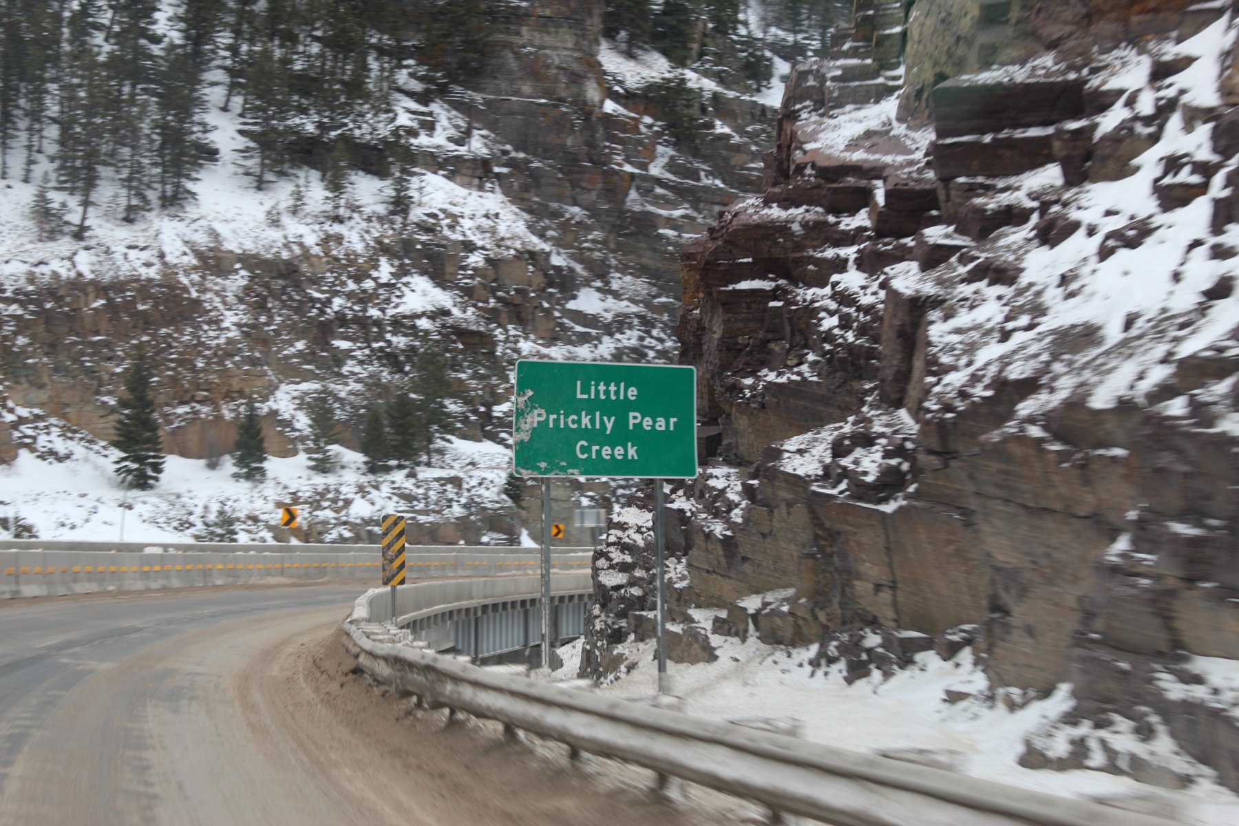
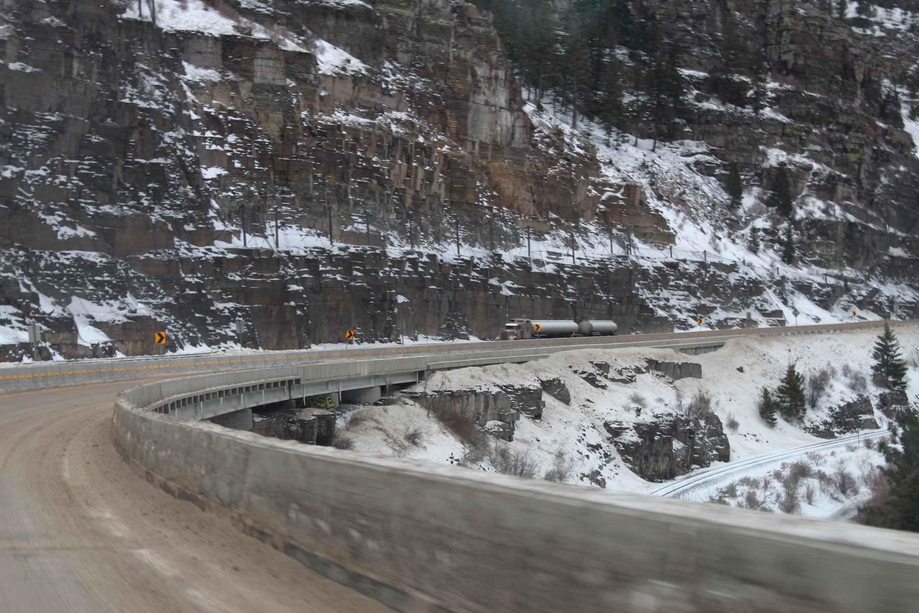
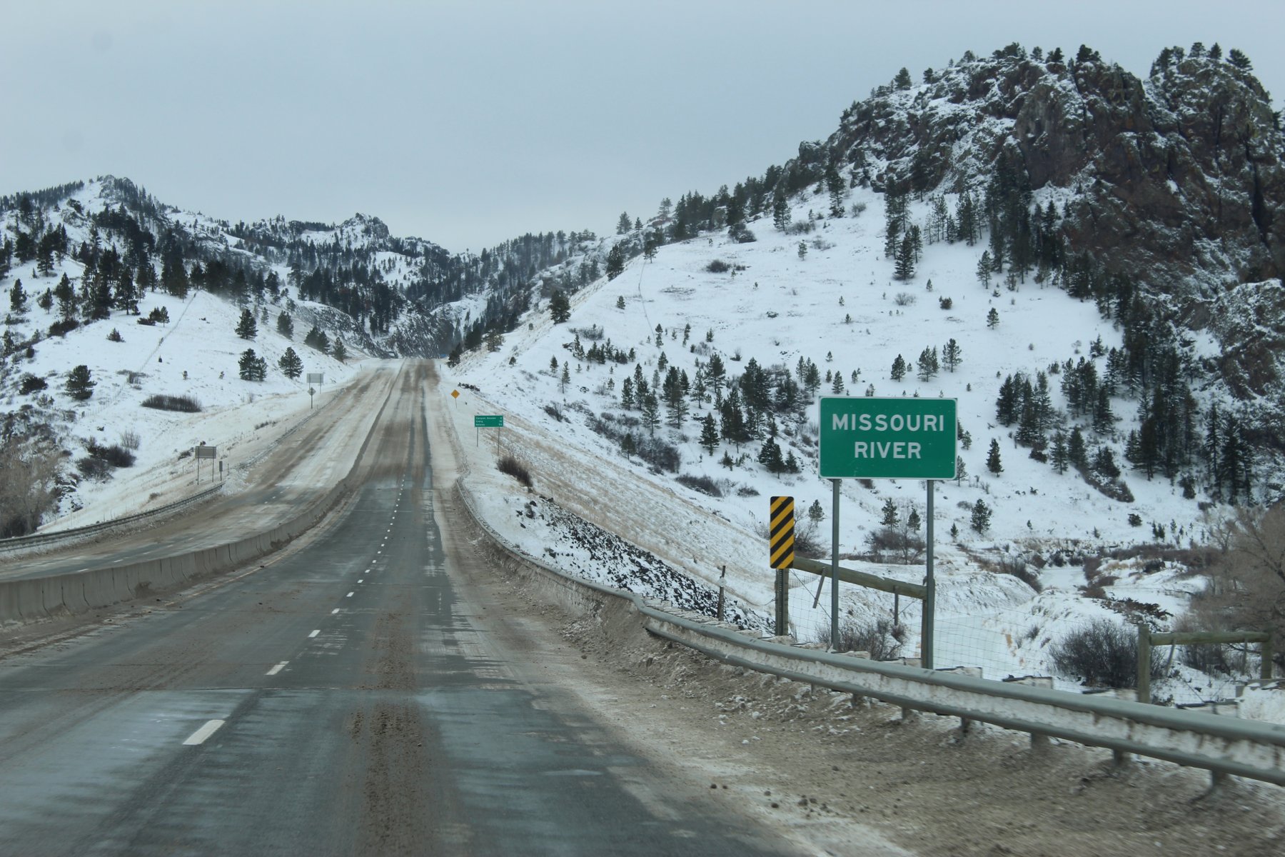
crossing the Missouri river on i15 in the Canyon between Great Falls and Helena
so i did not find my way back from the other side of the Montana mountains until 4am MST
way too tired to make the long treK to the next stop in Lander Wyoming thru YellowStone NP ...staying another day in Great Falls and wheeling it down i15 to i90 to see the canyon i missed last evening, maybe I will see the elk again that made me stop on the freeway so they could all pass to the other side at near 15 below zero

need to juice up the taco somewhere on this road... found a sinClair dino station

turn around and head on out


this blowing snow on i15


crossing the Missouri river on i15 in the Canyon between Great Falls and Helena

Last edited:
JayQQ97
MW surVivor ... clutched. 368k on the 0D0
Last edited:
JayQQ97
MW surVivor ... clutched. 368k on the 0D0
Day 11:
a 351 mile adventure on I-15 down to I-90 and back yesterday through the canyon and Missouri River crossing and scenic drive in the park... a bit dark out on that drive so no pictures were had
...need more tacoJuice!
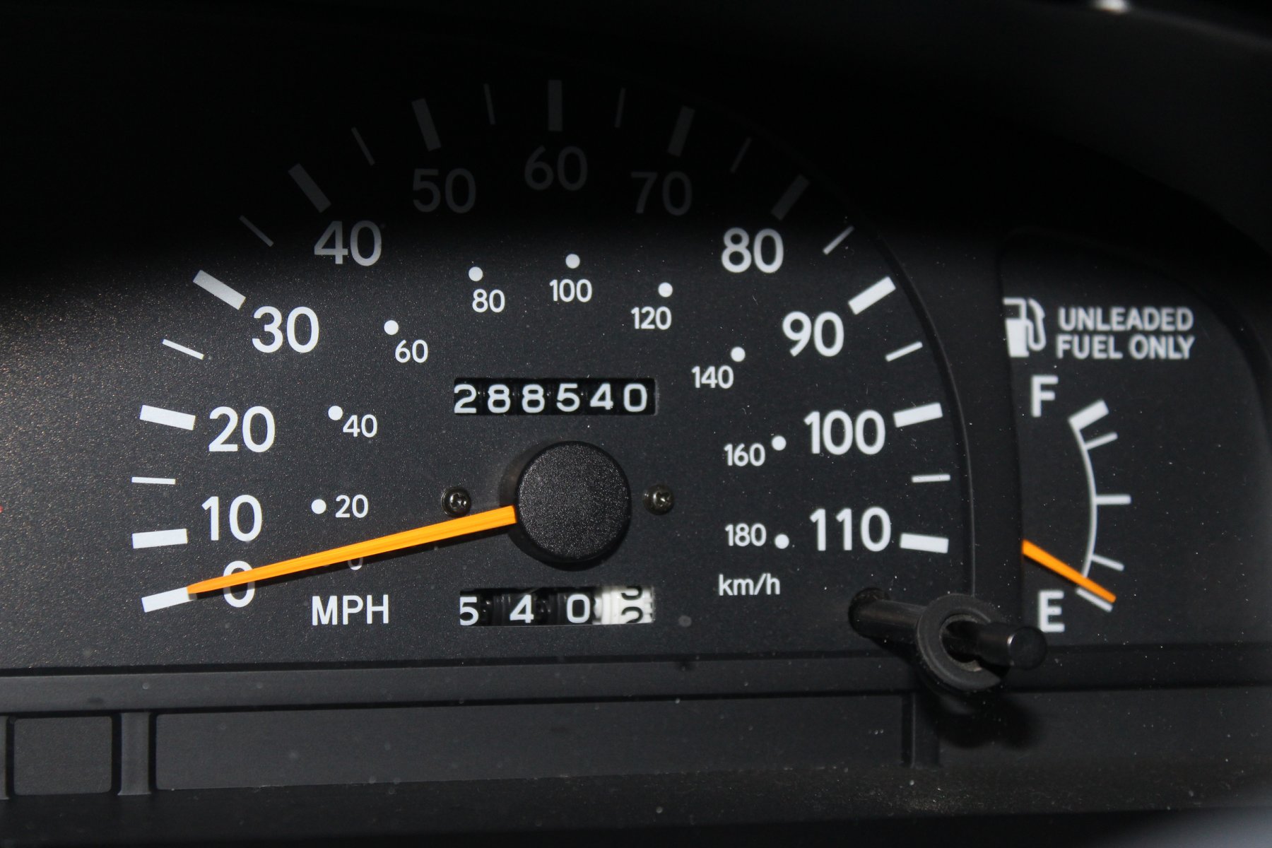
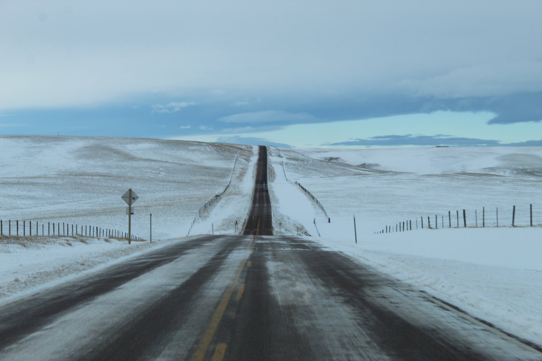
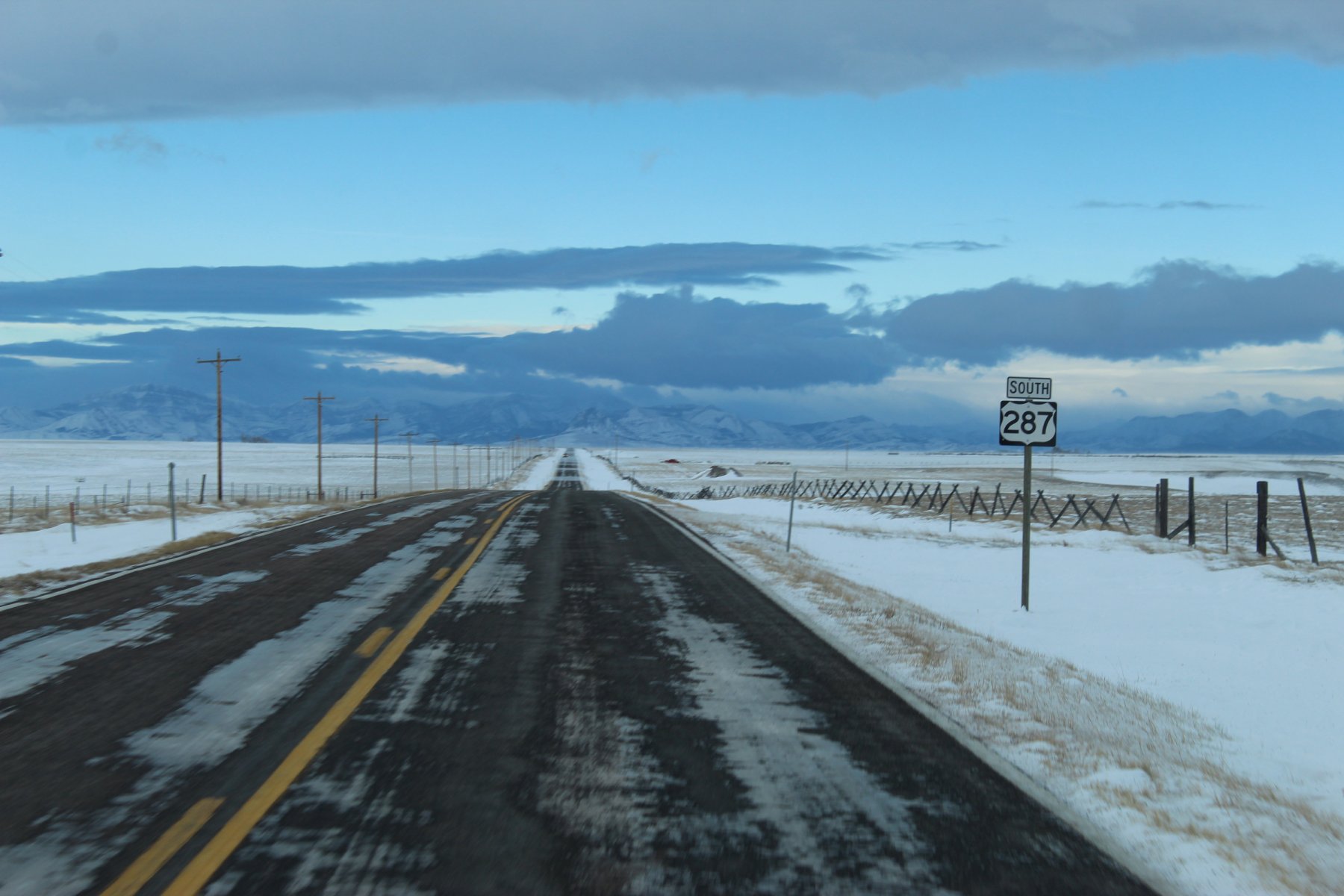
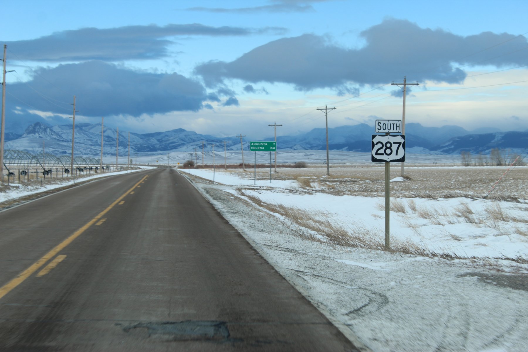
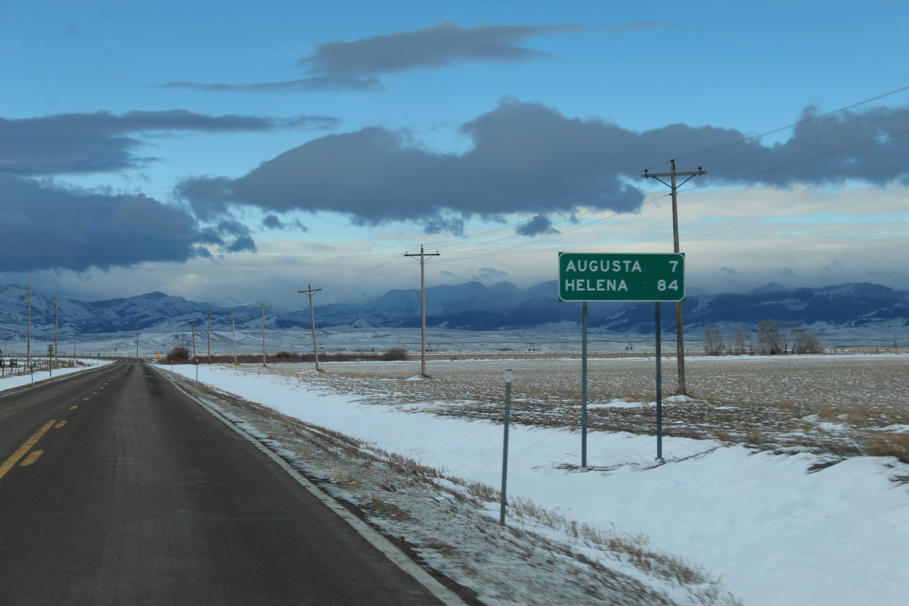
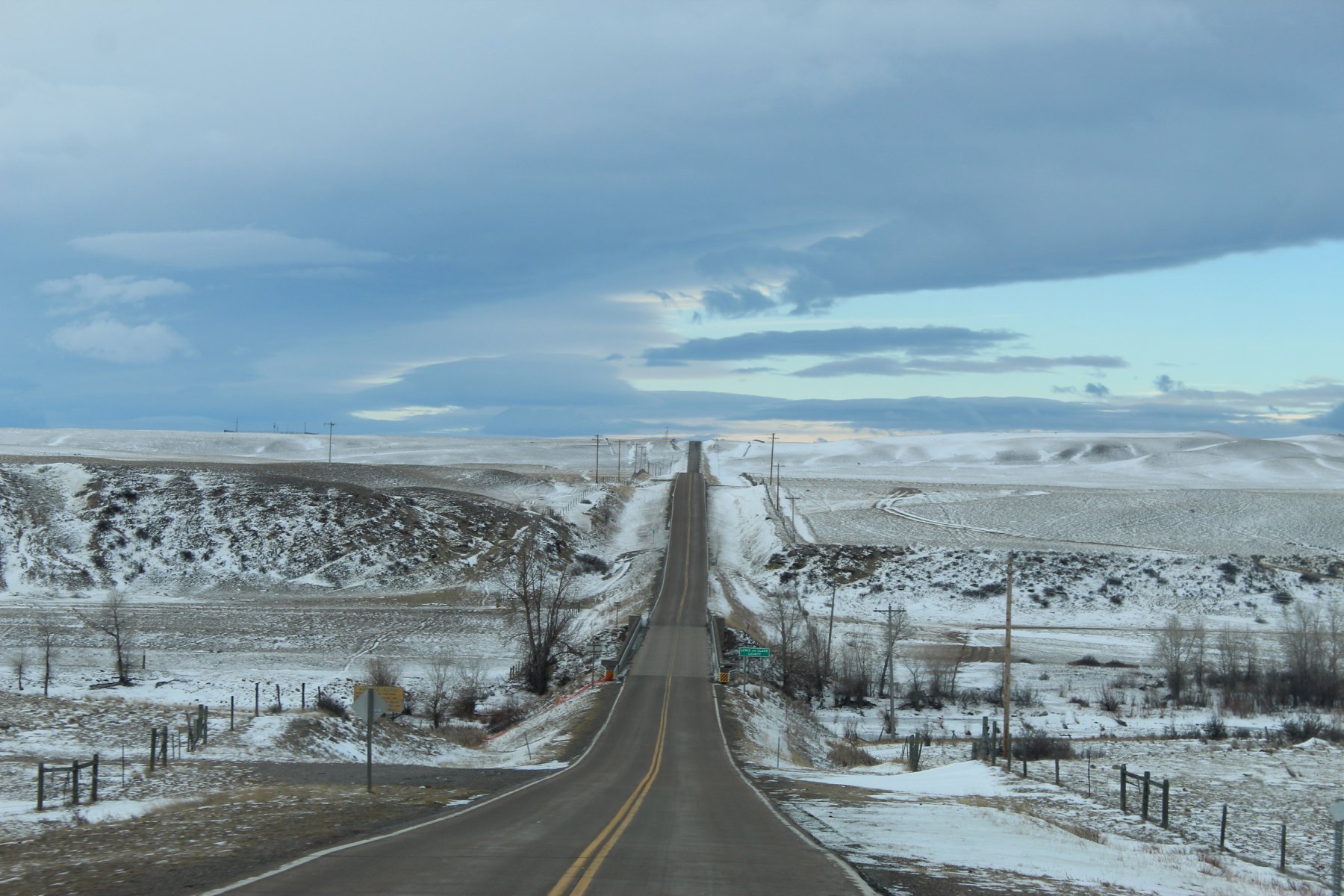
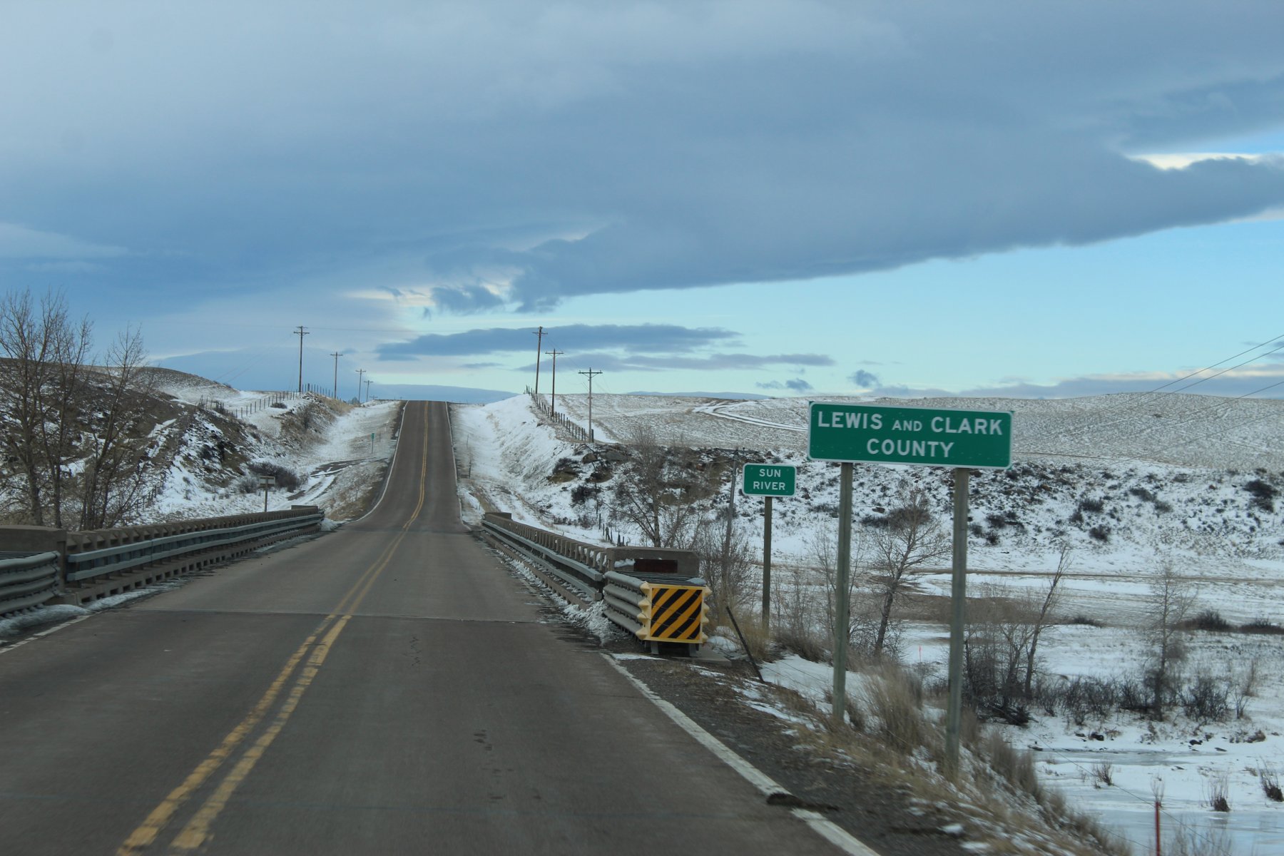
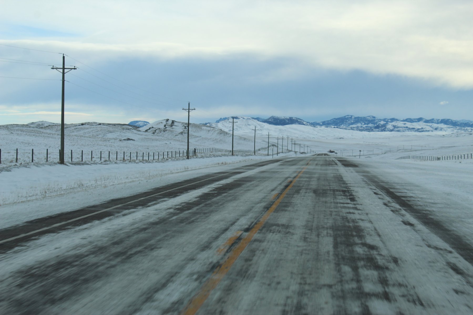
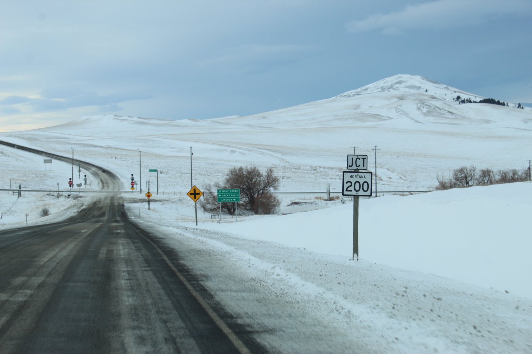
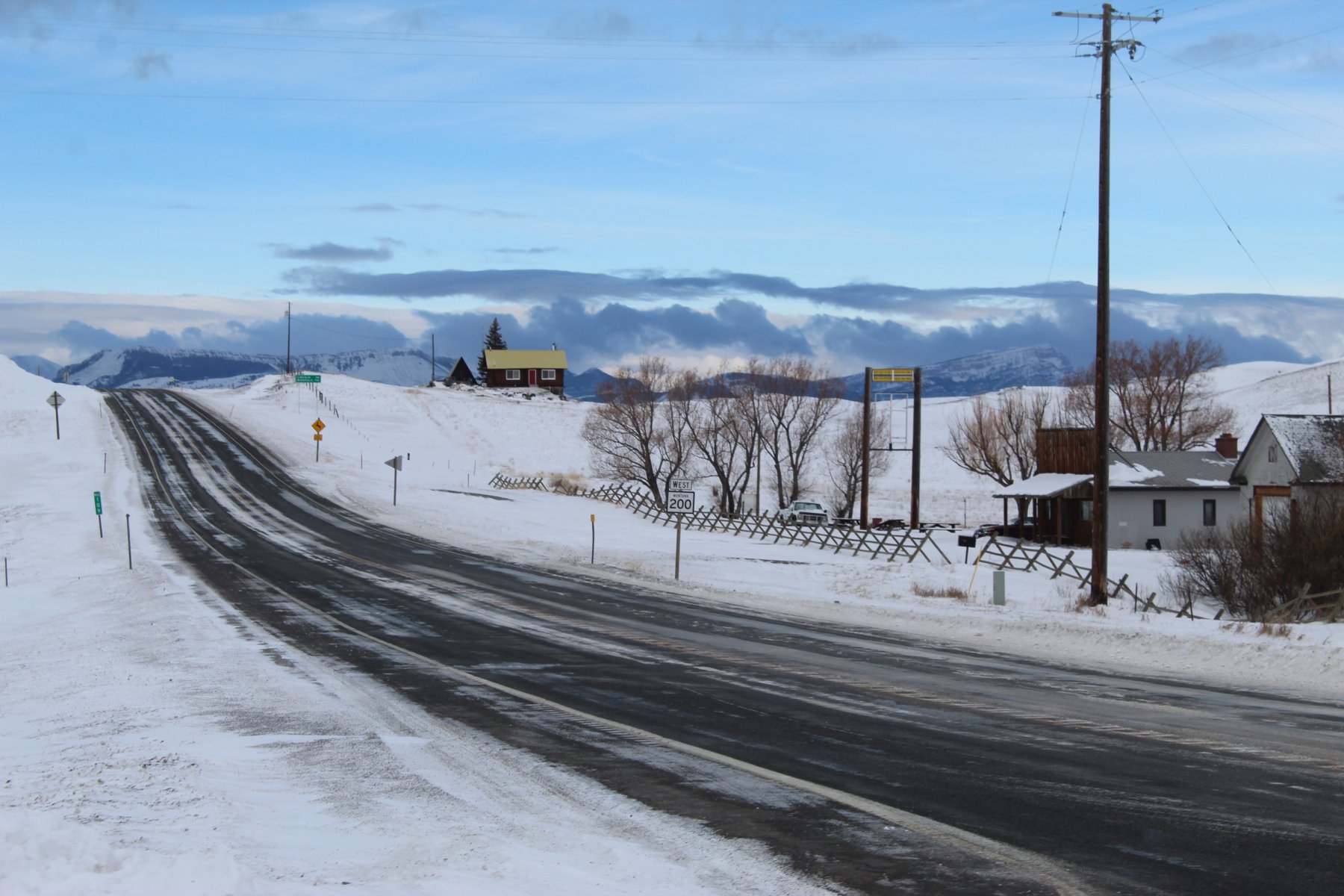
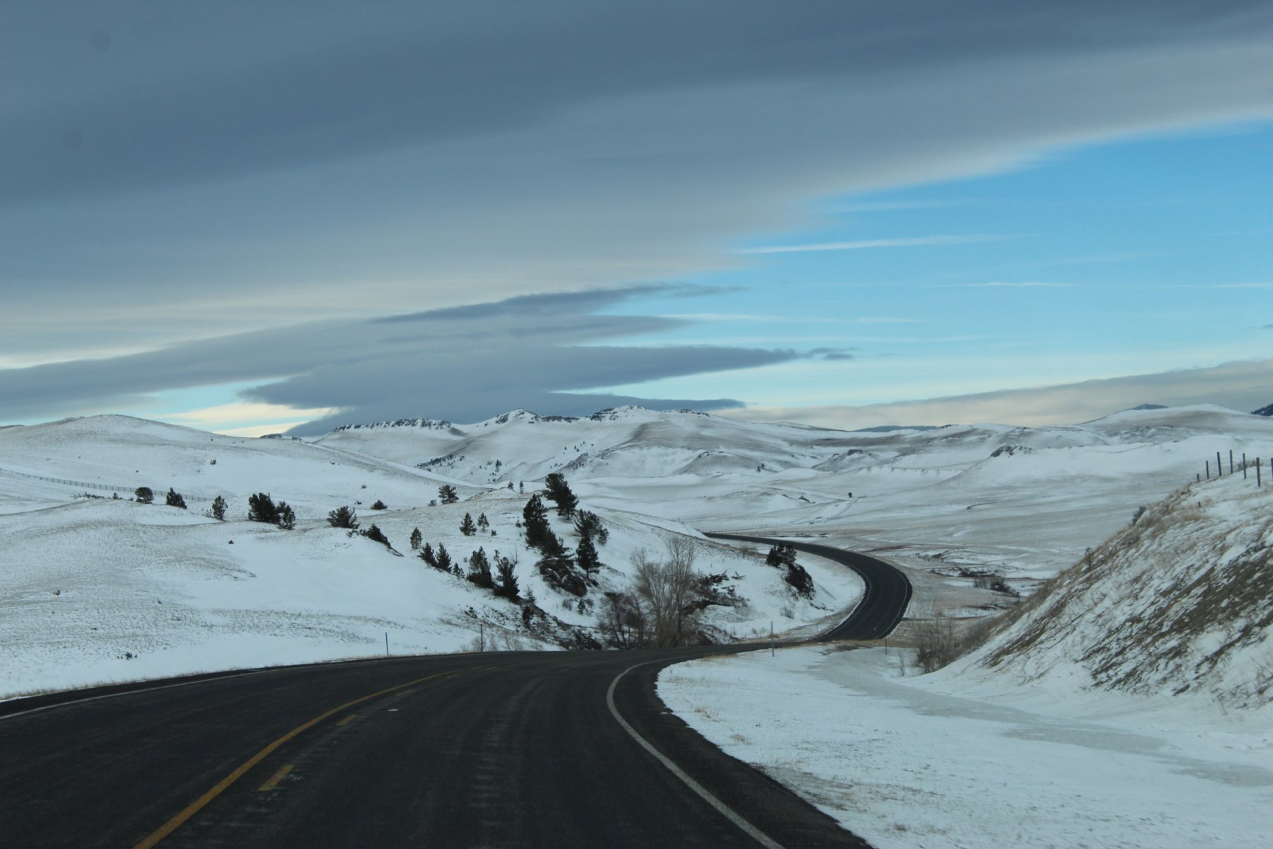
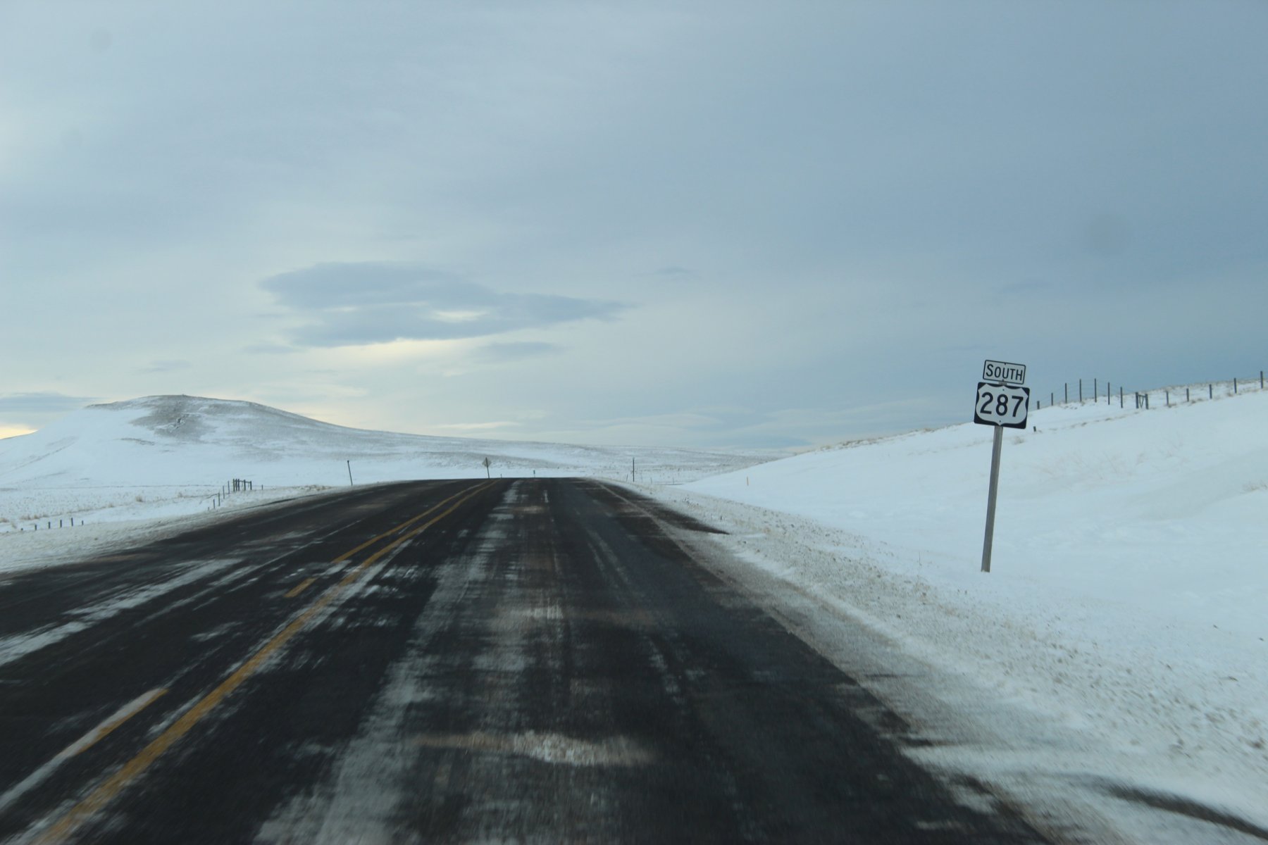
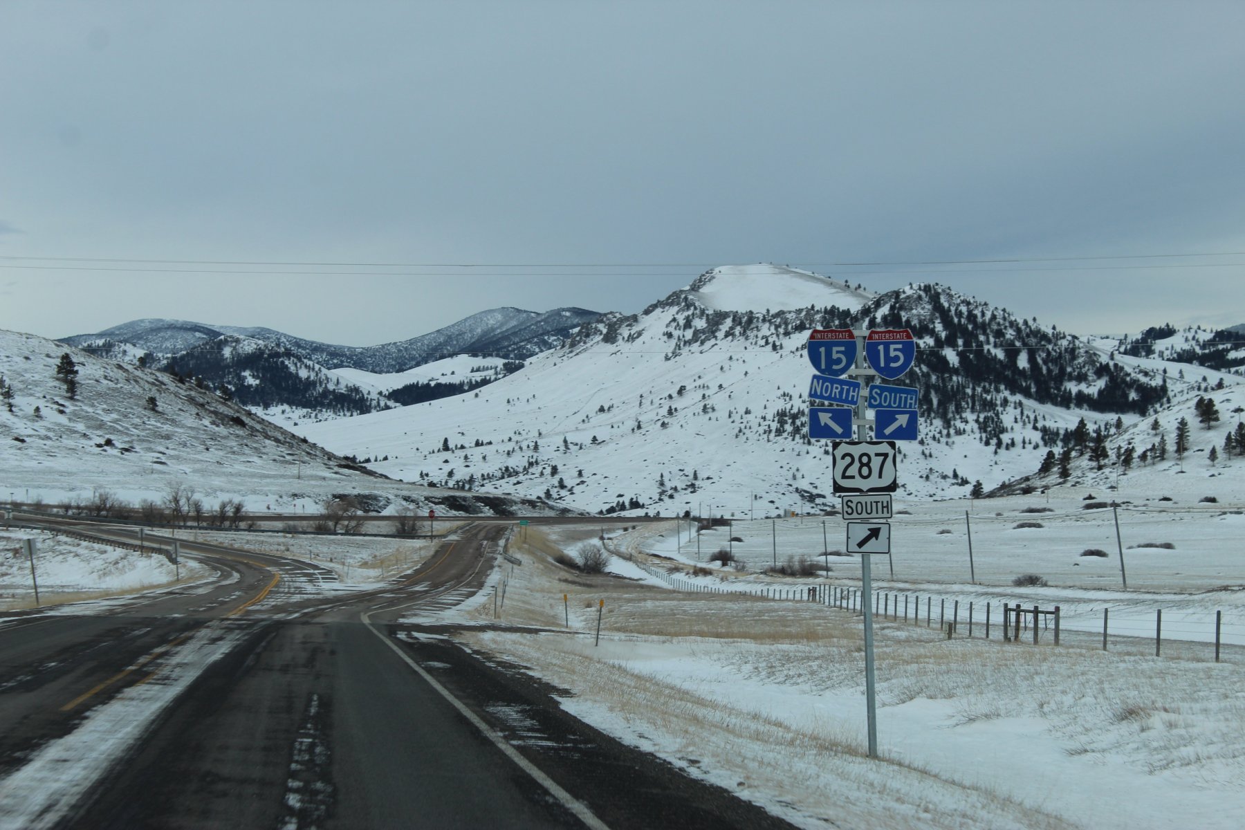
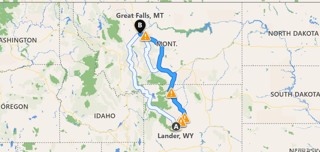
ready to head to Lander Wyoming down US-287 where it starts in Choteau Montana, a bit north and west of Great Falls
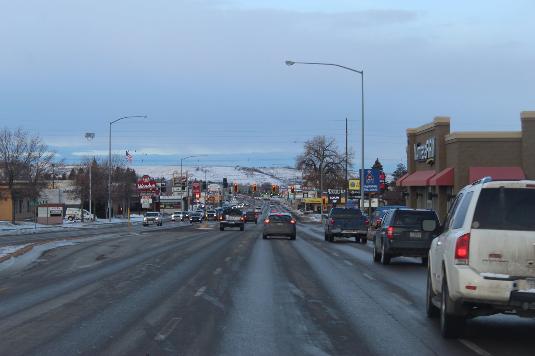
heading north on US-89/i15
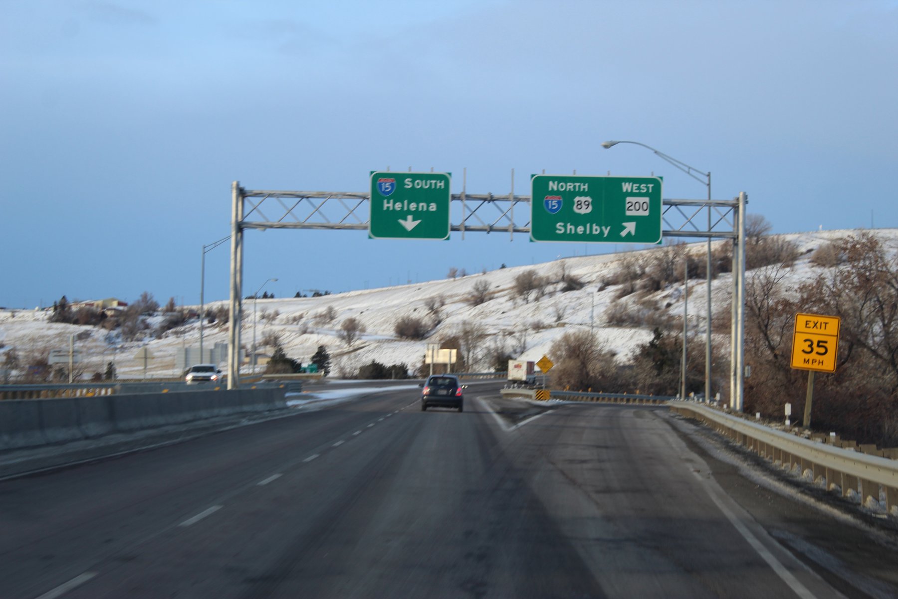
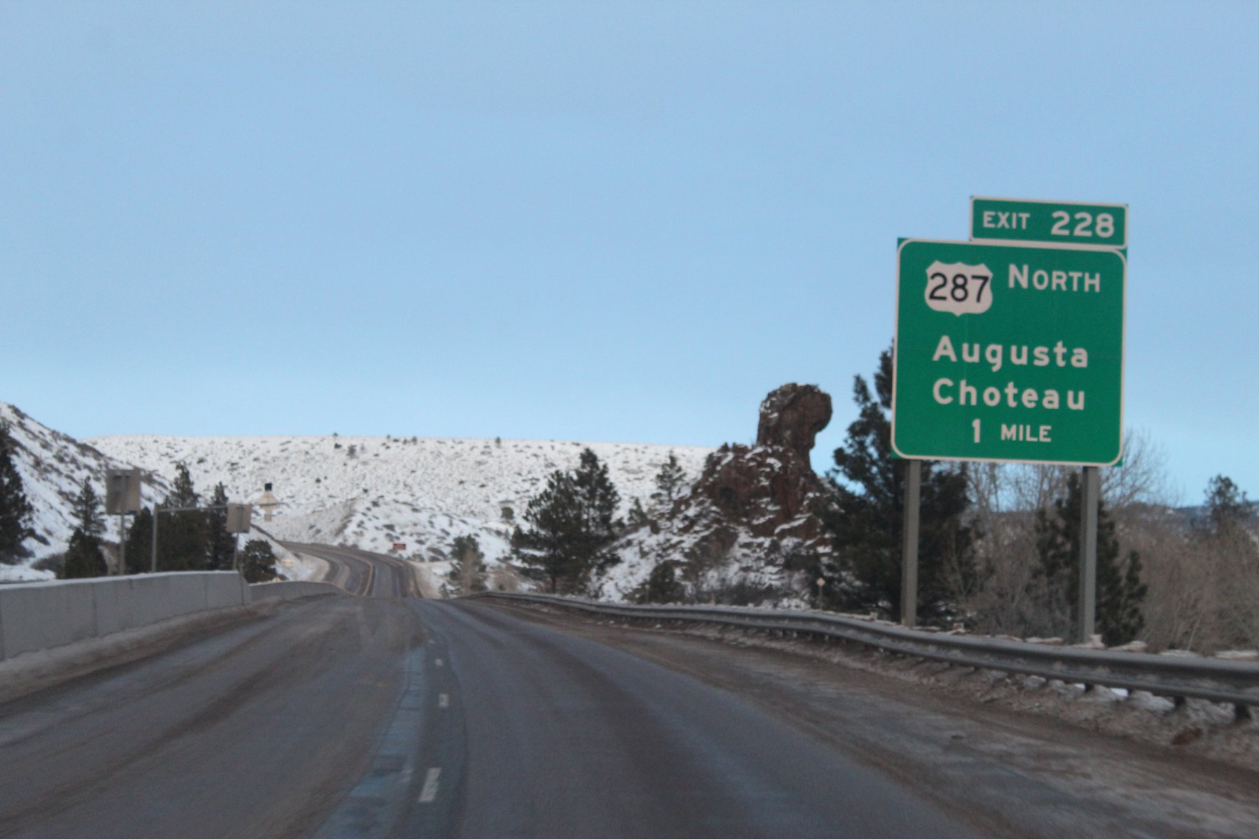
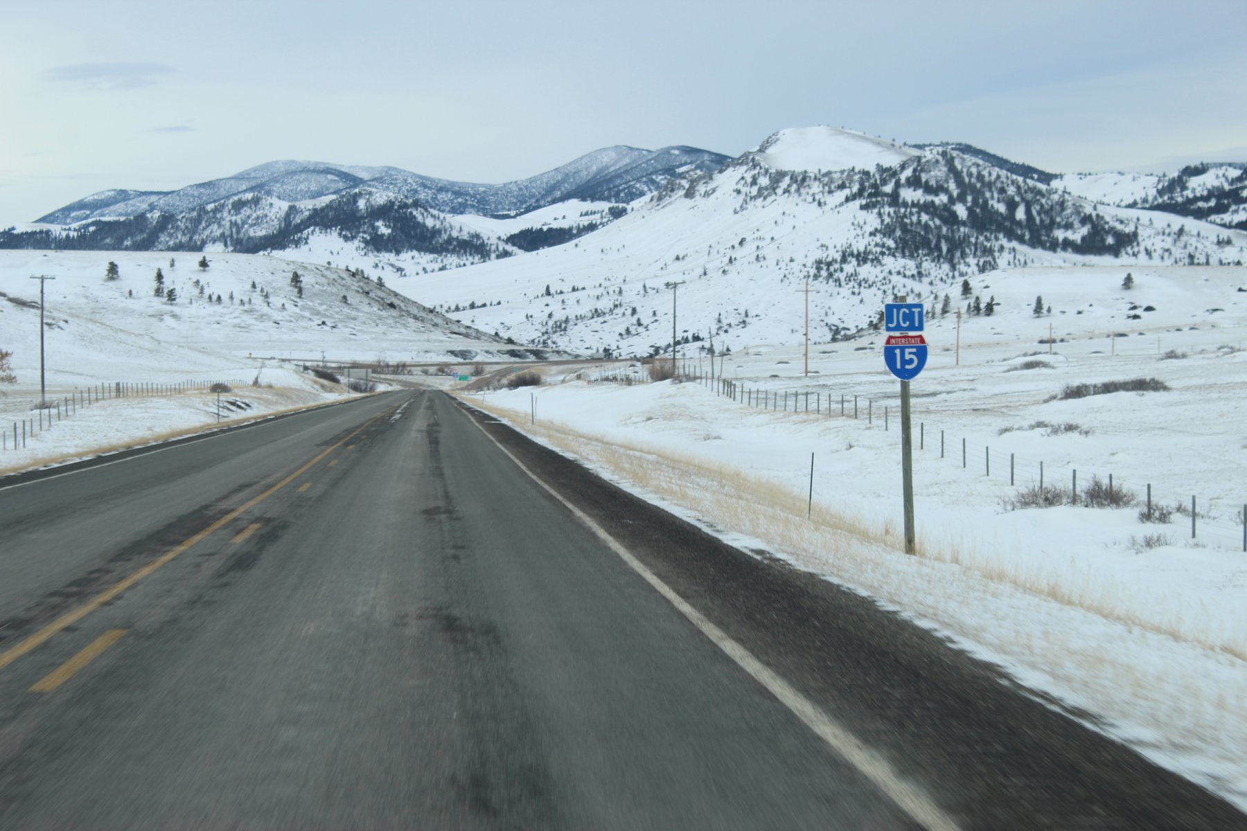
exit in 2 miles...
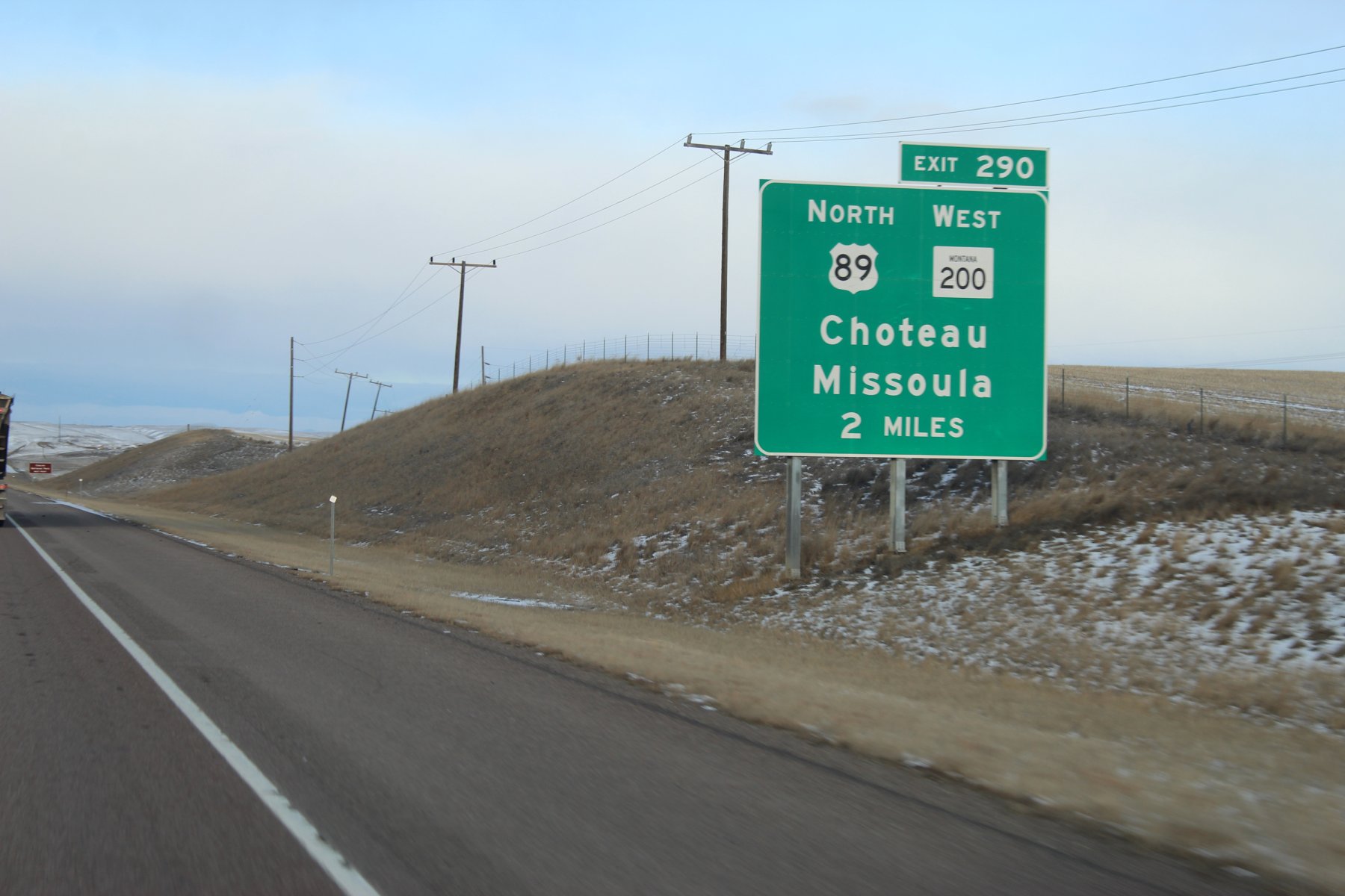
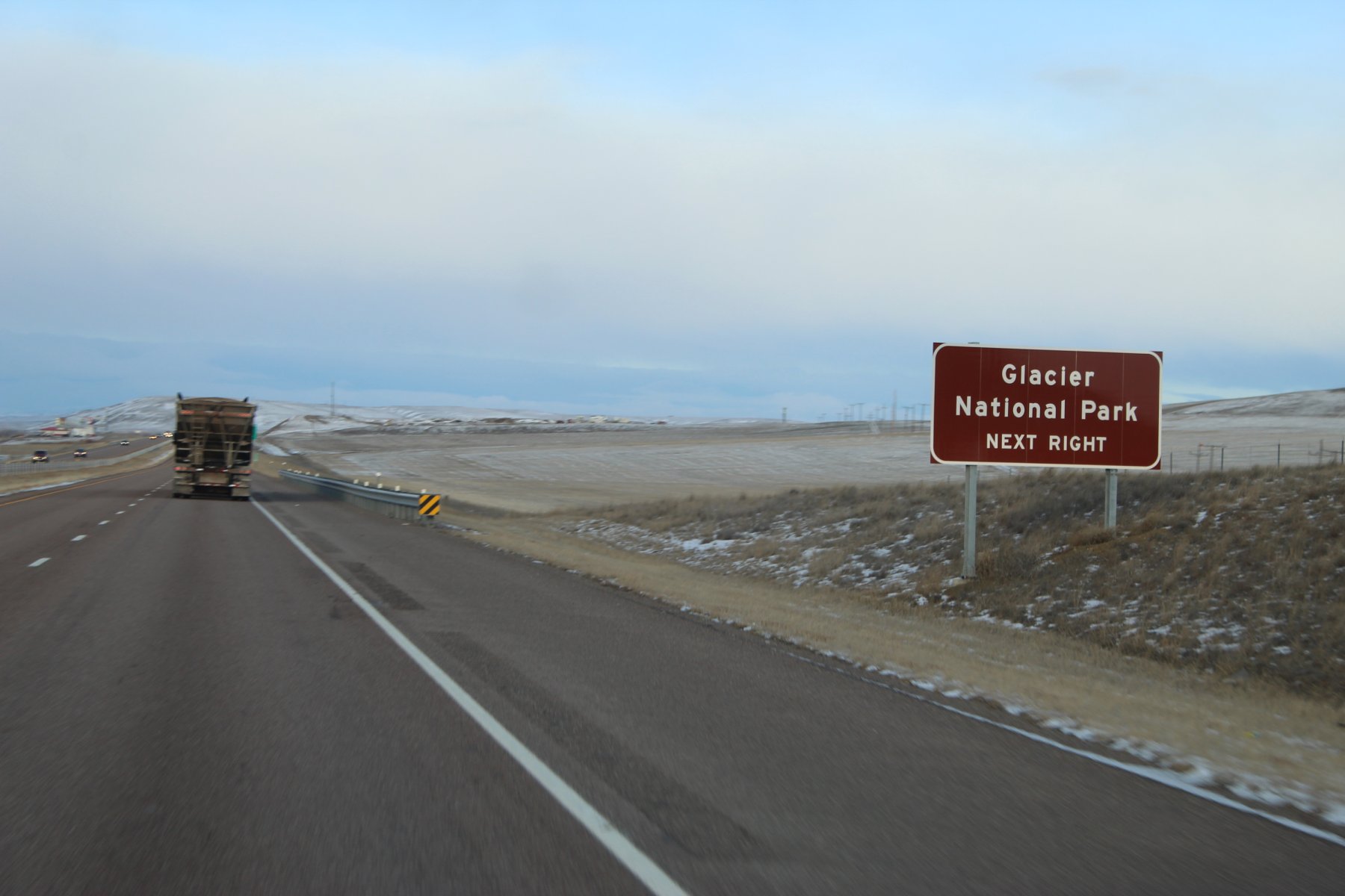
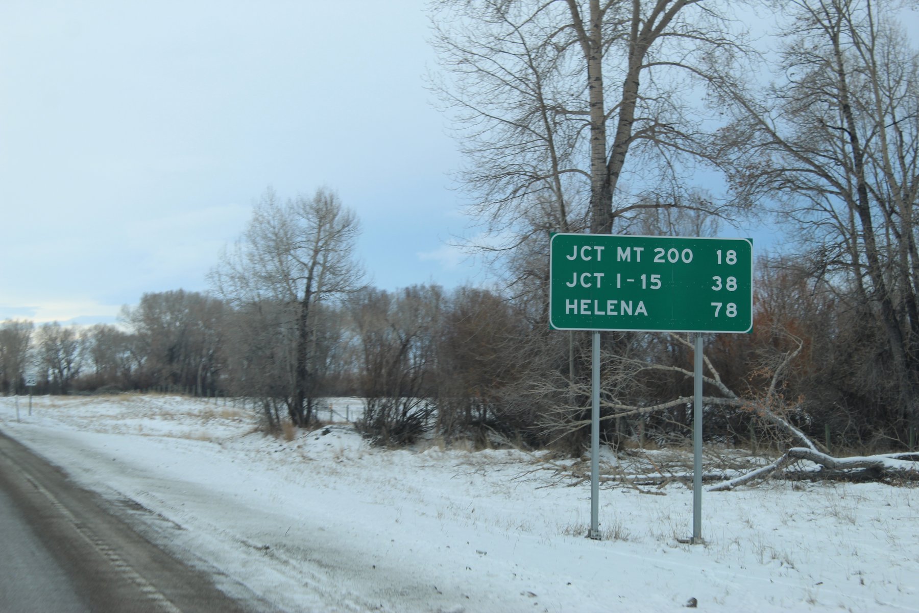
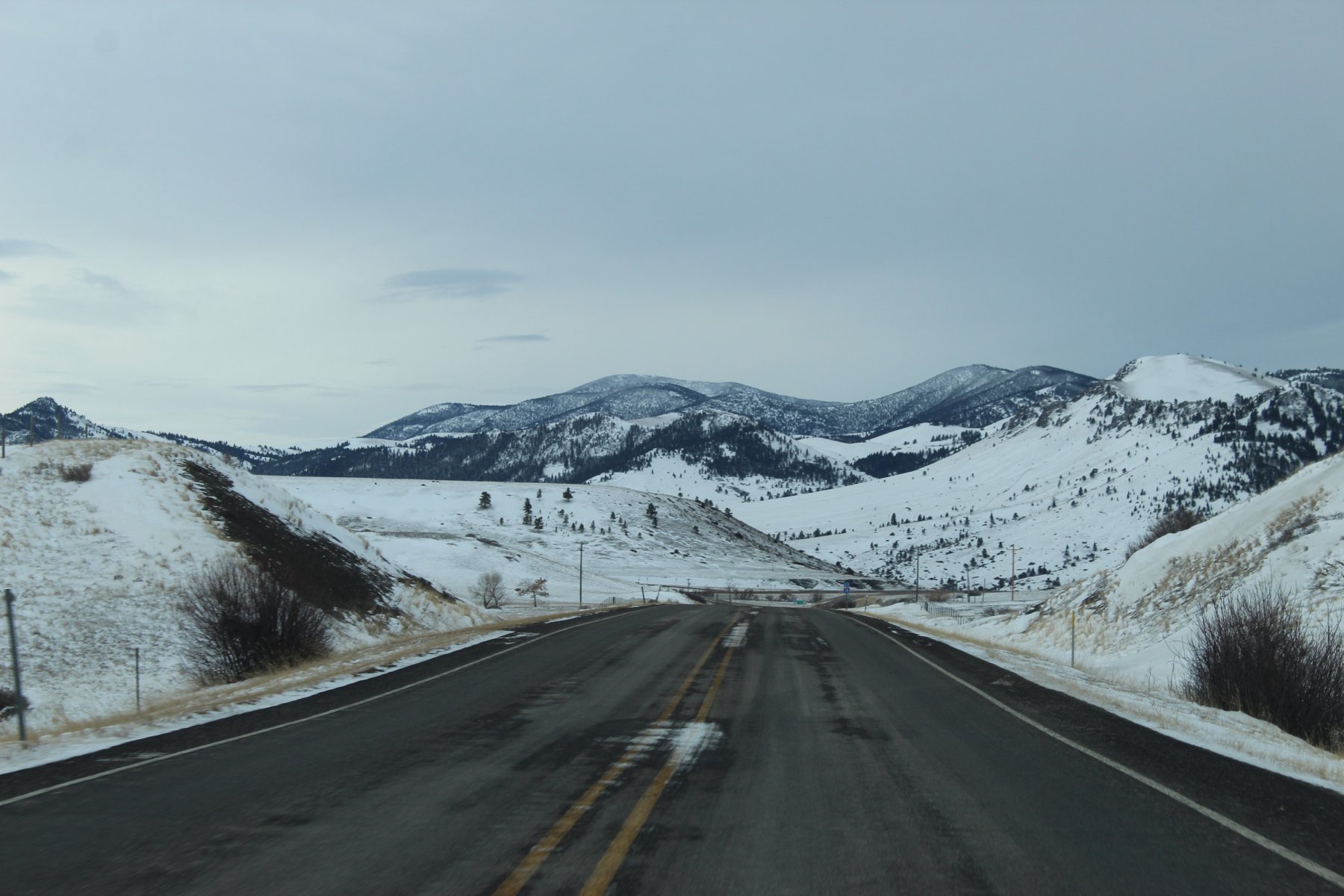
33 miles to the trailHead
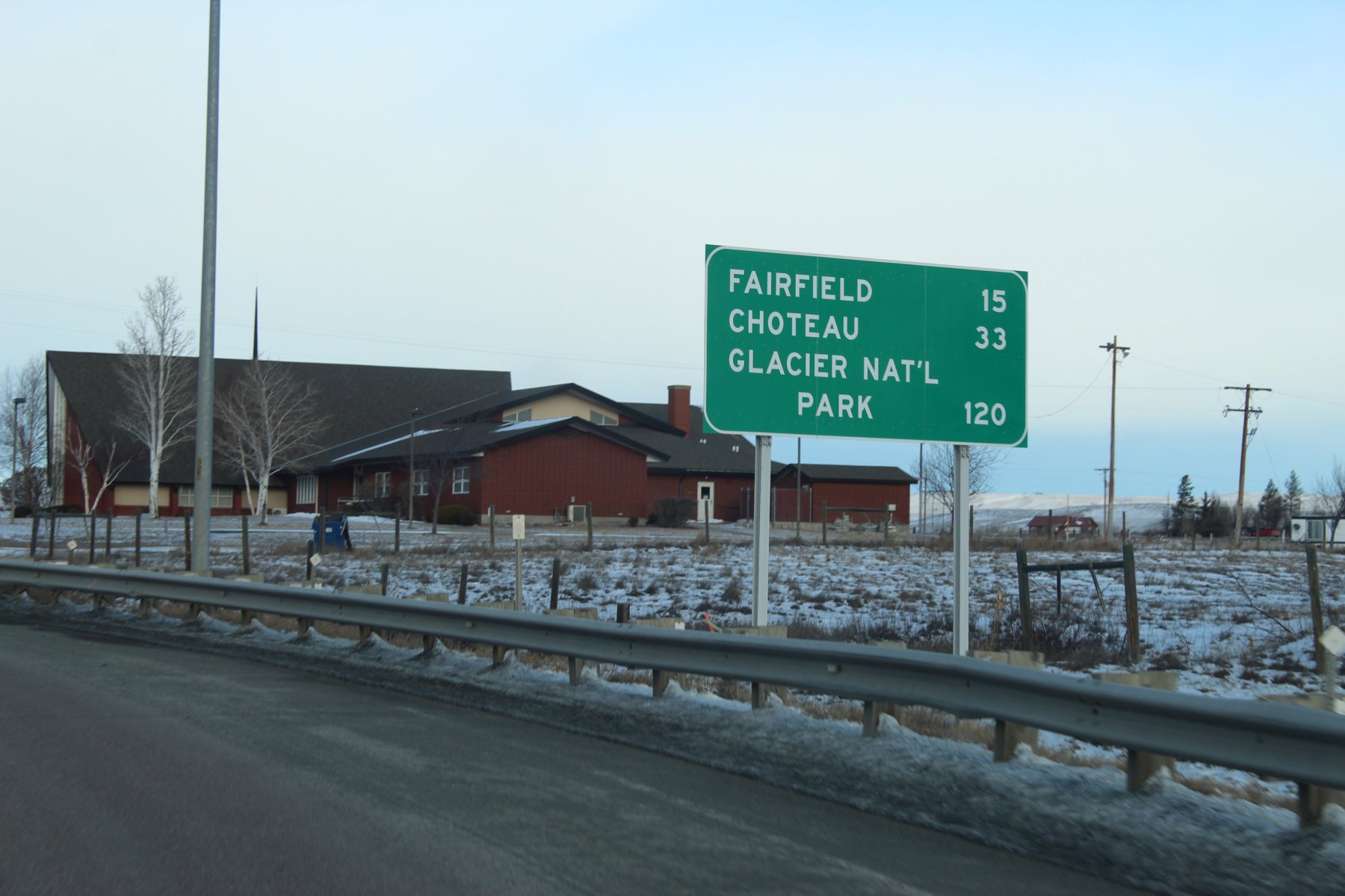
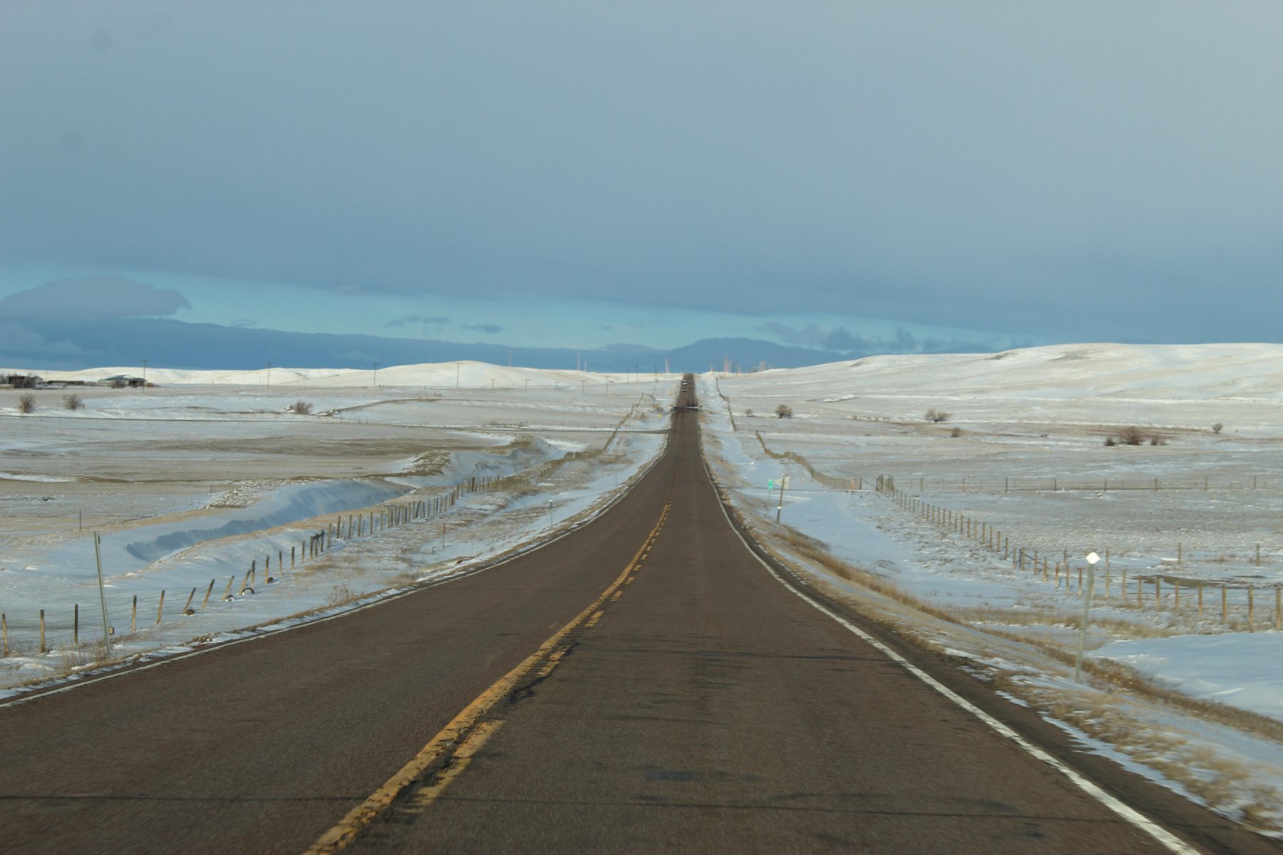

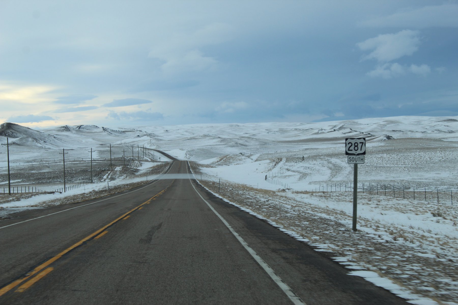
trailHead for US-287 is just ahead
heading back to Helena...
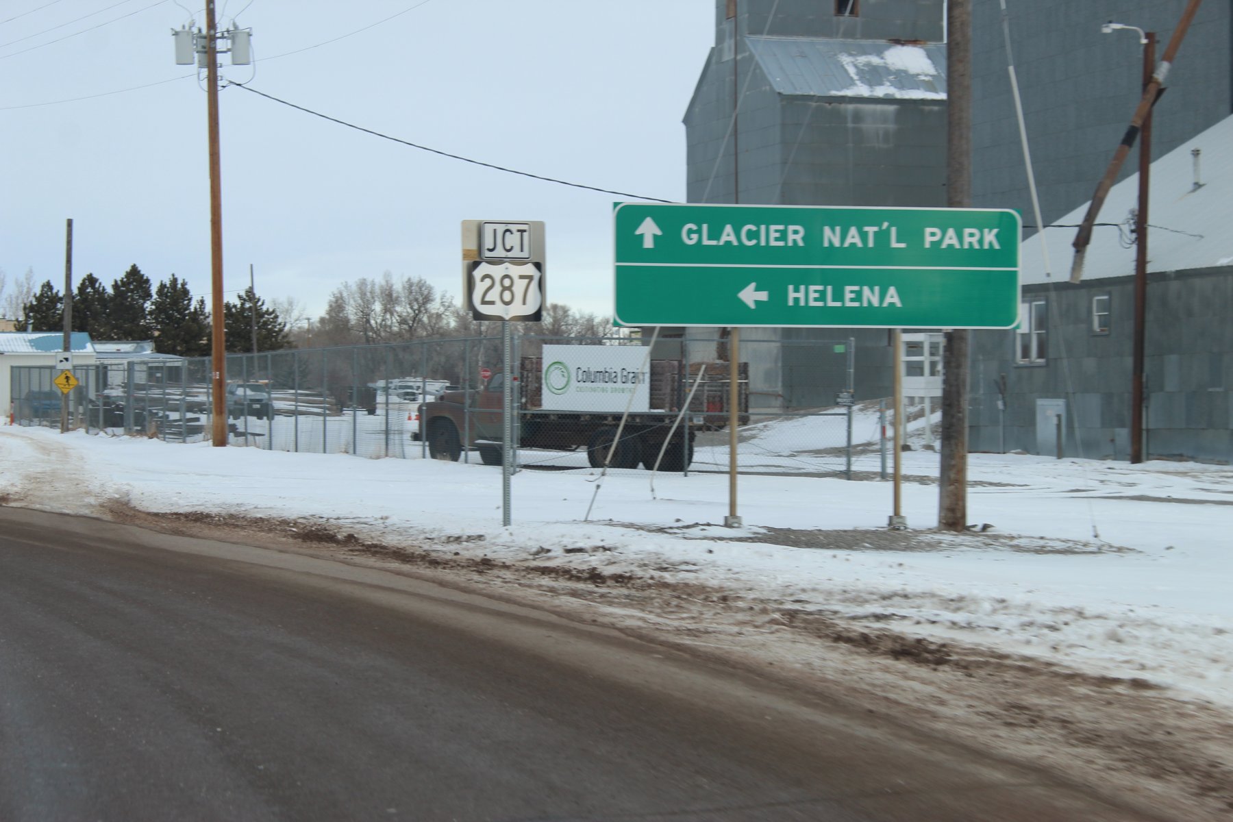
a 351 mile adventure on I-15 down to I-90 and back yesterday through the canyon and Missouri River crossing and scenic drive in the park... a bit dark out on that drive so no pictures were had
...need more tacoJuice!

ready to head to Lander Wyoming down US-287 where it starts in Choteau Montana, a bit north and west of Great Falls


heading north on US-89/i15

exit in 2 miles...


33 miles to the trailHead


trailHead for US-287 is just ahead
heading back to Helena...

Last edited:
JayQQ97
MW surVivor ... clutched. 368k on the 0D0
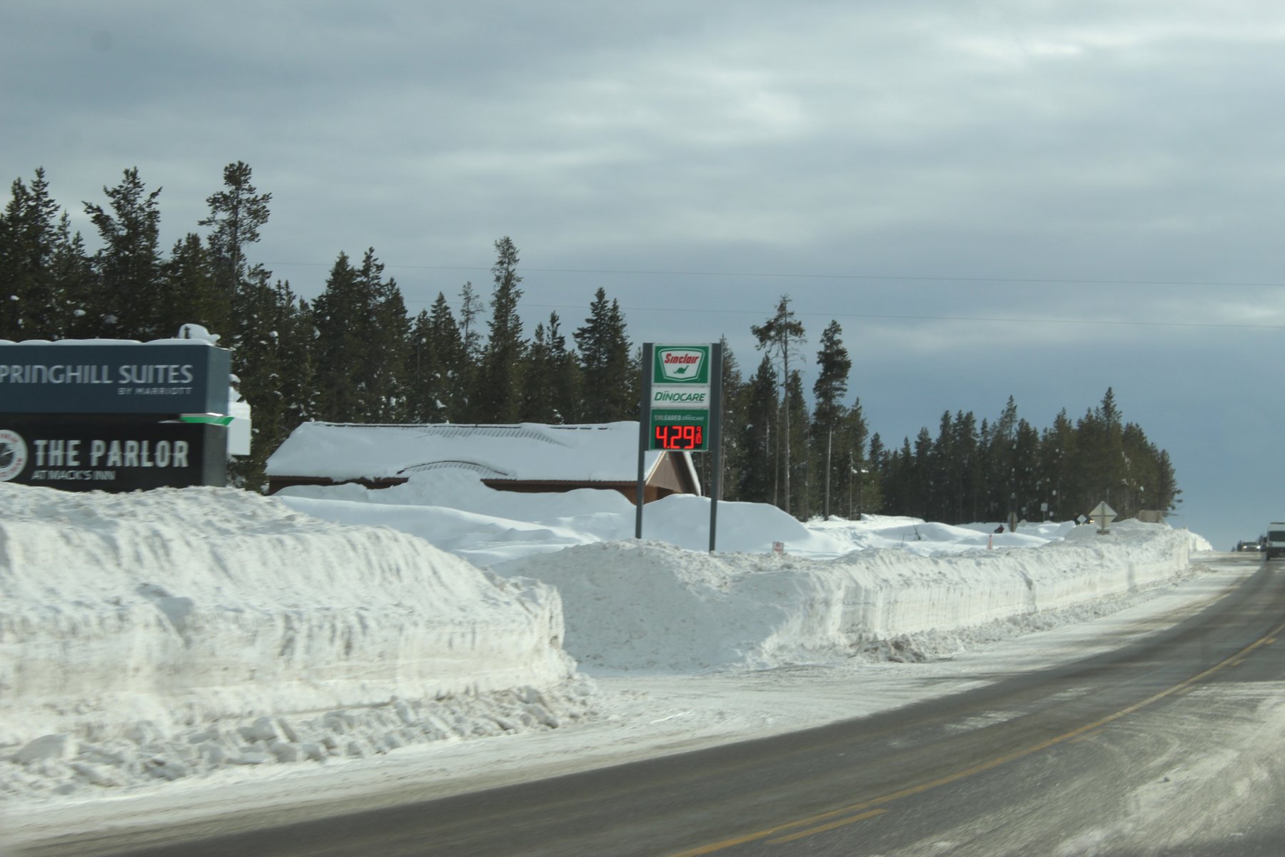
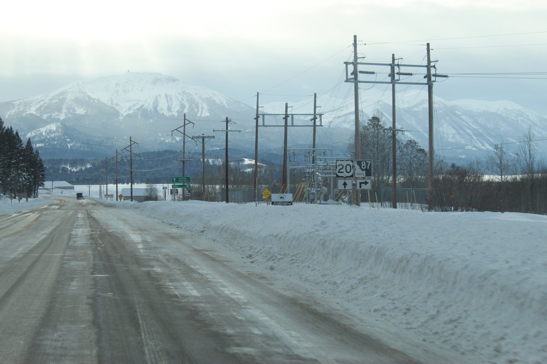
Idaho gas... quite the spread within a short distance on US-20
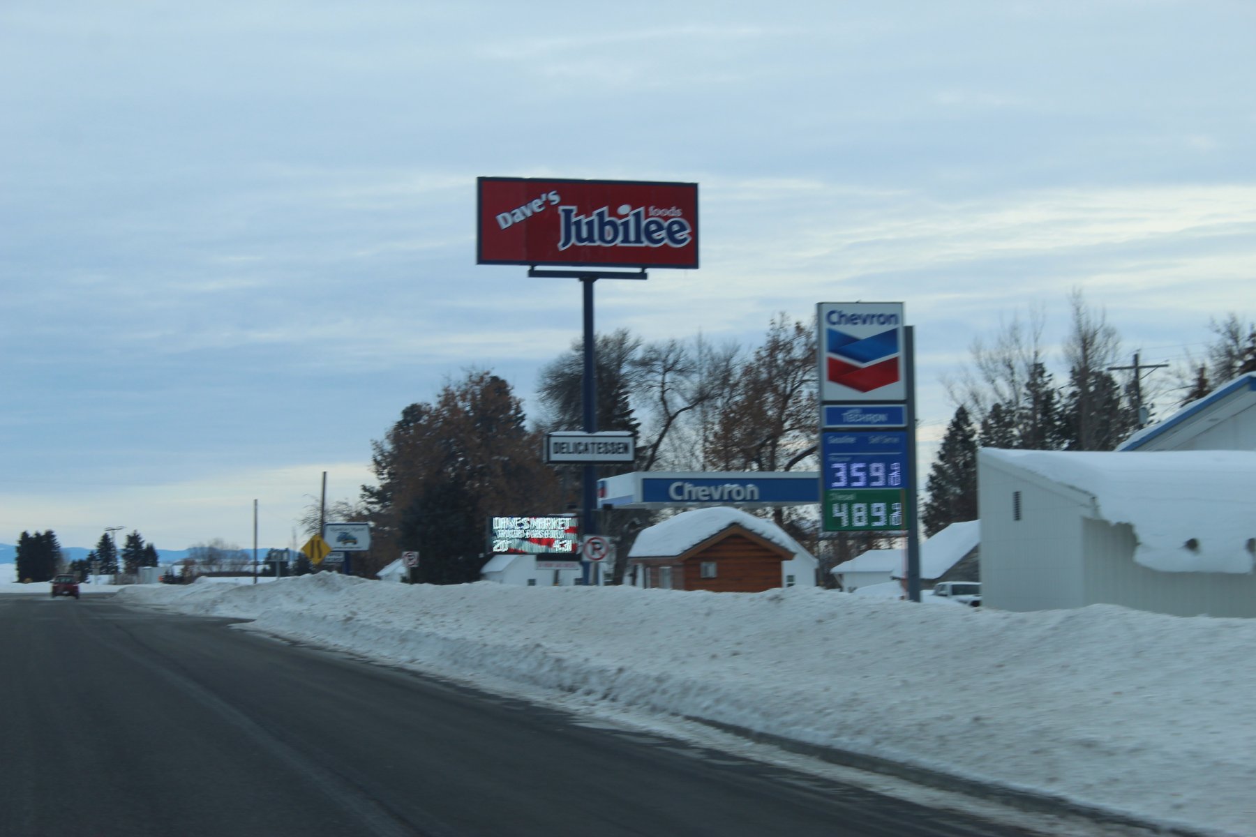
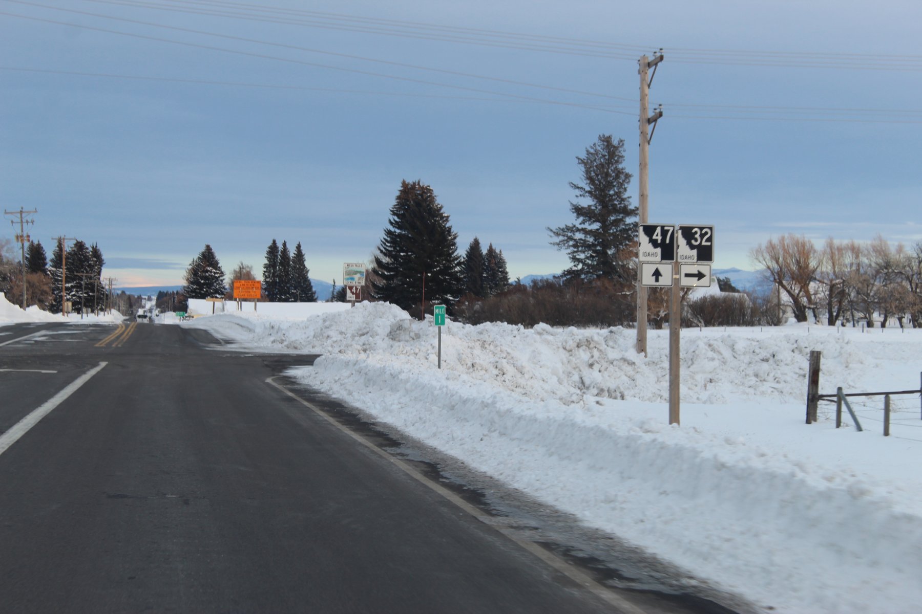
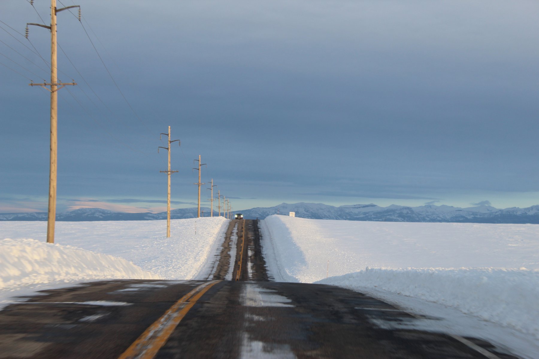
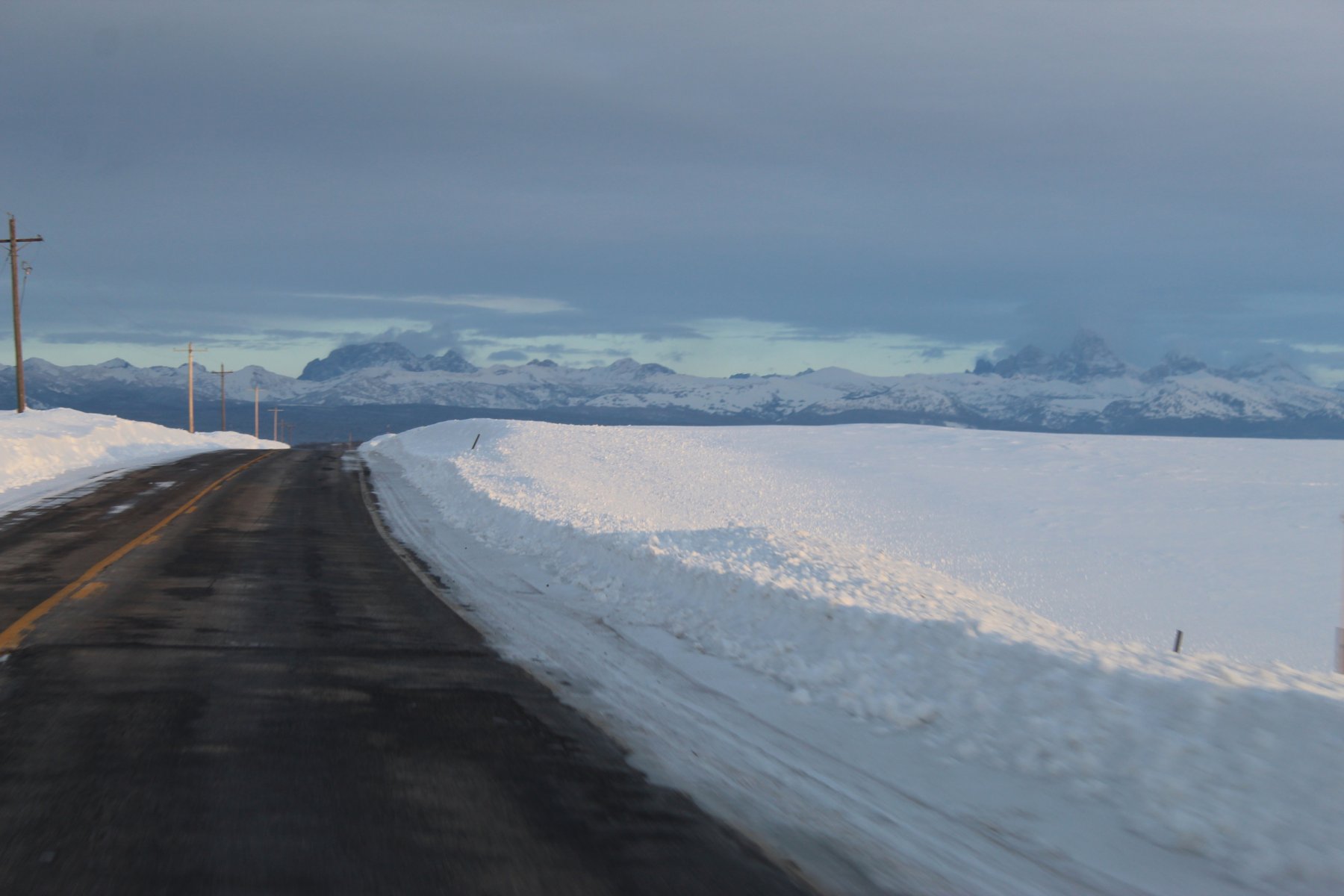
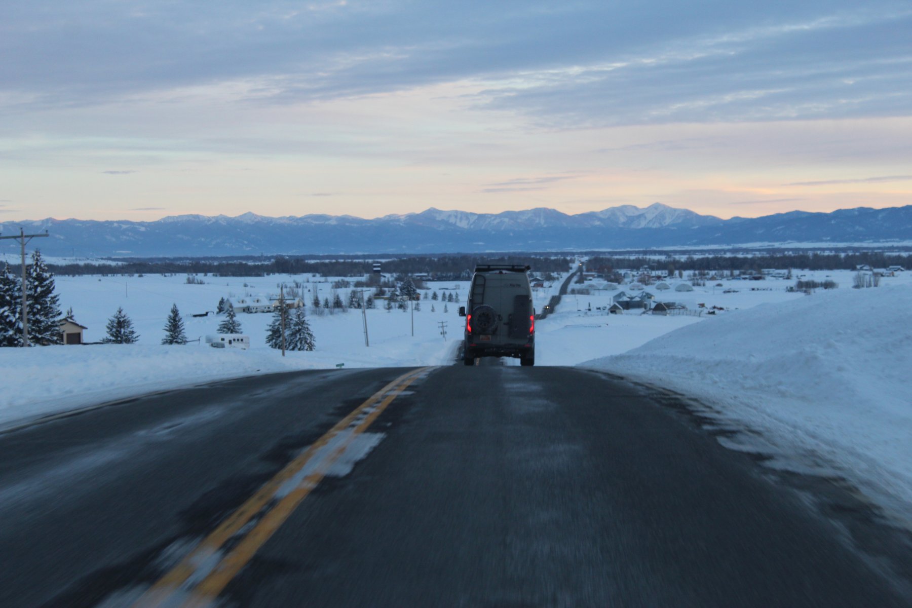

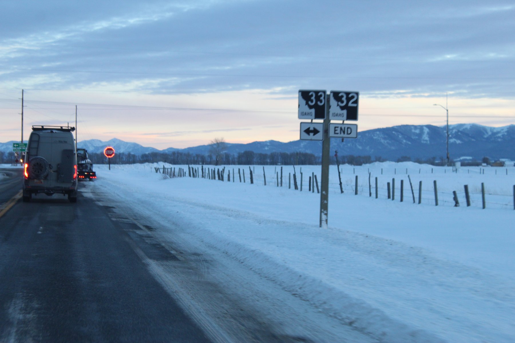
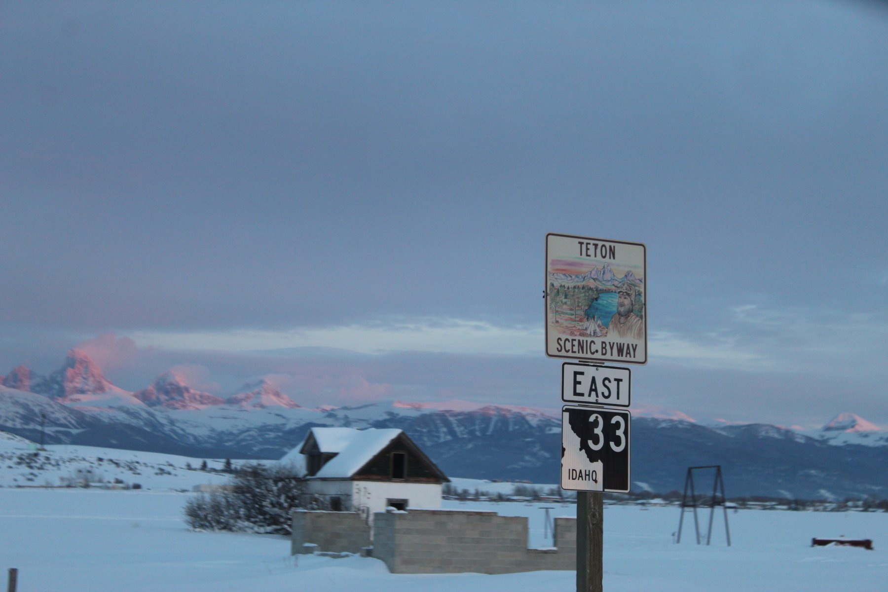
... last pic of the day before became a bit too dark for good Q
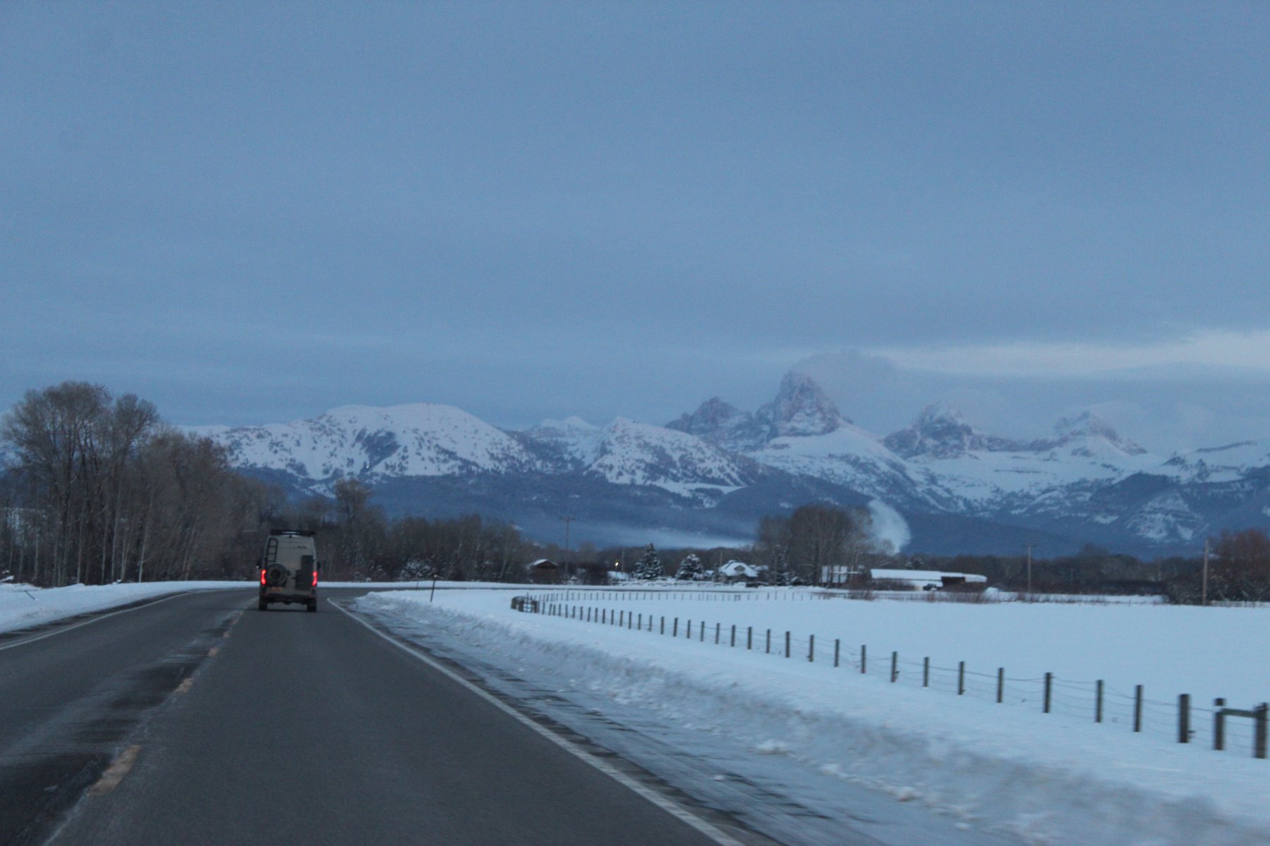
the drive over the mountain pass (10% grade) then through and around Jackson Wyoming, plus finding the path along US-26 south of YNP in the dark and very cold icy slick roads and hills was quite the adventure... made it to destination and checked in at Lander WY at about 11pm
1-Feb-2o23
Last edited:
JayQQ97
MW surVivor ... clutched. 368k on the 0D0
Homestretch today
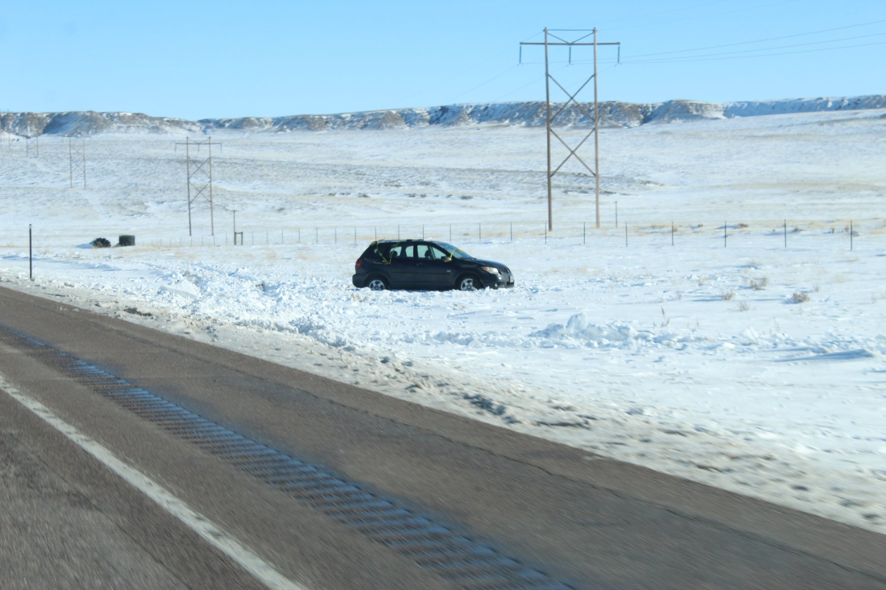
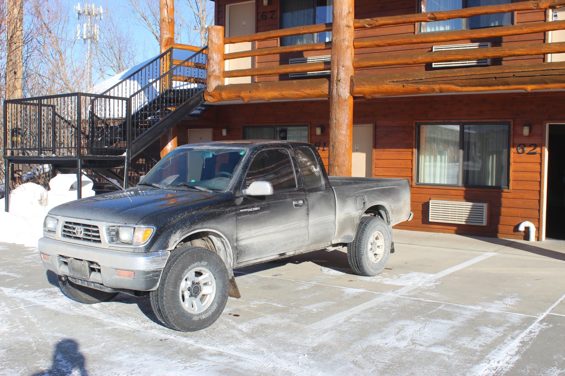
the truck looks so dirty! ... i think they salted the roads heavy back in Jackson Wyoming, streets were relatively non-slick in town until i headed out on US-26 south of YNP in the dark
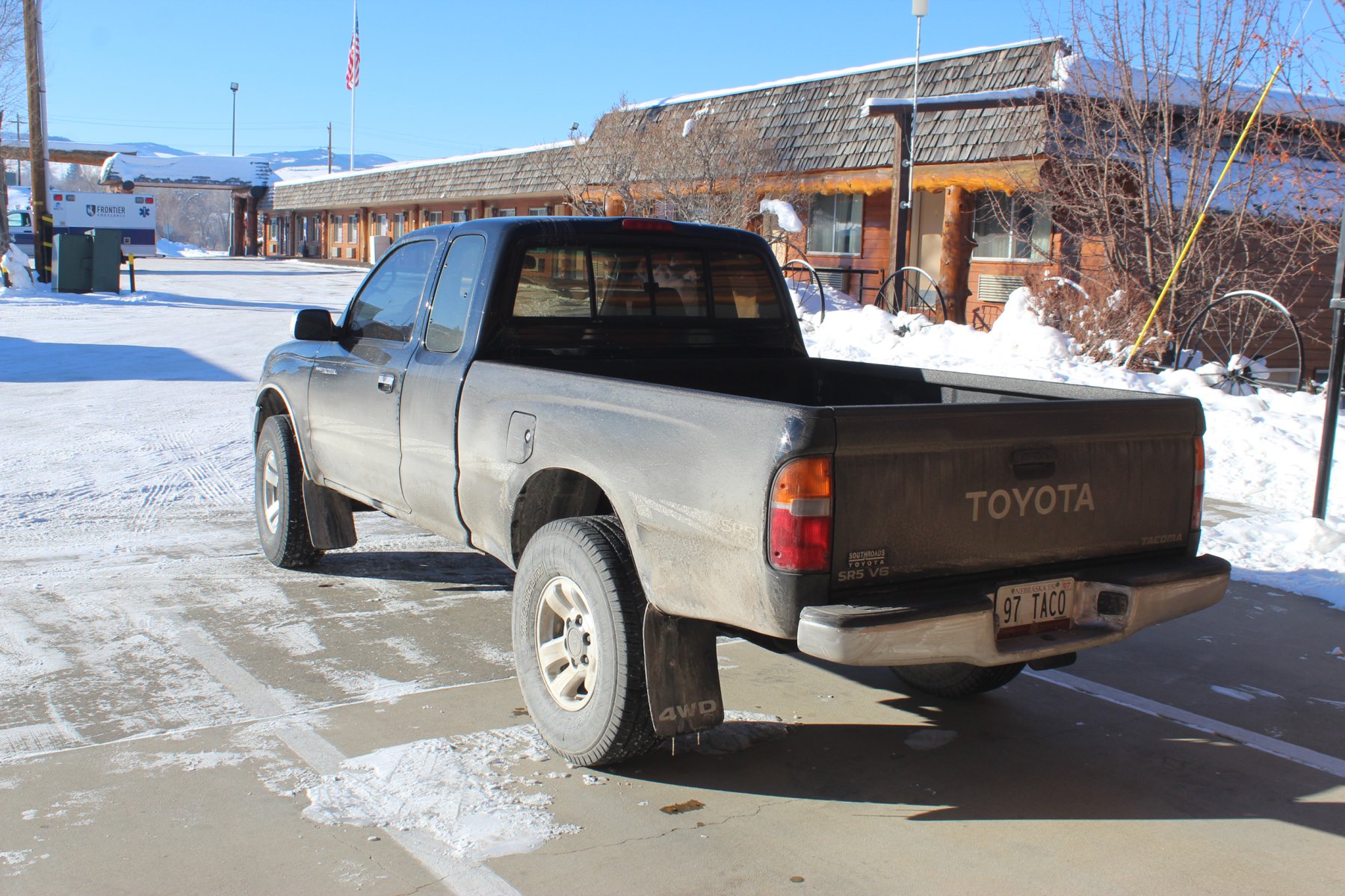
definitely needs a truck wash bad
decent place to stay in Lander, wish i had more time/another night to spend but its a long treK back could take all day...
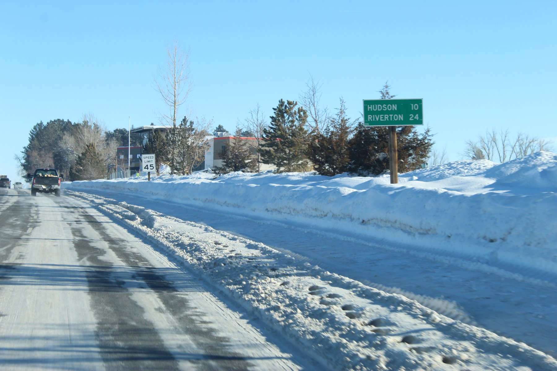

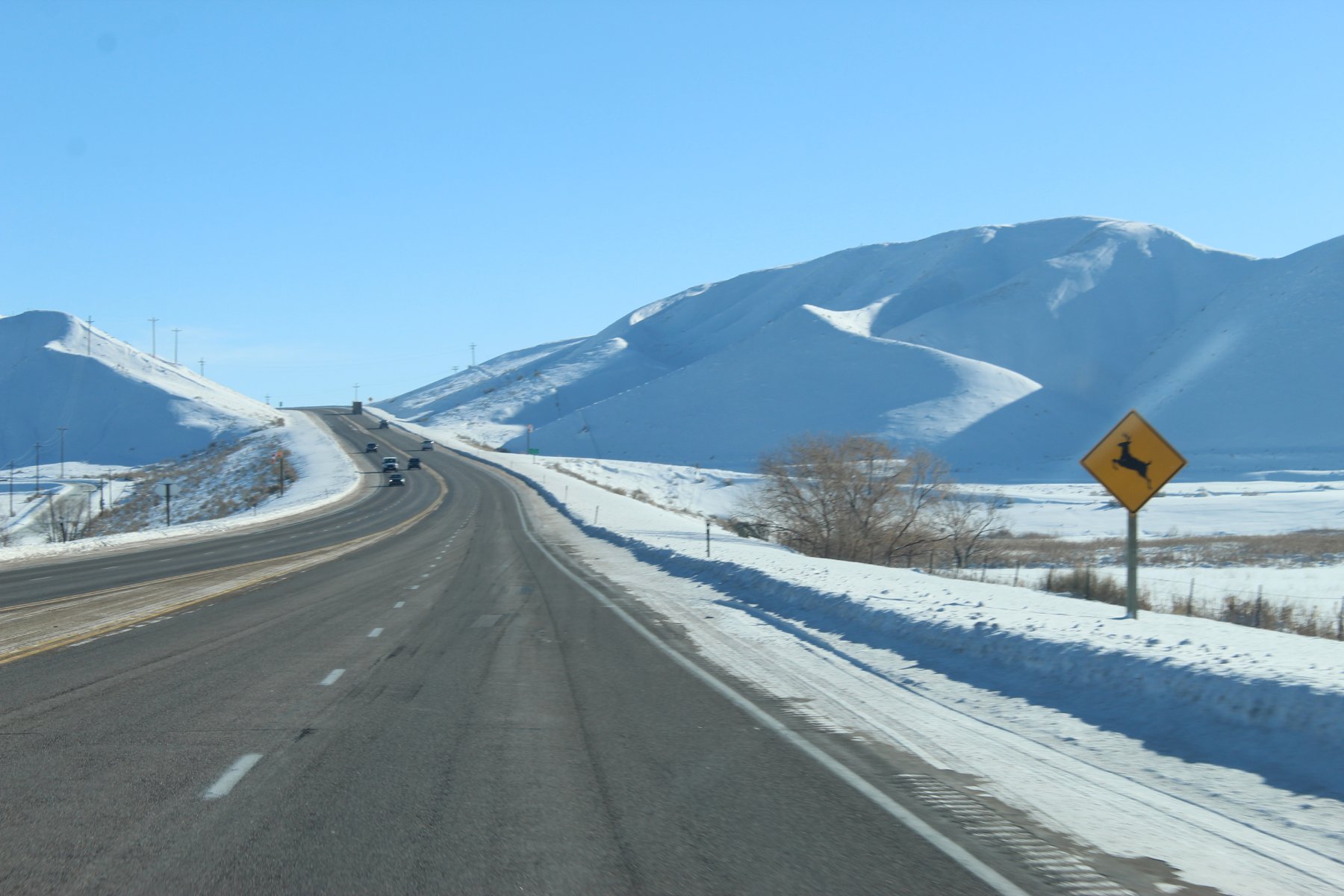
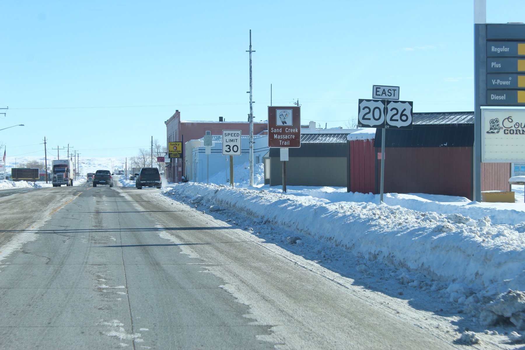
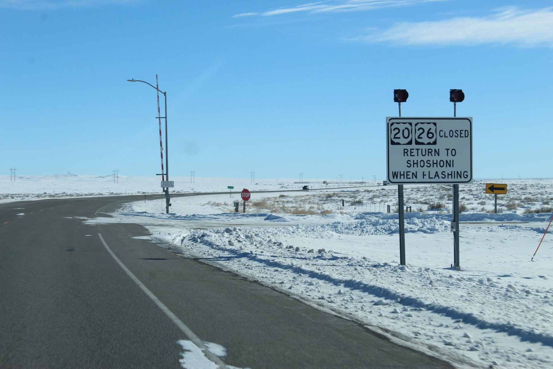
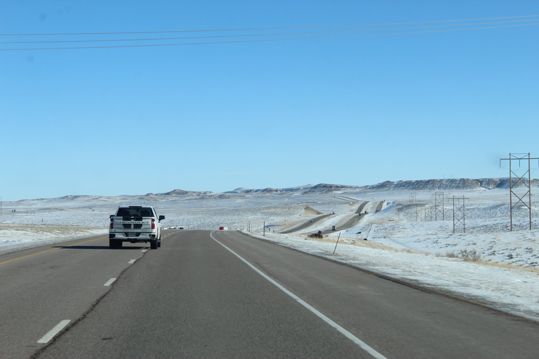
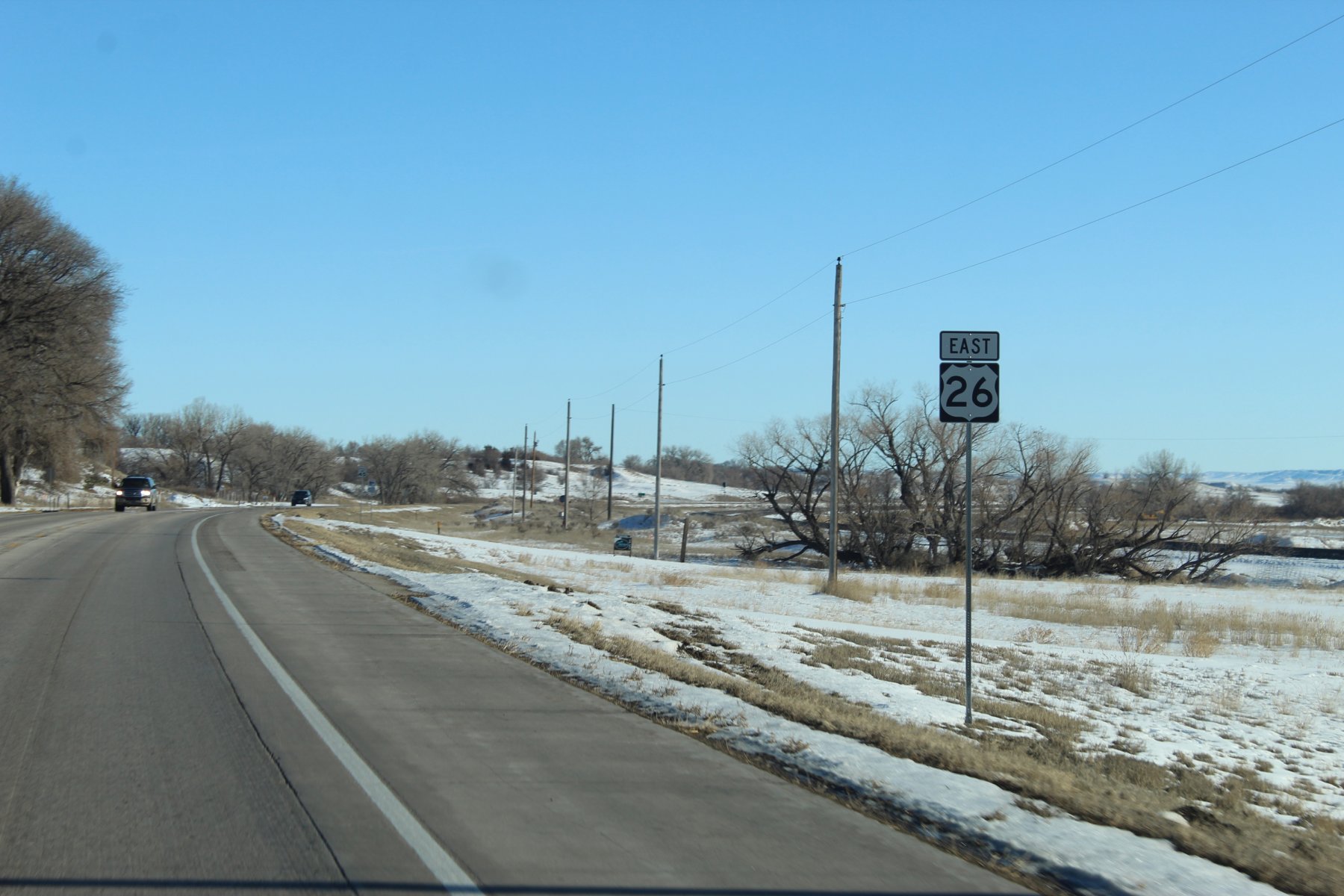
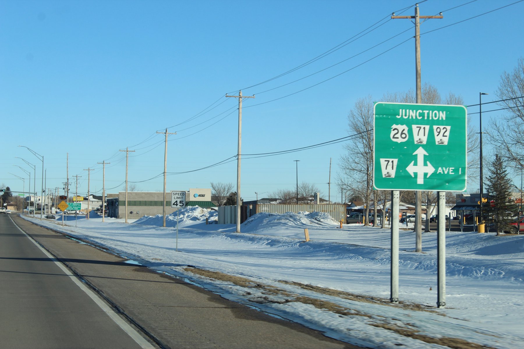
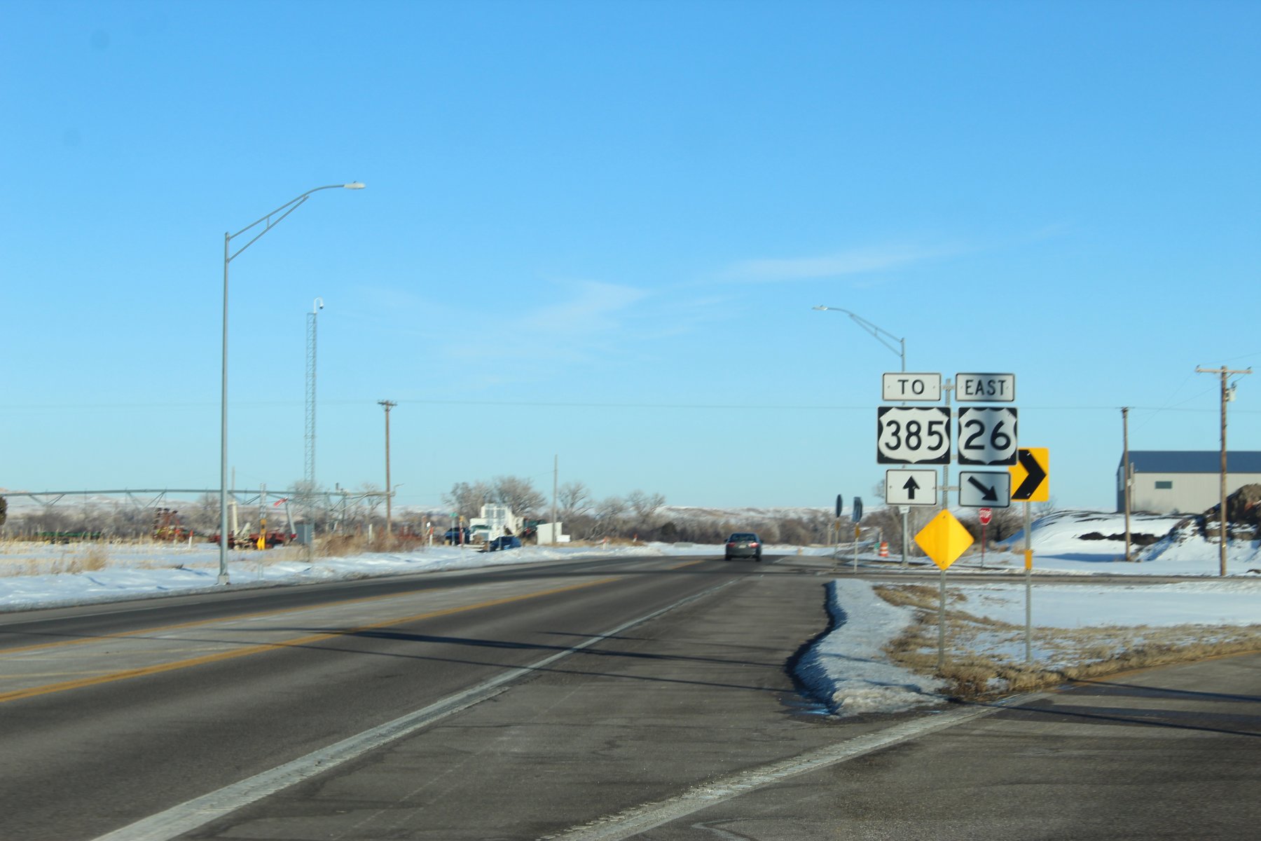
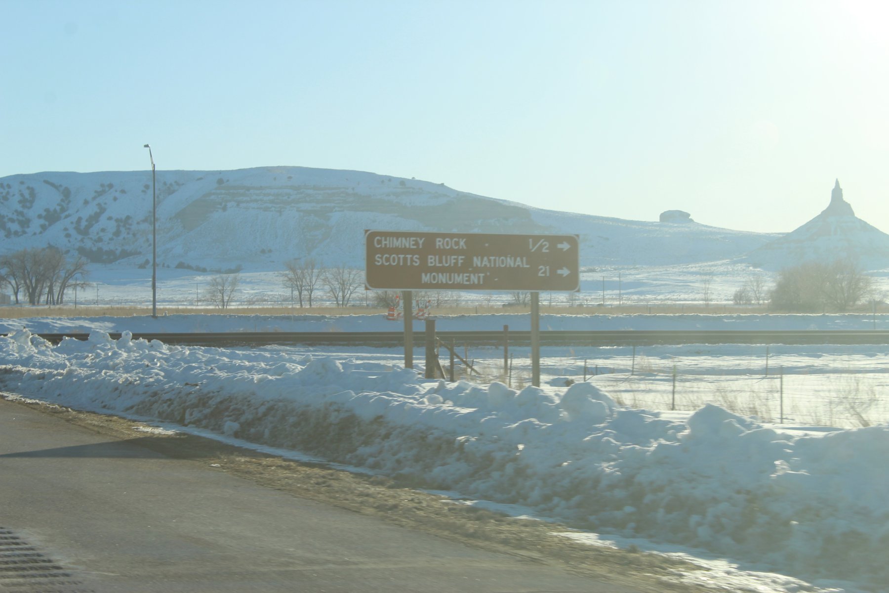
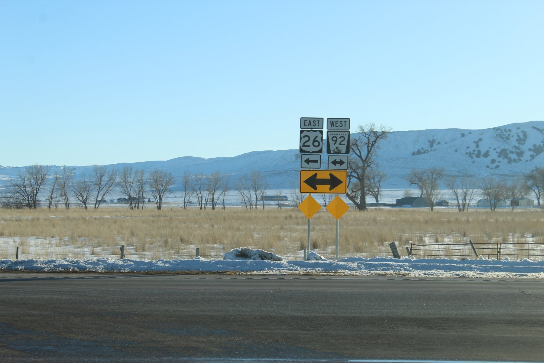
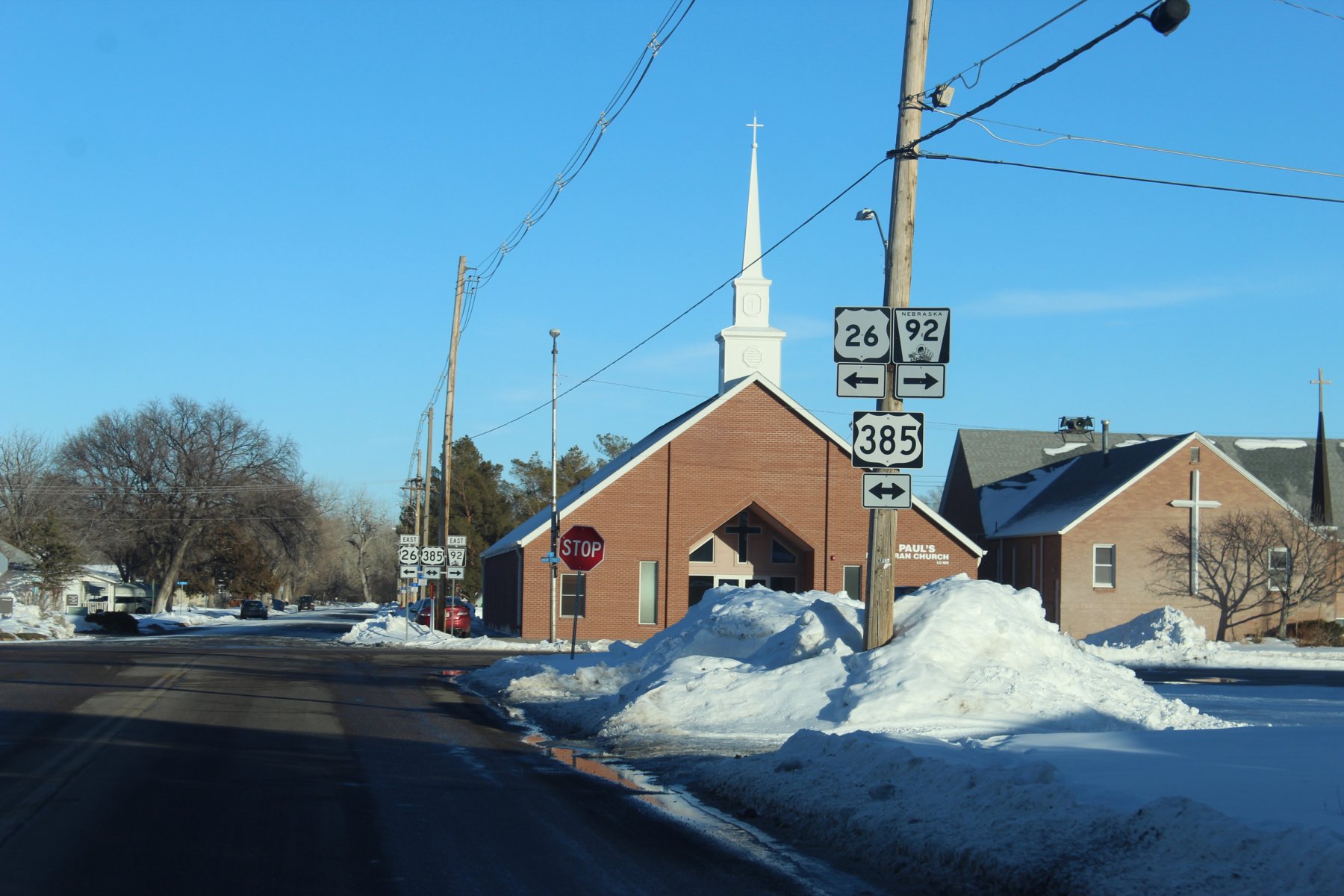
going to head east on US-26 ... aka the Oregon Trail
last evenings romp on US-26 around YNP was dark cold and treacherous... wish there were pics of that adventure but none there are

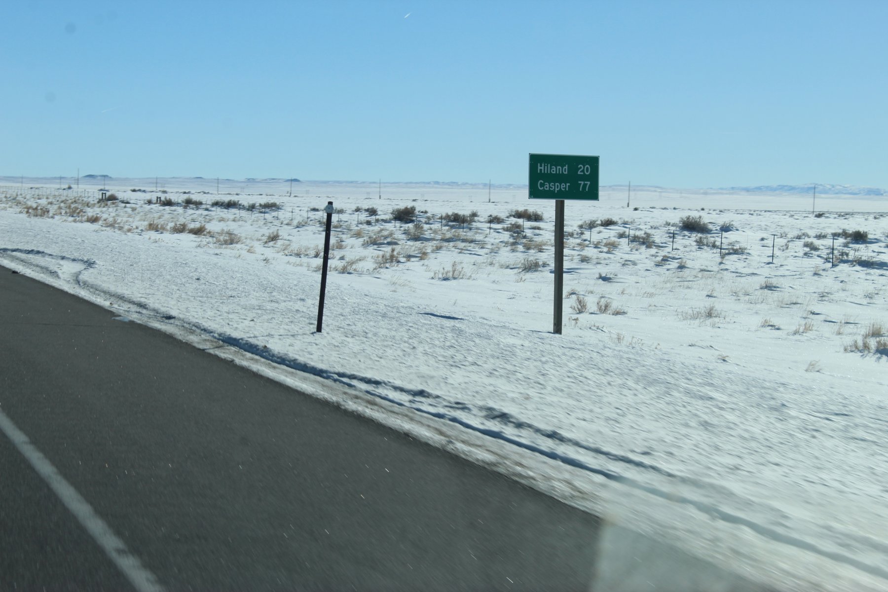
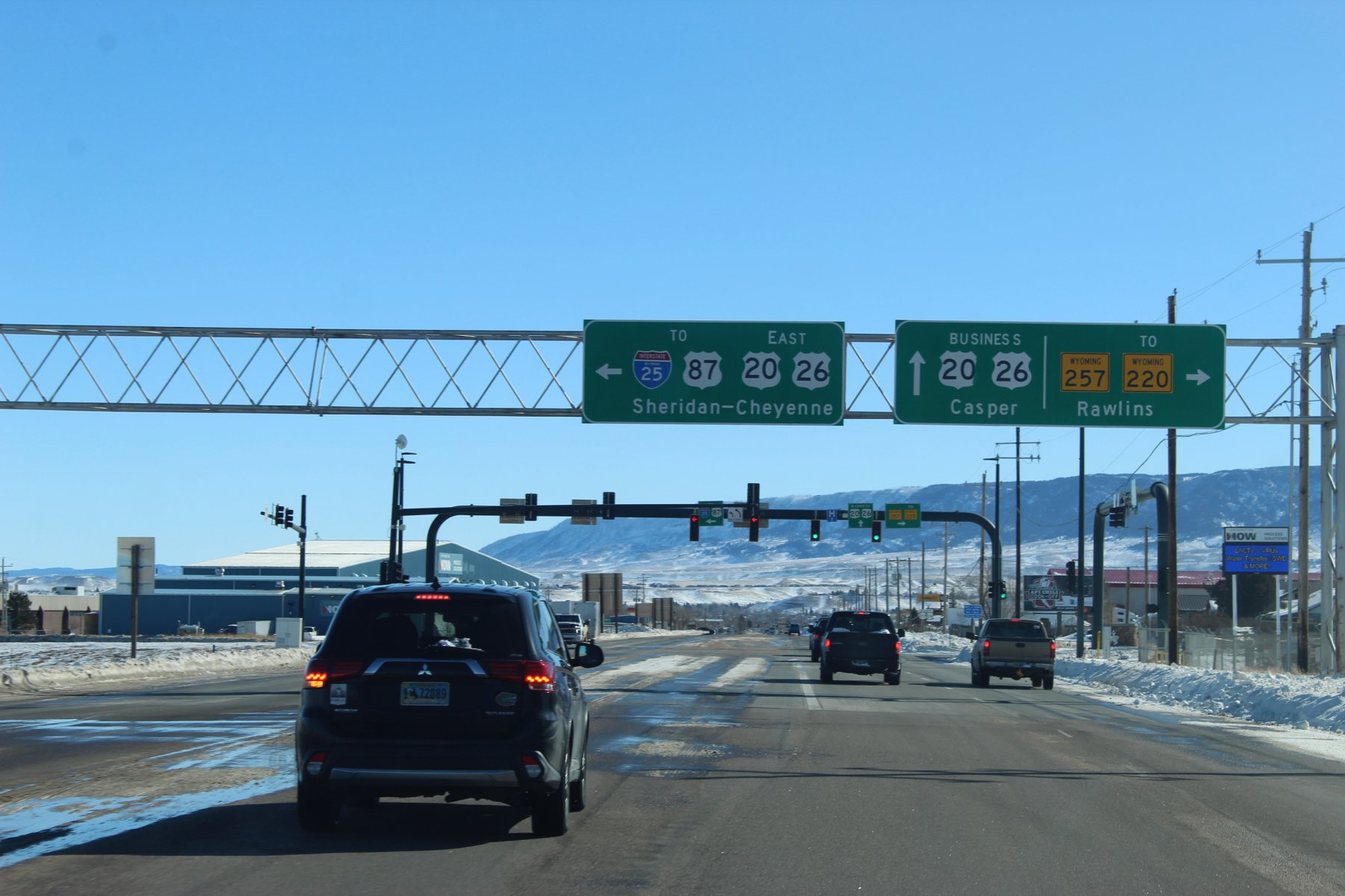
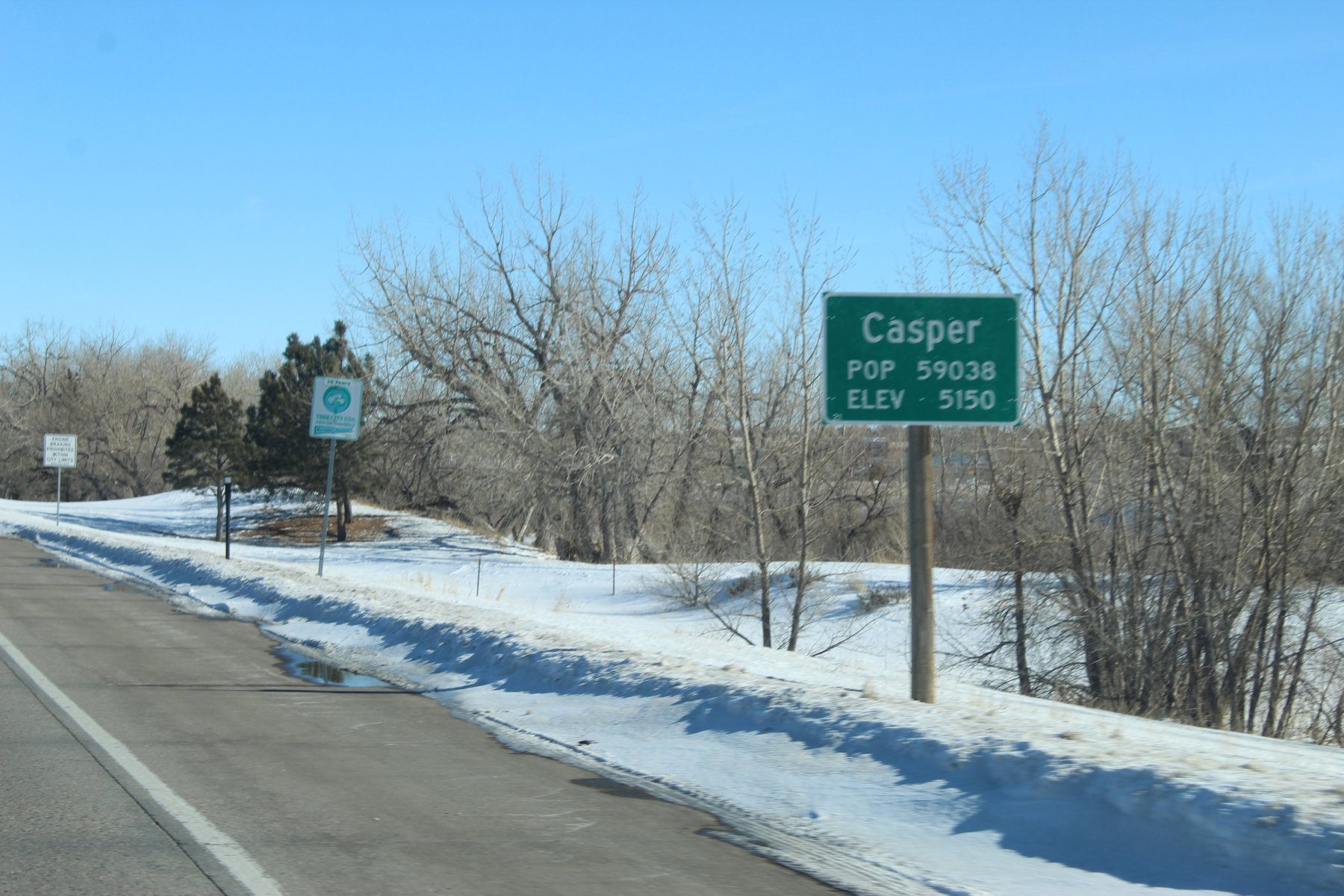
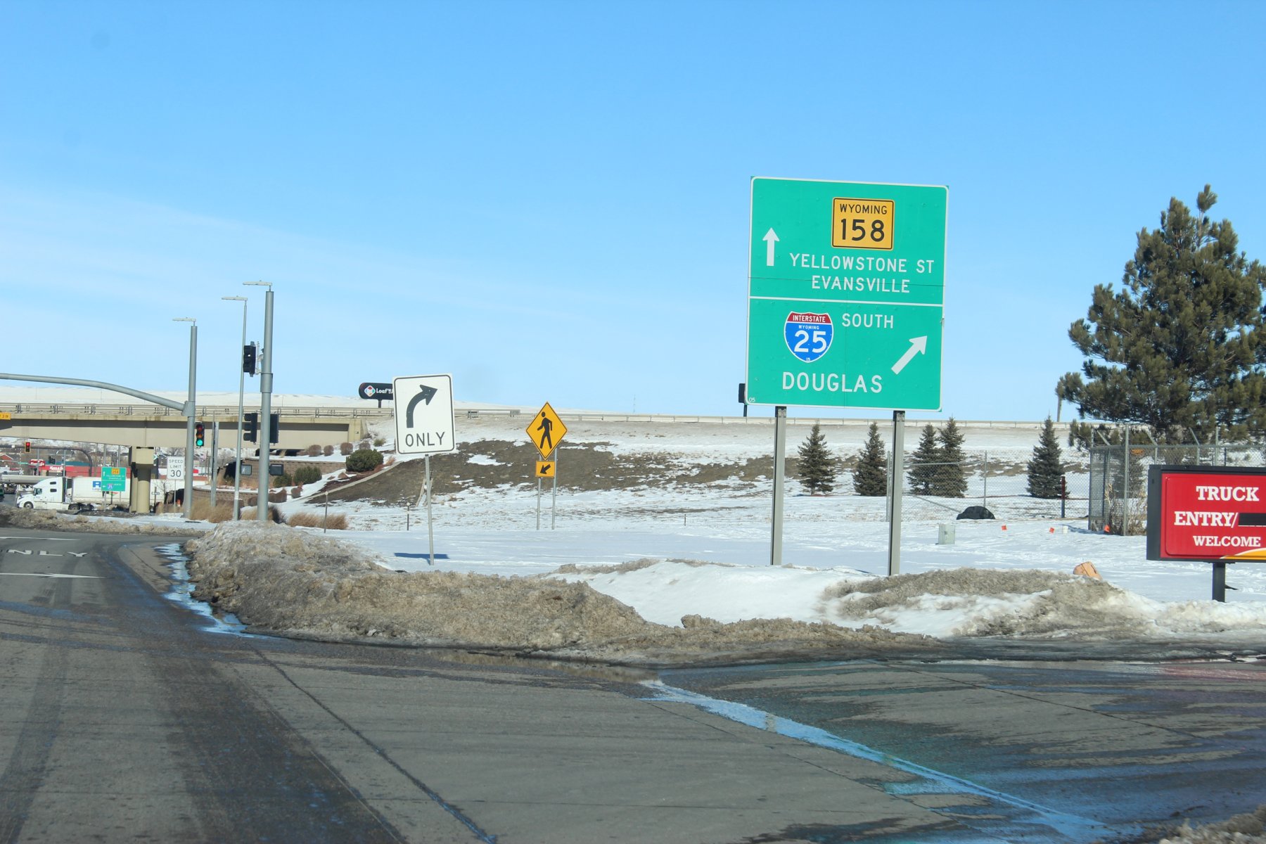
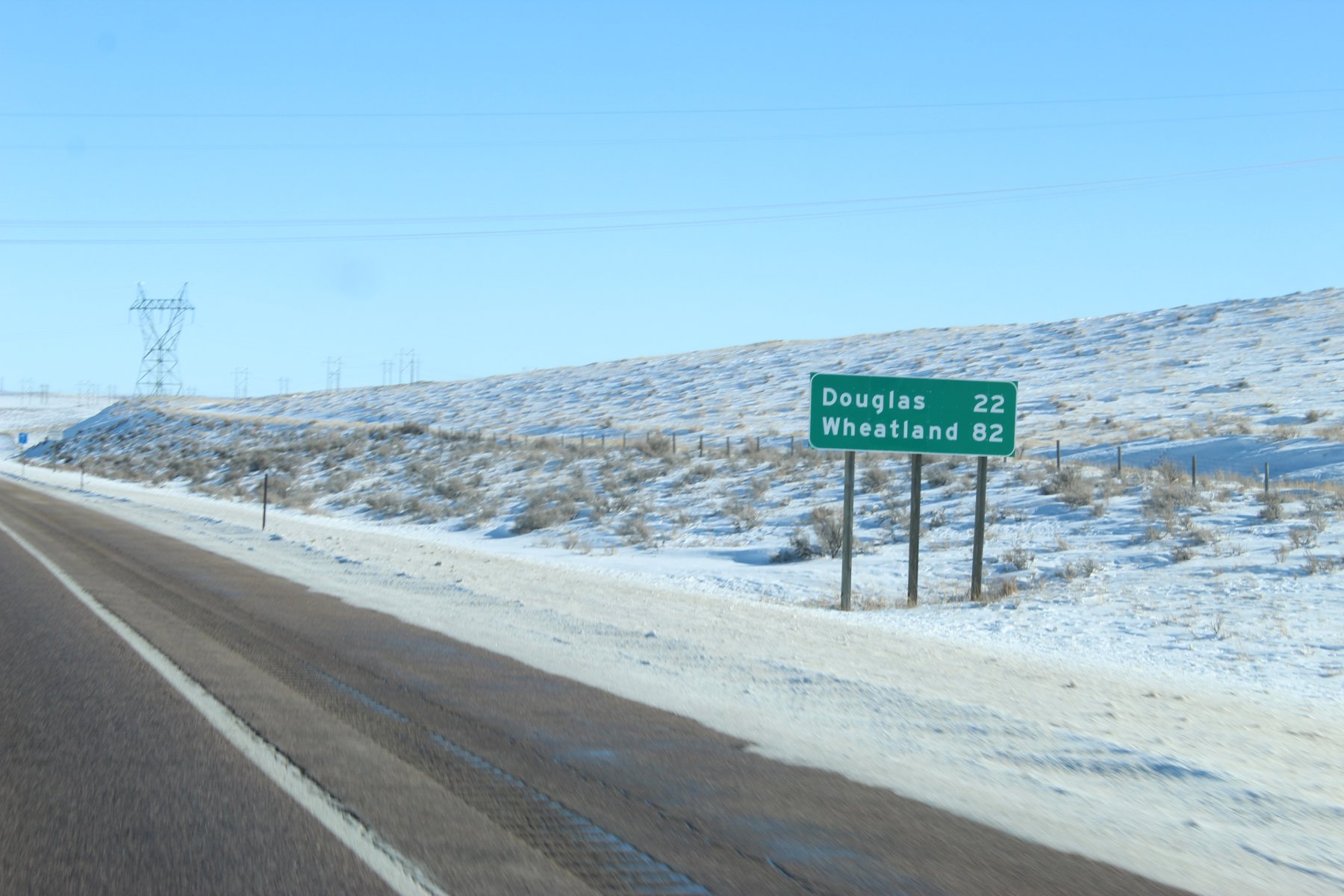
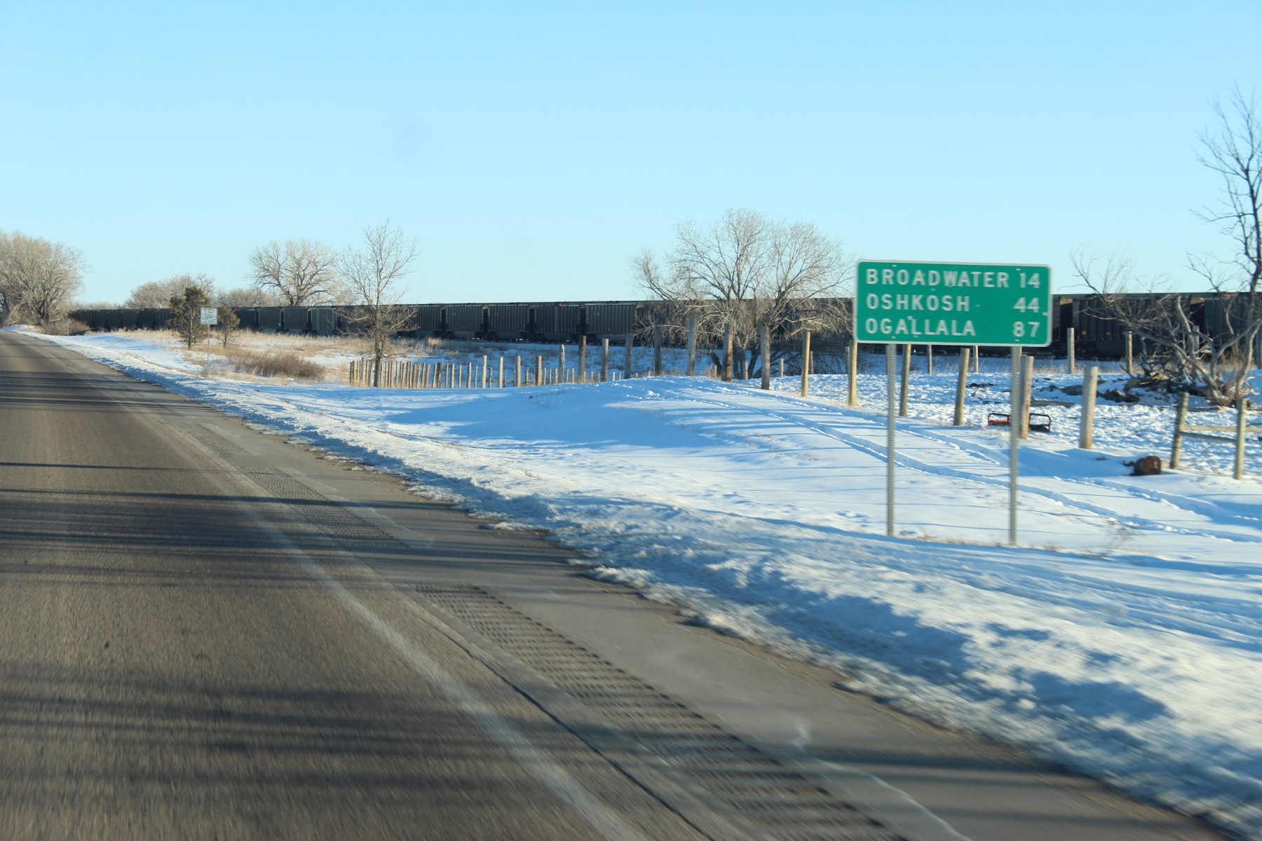
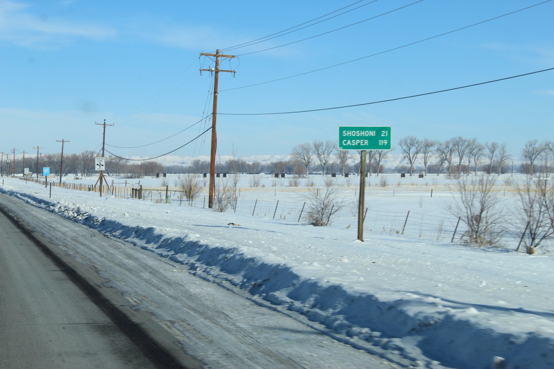
119 miles to Casper... where i was just at many days ago lol
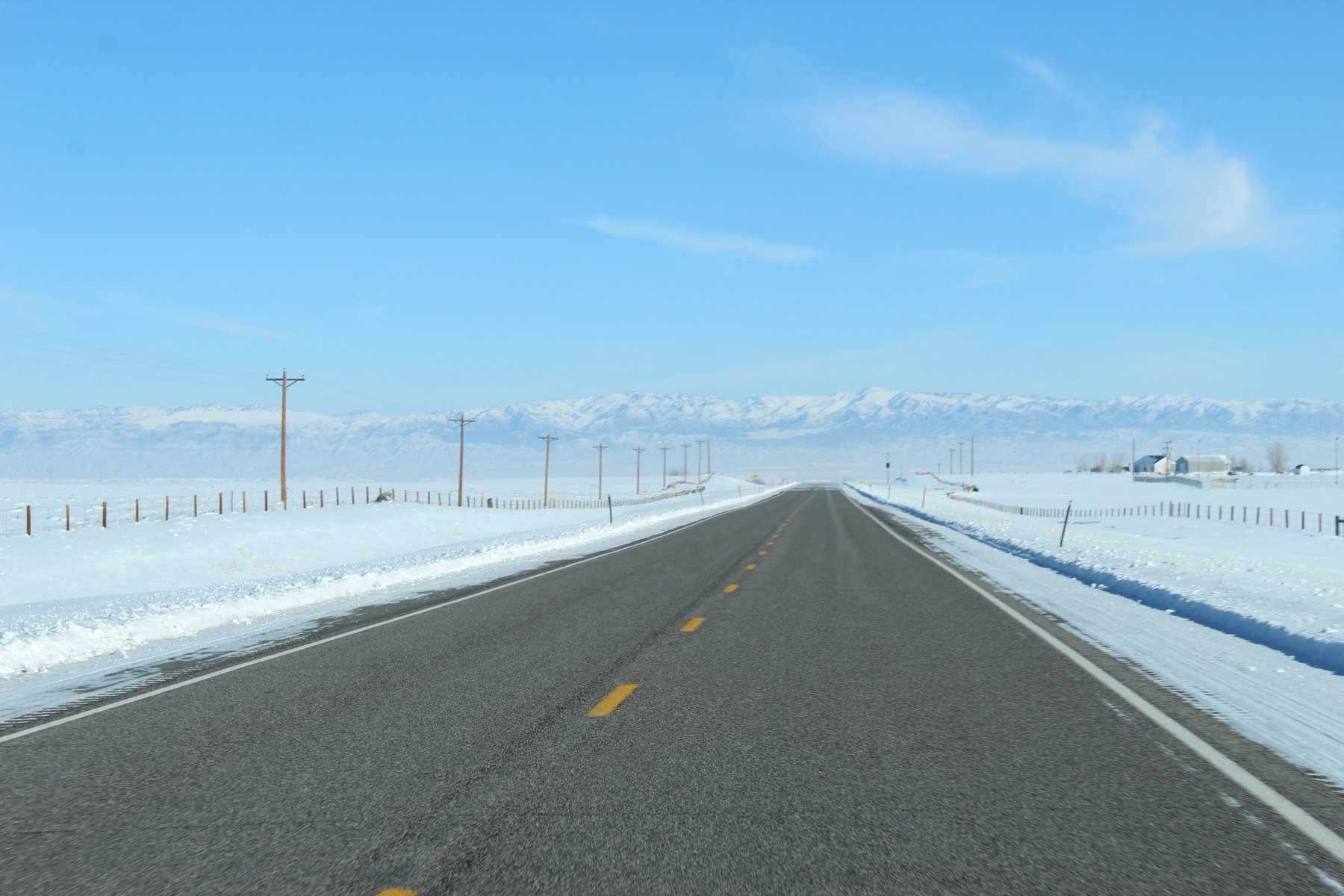
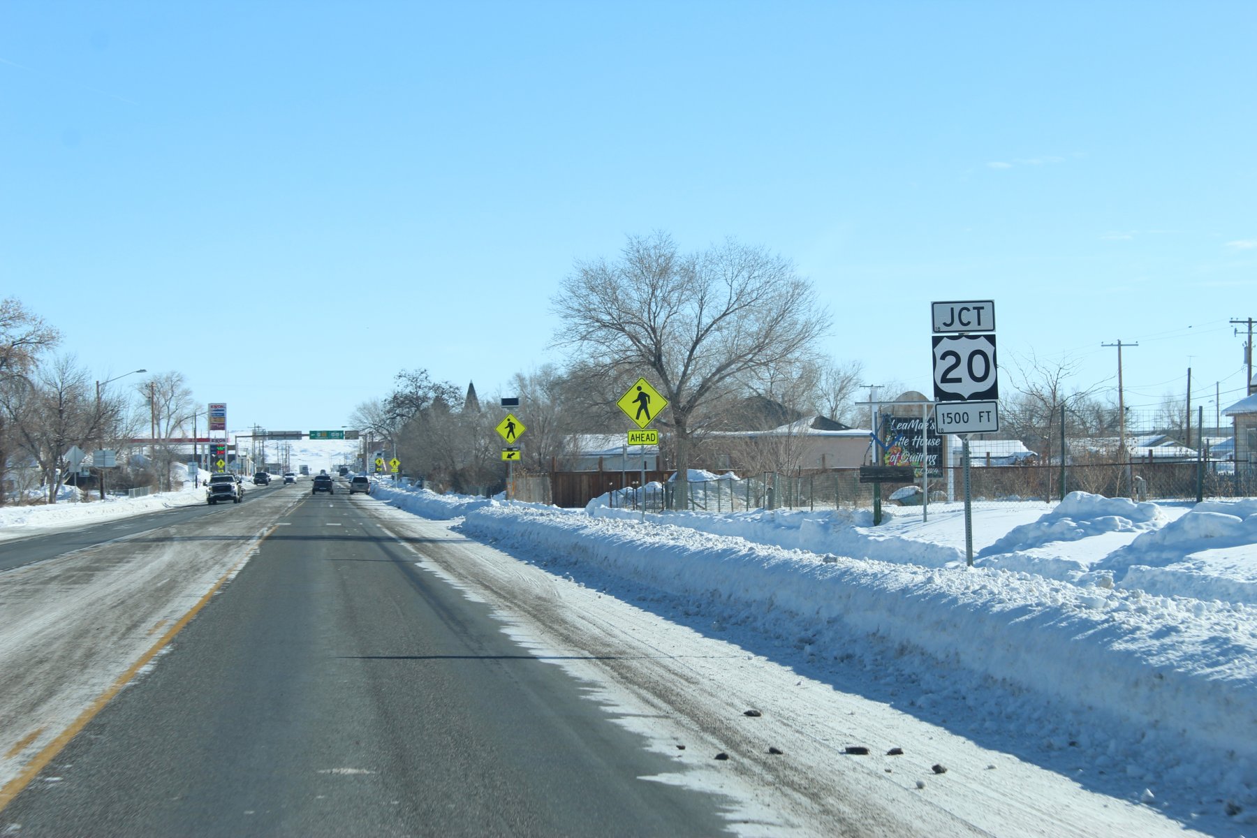
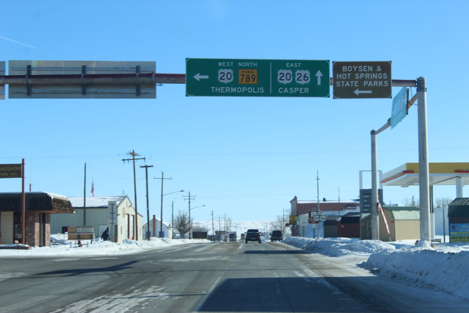
the truck looks so dirty! ... i think they salted the roads heavy back in Jackson Wyoming, streets were relatively non-slick in town until i headed out on US-26 south of YNP in the dark

definitely needs a truck wash bad
decent place to stay in Lander, wish i had more time/another night to spend but its a long treK back could take all day...


going to head east on US-26 ... aka the Oregon Trail
last evenings romp on US-26 around YNP was dark cold and treacherous... wish there were pics of that adventure but none there are

119 miles to Casper... where i was just at many days ago lol


Last edited:
JayQQ97
MW surVivor ... clutched. 368k on the 0D0
JayQQ97
MW surVivor ... clutched. 368k on the 0D0
.... on the hunt for a TigerTrail
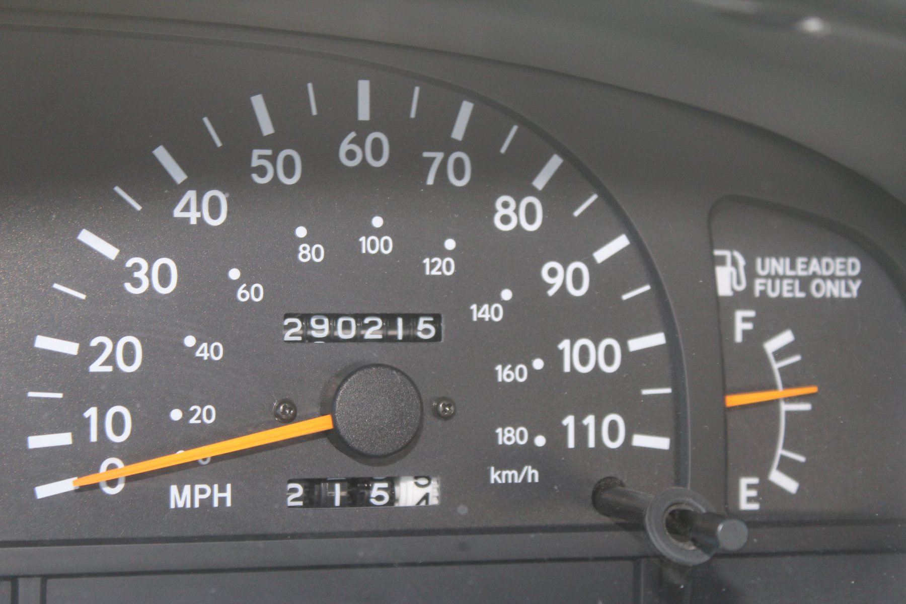
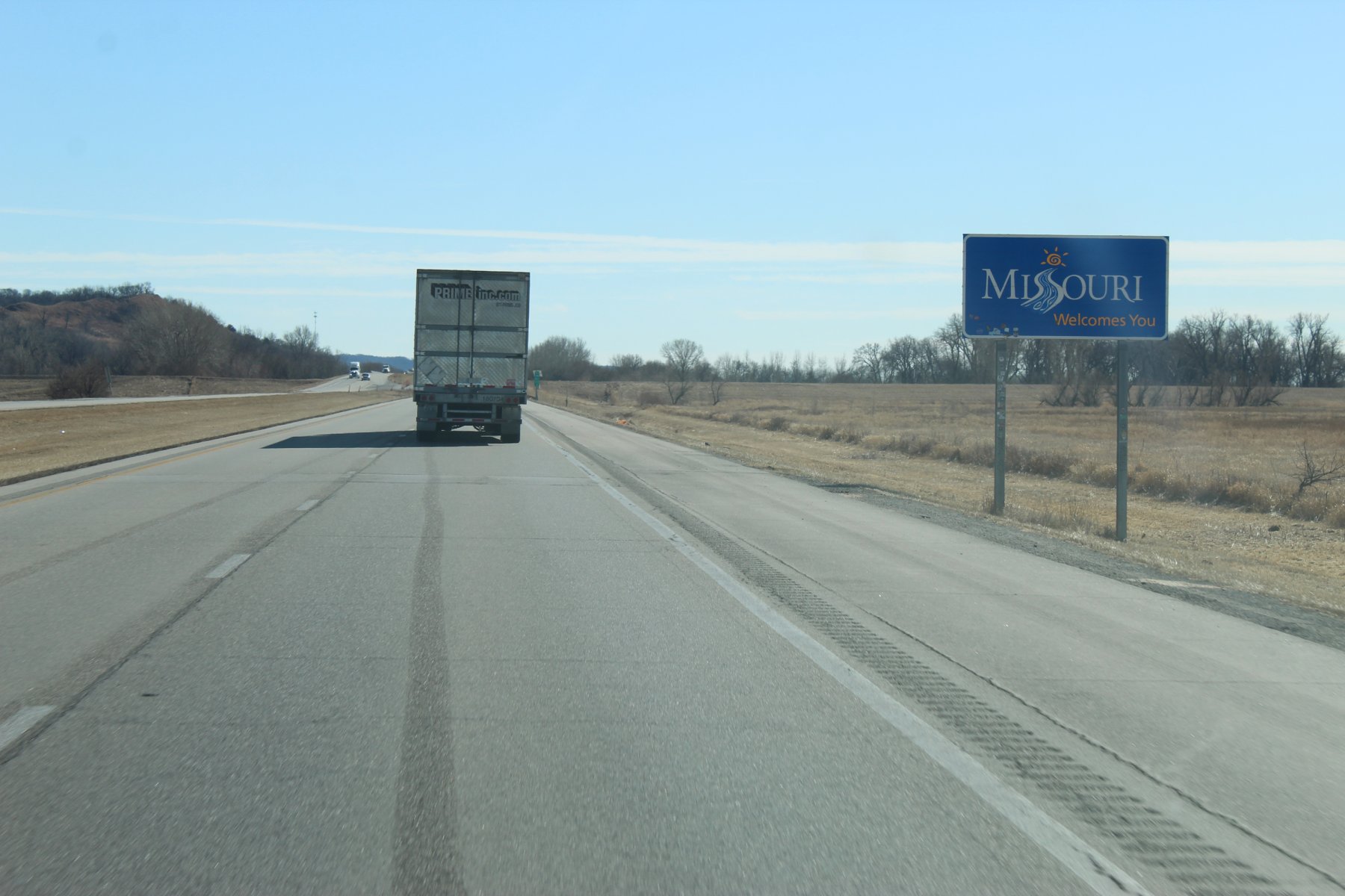
heading south into Missouri on the hunt for a new tigerTrail to wheel
its been 4 and half months since last time in the show-me-state wheeling tiger 90 on 20-Sept-2o22
a warm (for February) pleasant day on i-29 south..
opted to take the i-435 around the eastside instead of the normal wheeling thru the city centre
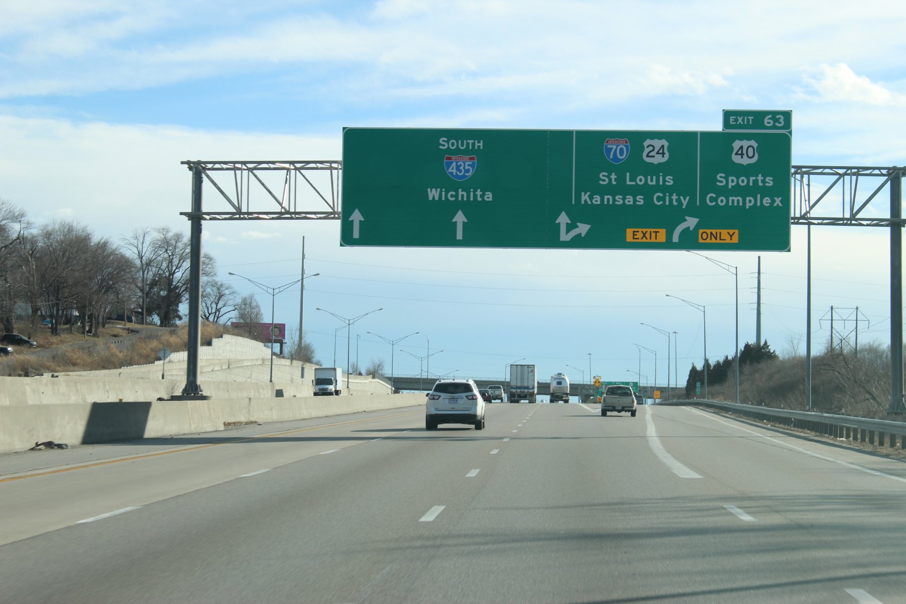
i do not think i have taken this way since they finished the interchange merge onto i-70 east... it used to be a left lane ramp iirc over the past decades+
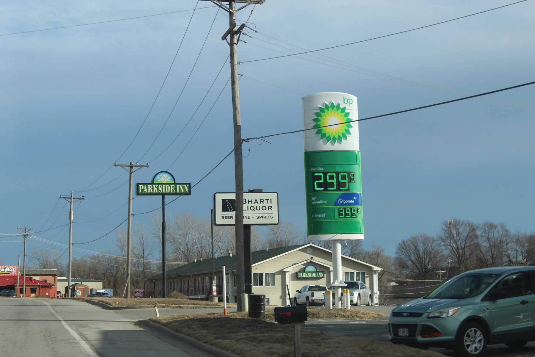
stopped for some tacoJuice at the BP in Odessa
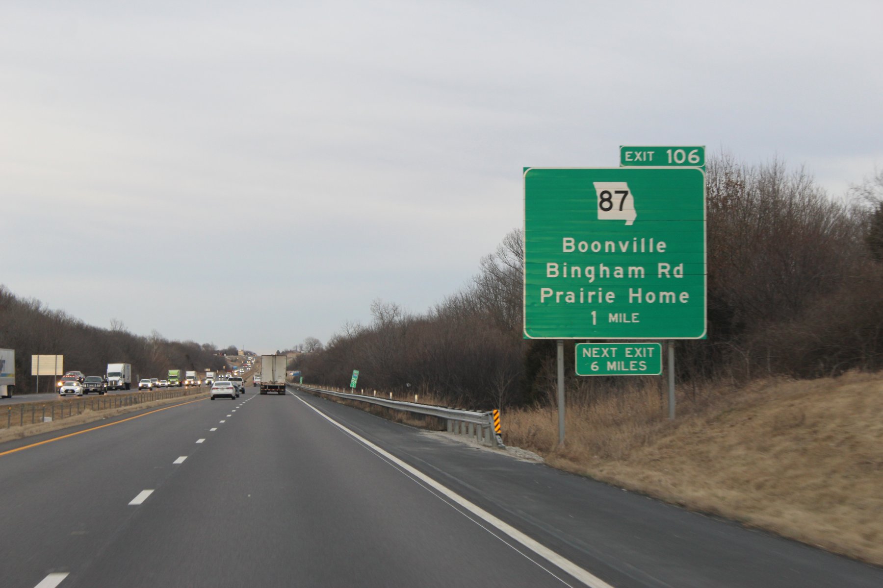
wheeled this tigerTrail back on 7-August-2o22
sooner or later there will be a brand new bridge to wheel across the mighty Missouri river
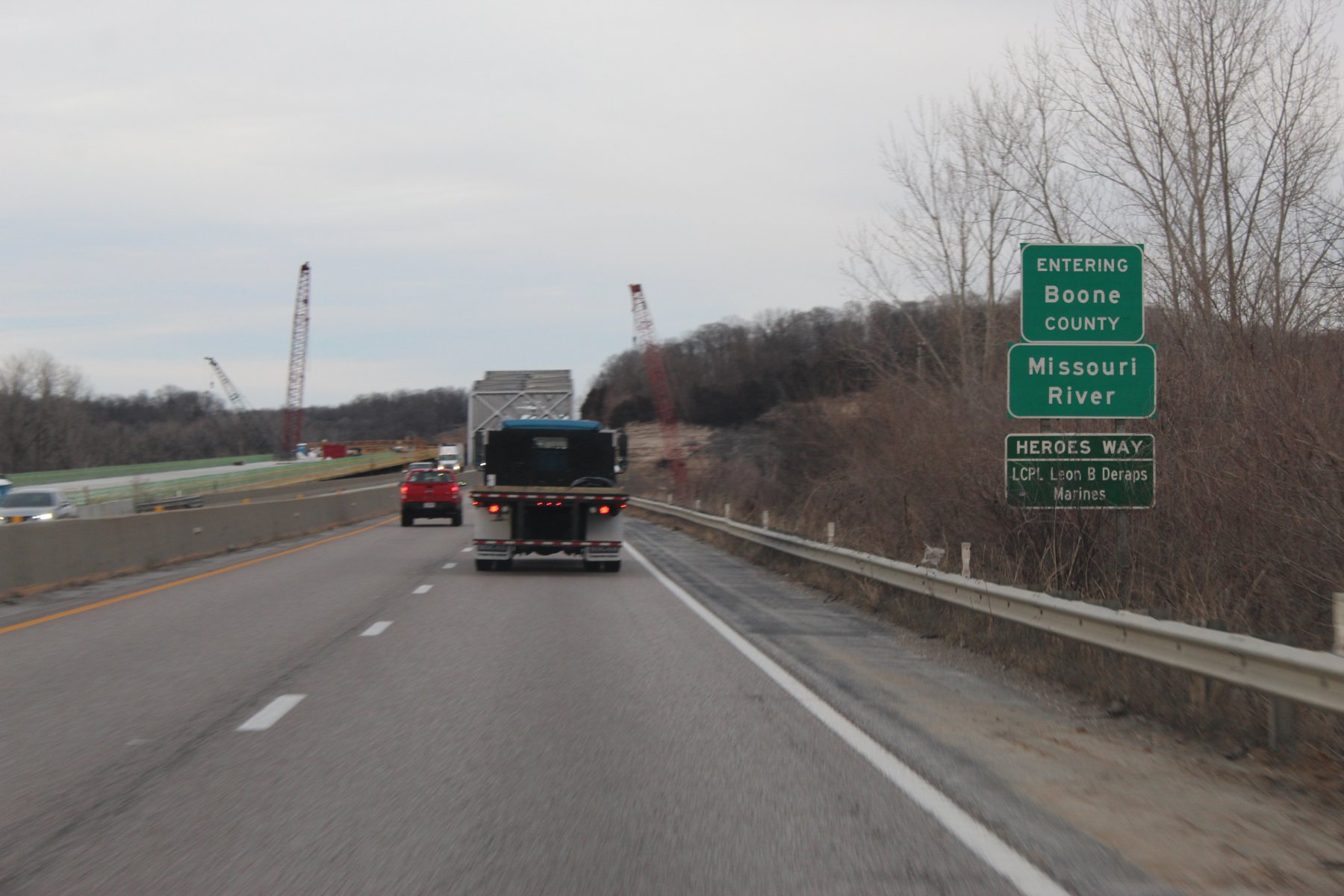
made it to Columbia a bit after 5pm for the next taco adventure
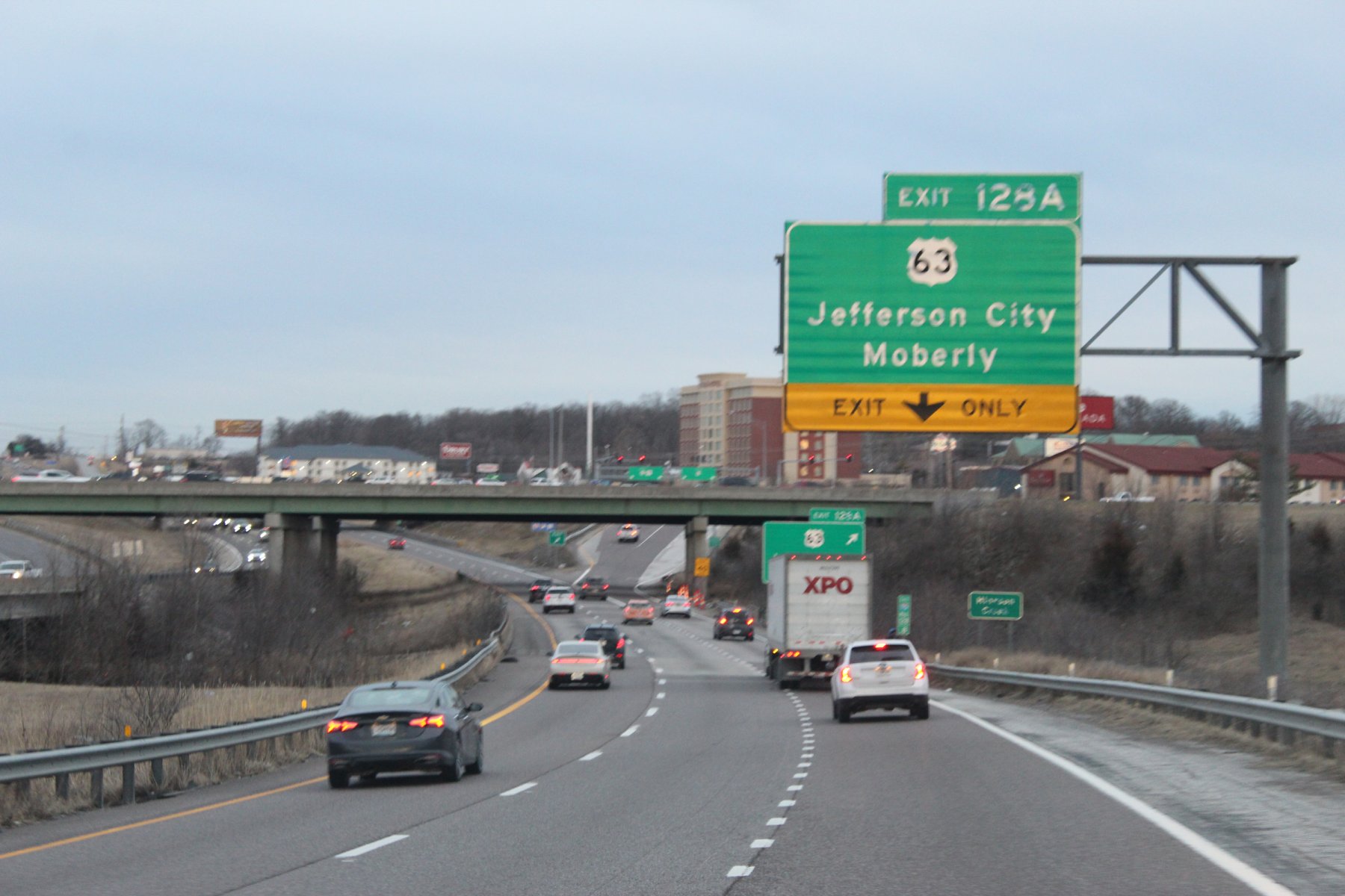
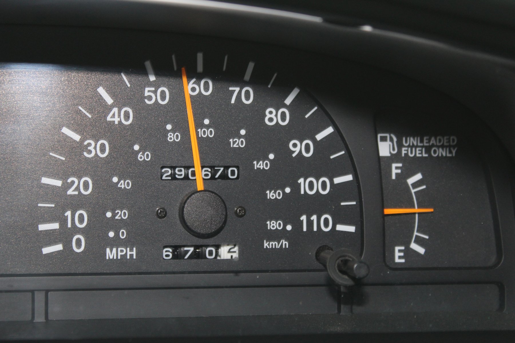

heading south into Missouri on the hunt for a new tigerTrail to wheel
its been 4 and half months since last time in the show-me-state wheeling tiger 90 on 20-Sept-2o22
a warm (for February) pleasant day on i-29 south..

opted to take the i-435 around the eastside instead of the normal wheeling thru the city centre
i do not think i have taken this way since they finished the interchange merge onto i-70 east... it used to be a left lane ramp iirc over the past decades+

stopped for some tacoJuice at the BP in Odessa

wheeled this tigerTrail back on 7-August-2o22

sooner or later there will be a brand new bridge to wheel across the mighty Missouri river

made it to Columbia a bit after 5pm for the next taco adventure


Last edited:
JayQQ97
MW surVivor ... clutched. 368k on the 0D0
wheeling a tigerTrail today
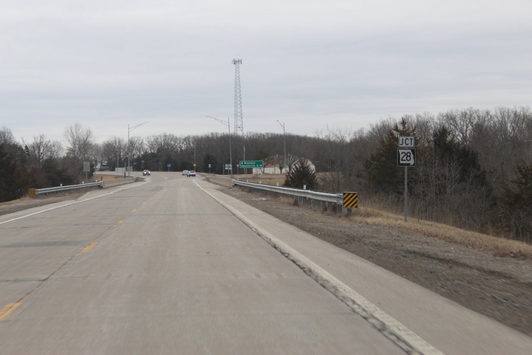
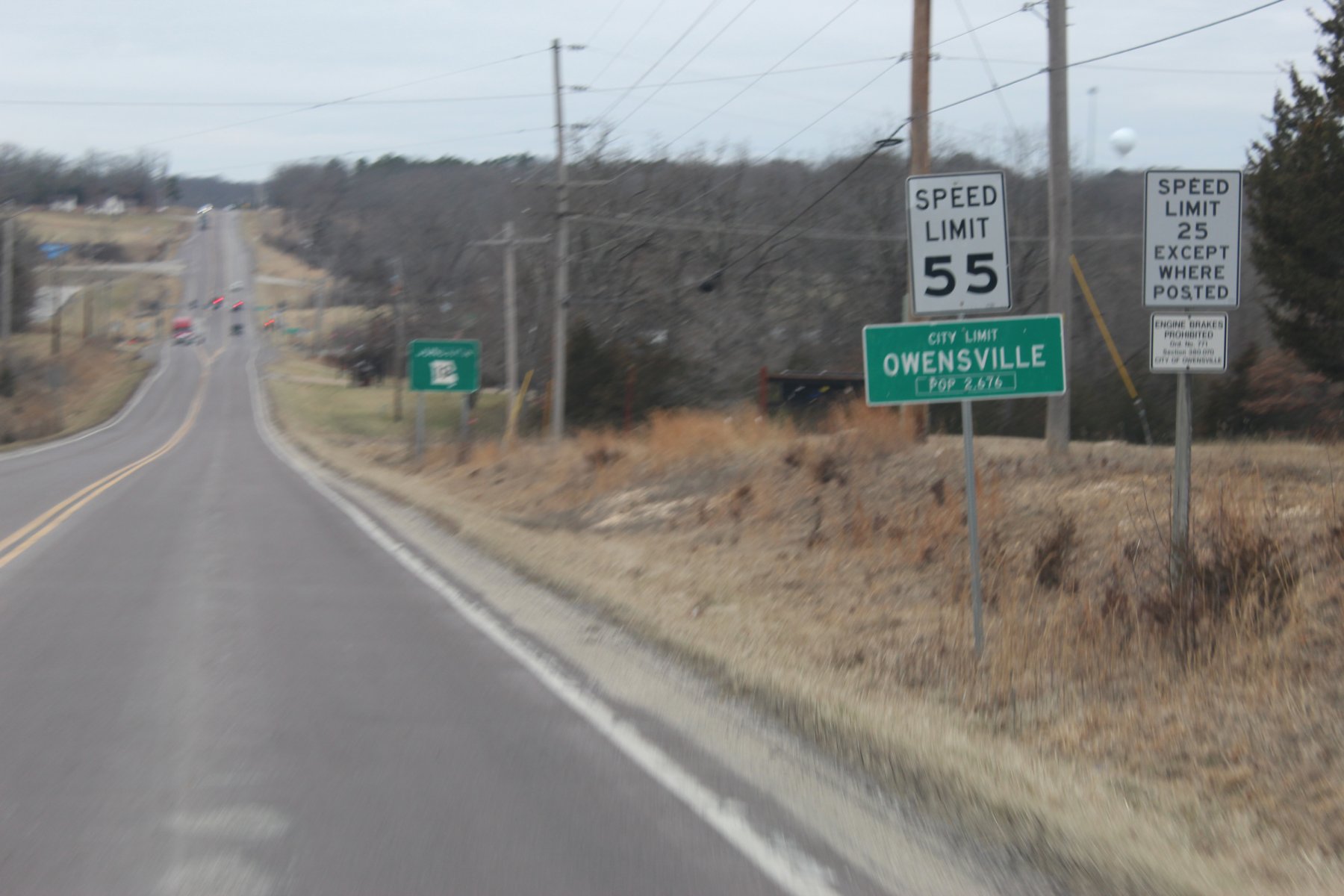
... runs 70 miles from US-50 in Rosebud to I-44 in St. Roberts

 en.wikipedia.org
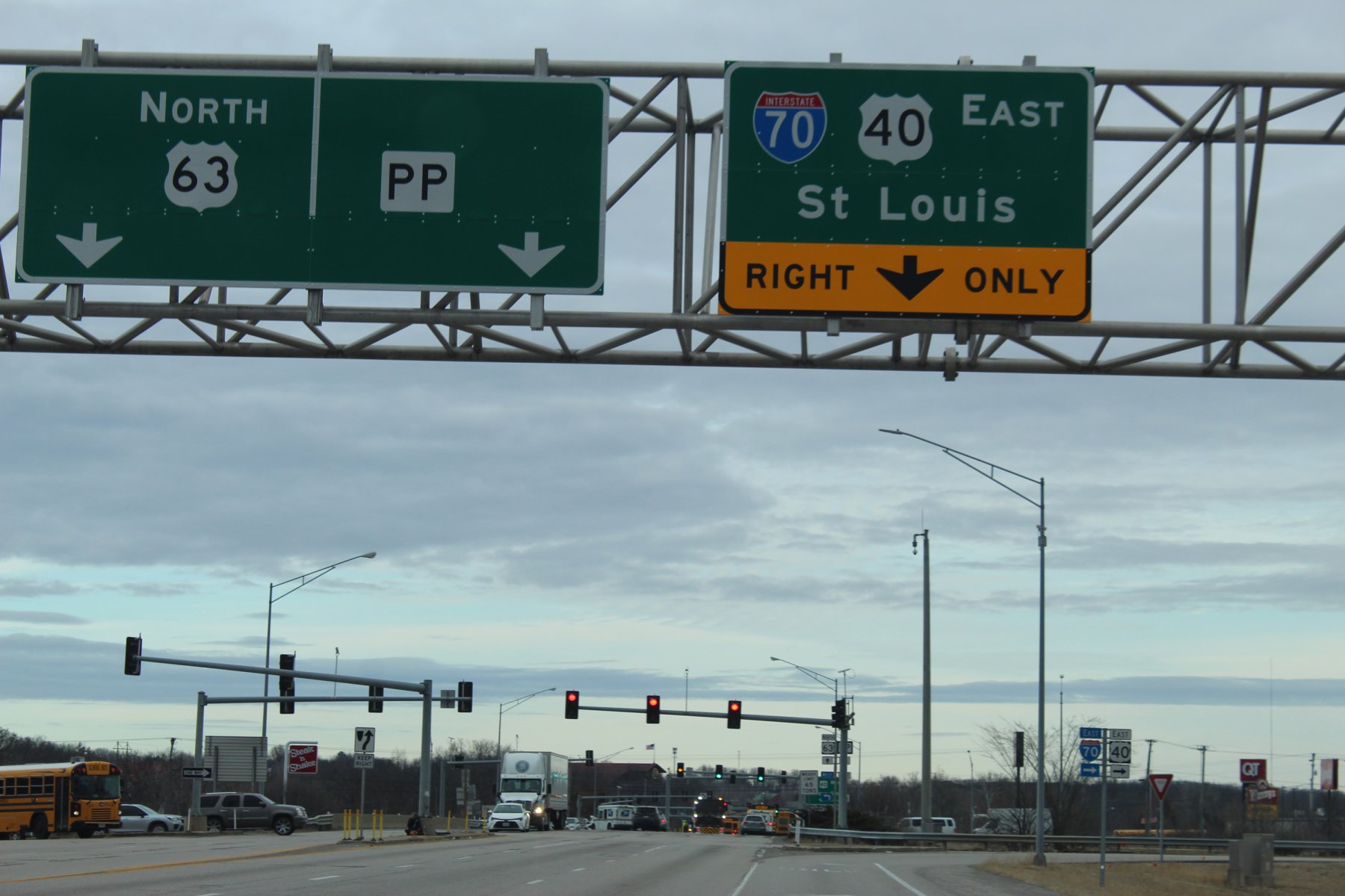
heading out of Columbia east to St Louis on i70
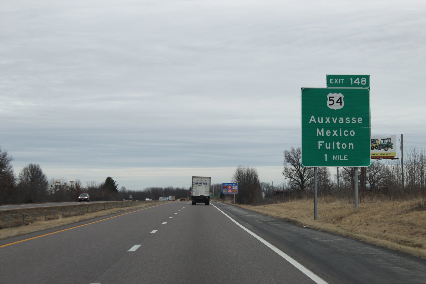
Mexico exit ?!? ... yes US-54 goes All The Way to the Mexico border
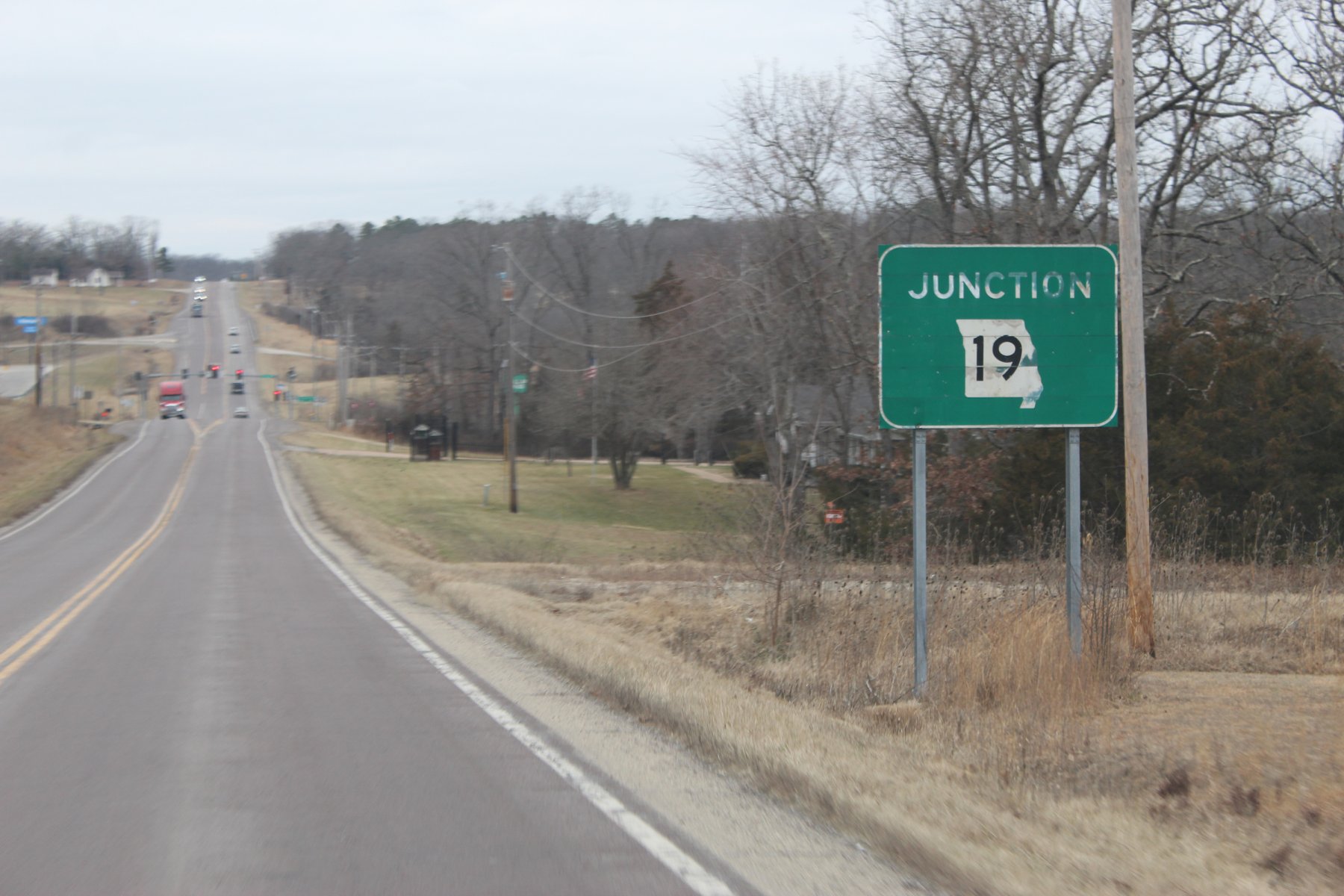
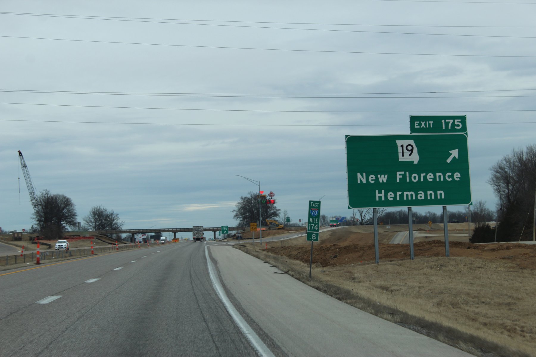
exiting i70 here and headed south on Tiger 19, which i wheeled a year ago on 19-Jan-2o22
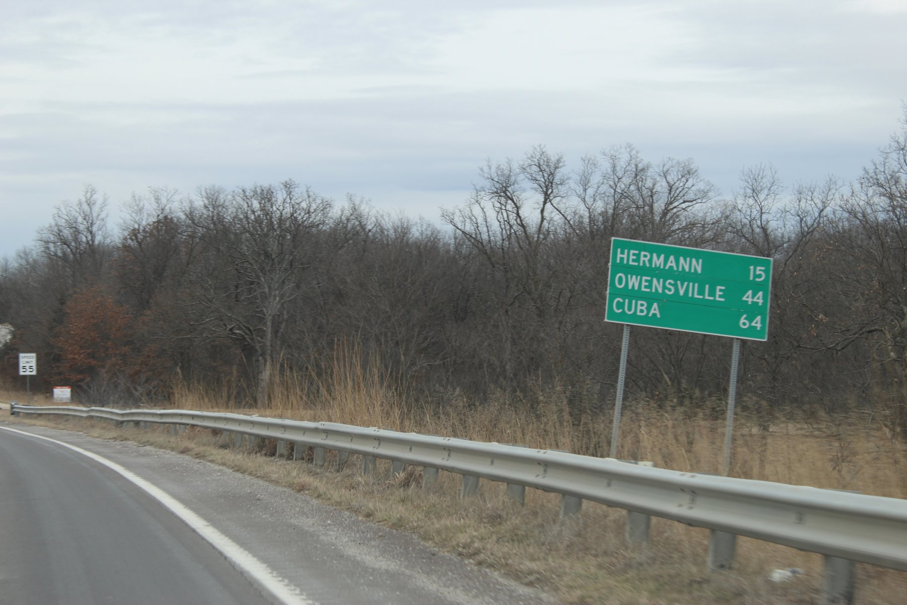
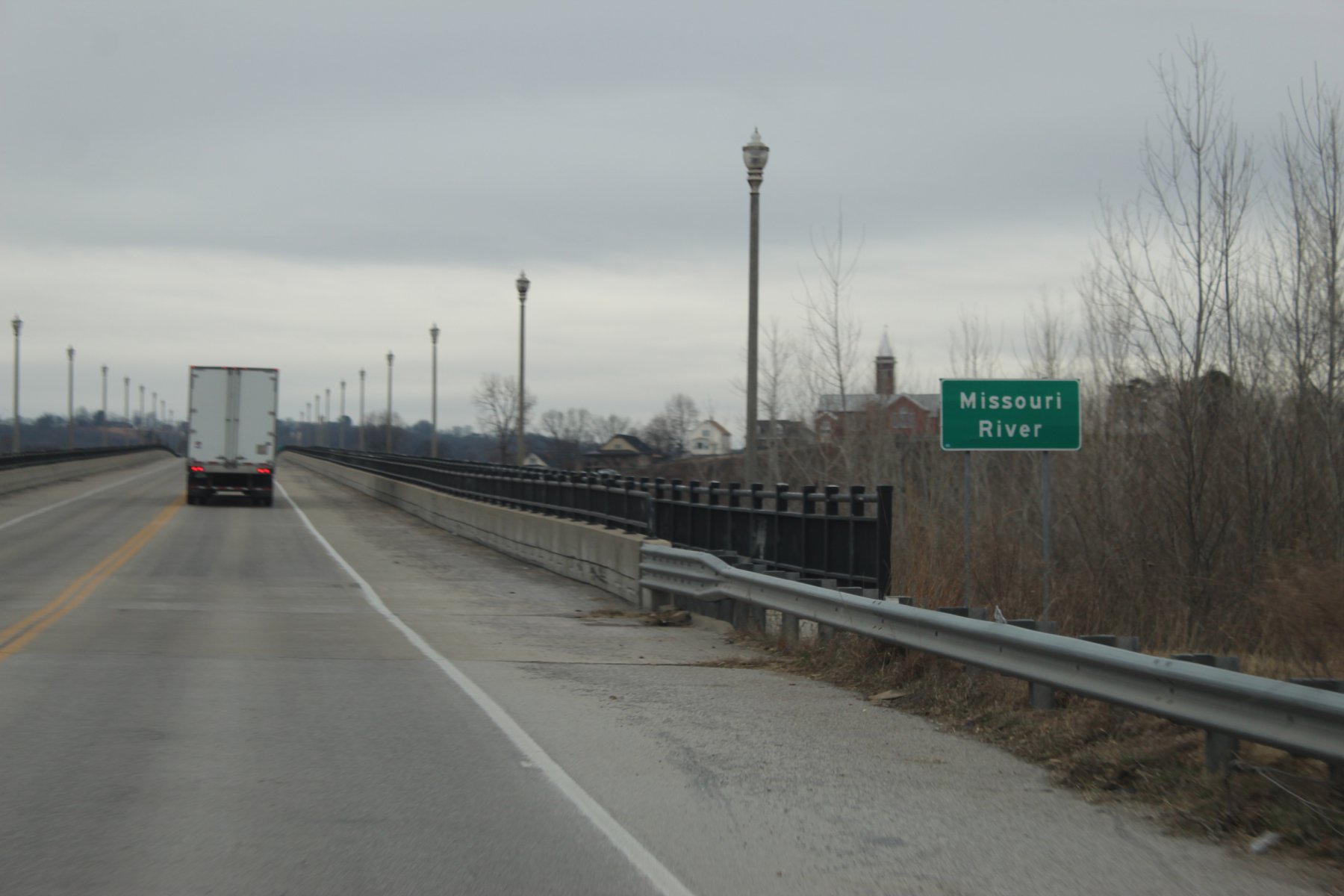
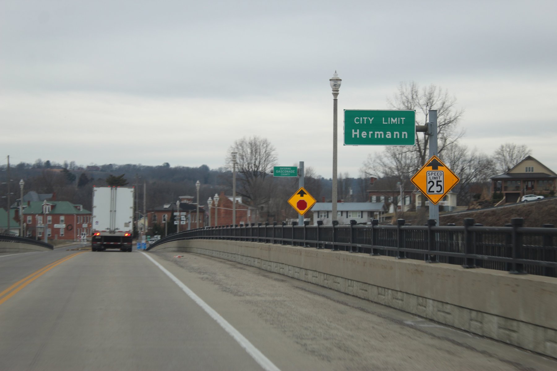
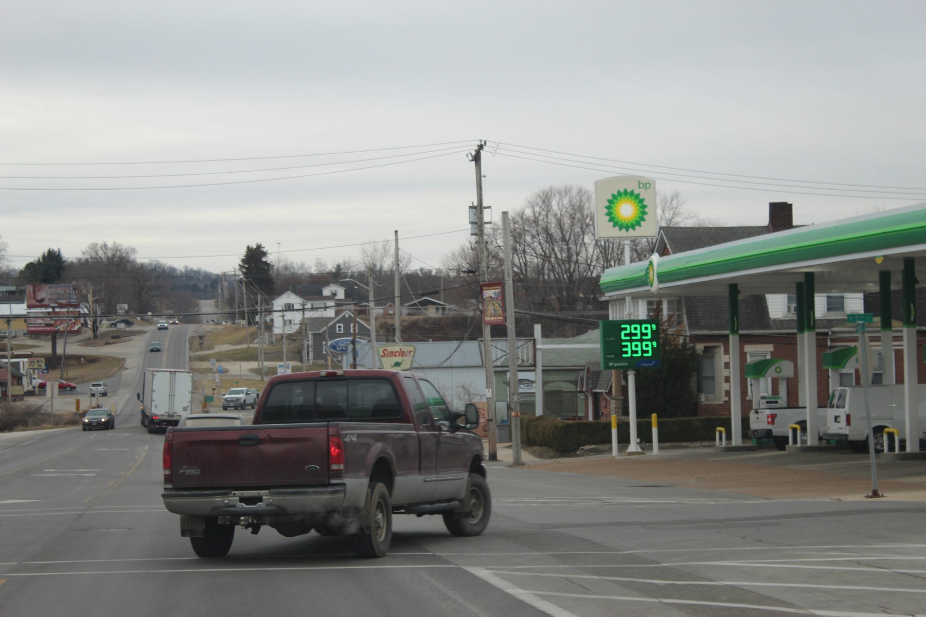
Missouri river crossing at Hermann
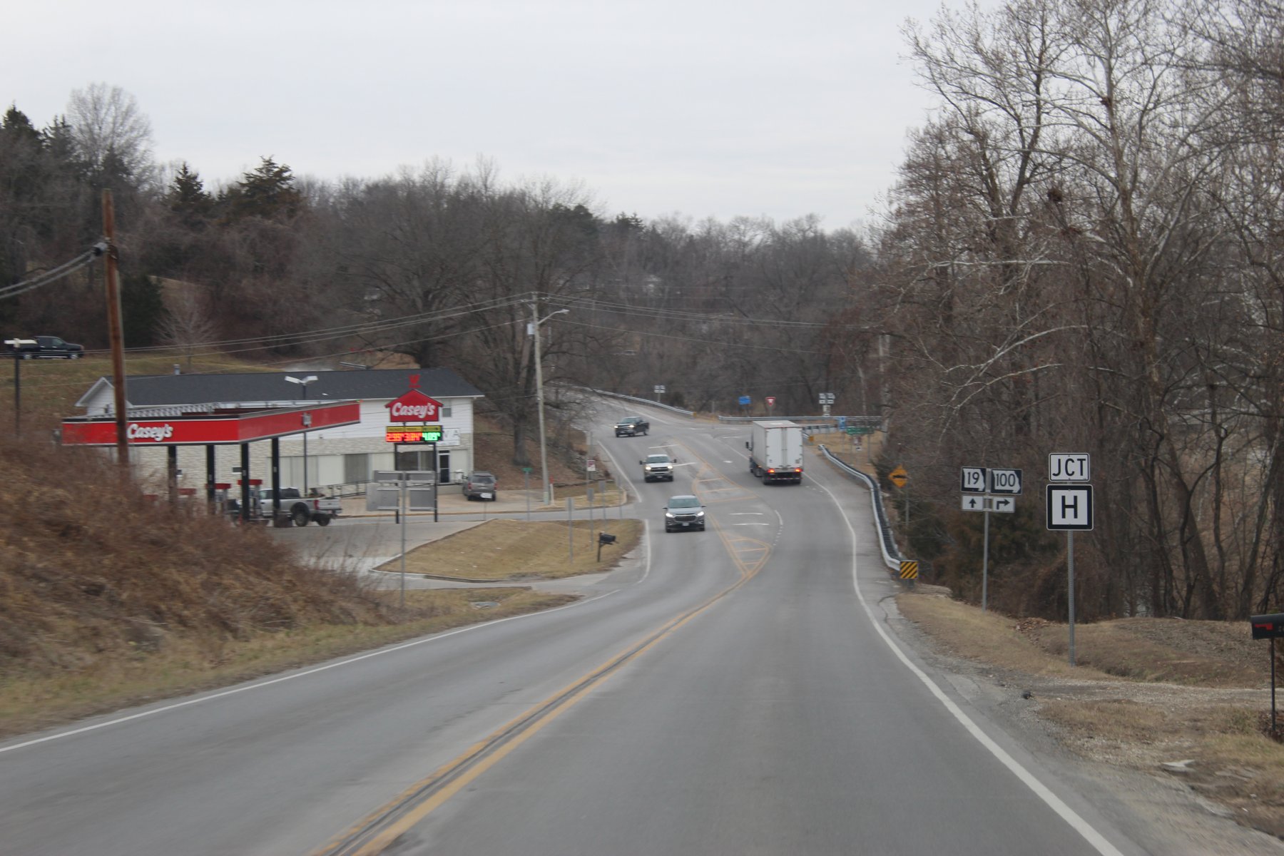
tiger trail 100 looks like a good wheel into StLouis

 en.wikipedia.org
need to head east on US-50 to find the trailHead
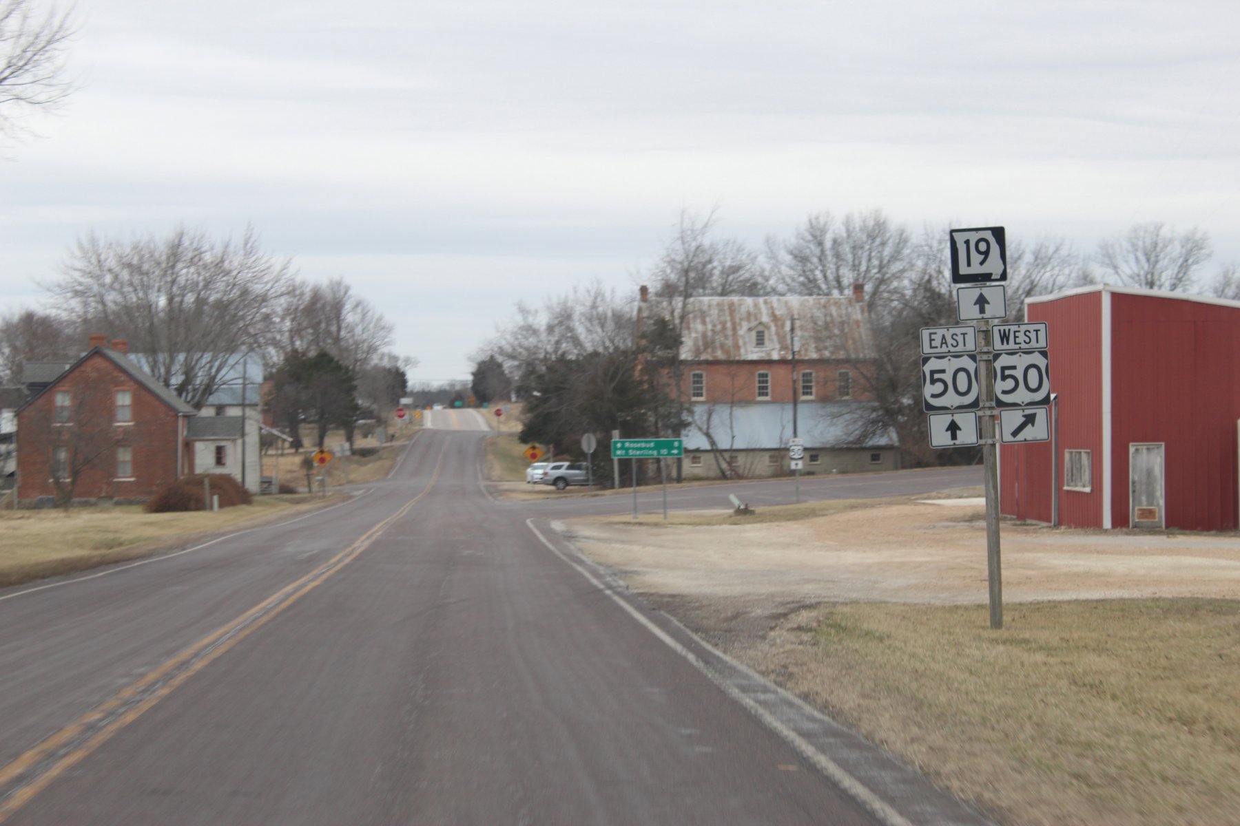
... runs 70 miles from US-50 in Rosebud to I-44 in St. Roberts

Missouri Route 28 - Wikipedia
heading out of Columbia east to St Louis on i70

Mexico exit ?!? ... yes US-54 goes All The Way to the Mexico border


exiting i70 here and headed south on Tiger 19, which i wheeled a year ago on 19-Jan-2o22


Missouri river crossing at Hermann


tiger trail 100 looks like a good wheel into StLouis

Missouri Route 100 - Wikipedia
need to head east on US-50 to find the trailHead

Last edited:


